Highway Springs Campground
This campground is conveniently located with two loops located right along US Highway 160 4.1 miles west of South Fork, Colorado. The lower loop is comprised of Aspen and a few Ponderosa pines and includes all the tent sites. The upper loop circles a knoll above US Highway 160 with shade provided by mature Ponderosa pines. This loop also provides excellent views of the surrounding area and mountains. The south fork of the Rio Grande provides fishing opportunities just south of the campground down in the valley. The newly remodeled (2010) facilities include 13 campsites with tables and fireplaces, 2 vault type toilets, and adequate turnaround and parking space for RV's.
More like this: first-come in Colorado · tent only in Colorado

Amenities & rules
| Equipment | Tents |
| Fees | Single Site - $23 to $25/night $12 for day use (picnicking). Fee envelopes and a collection box are provided near the entrance. |
Individual sites vary. Confirm on Recreation.gov or with the managing office.
Season & status
| Status | Closed for the season. Forest Service sites close for the season; check the official page for the reopening date. |
| Forest | Rio Grande National Forest |
| Booking | None taken. |
| Fees | Single Site - $23 to $25/night $12 for day use (picnicking). Fee envelopes and a collection box are provided near the entrance. |
| Rules | There is a 14 day stay limit. Visitors must have a Colorado fishing license to fish the nearby South Fork of the Rio Grande River. |
Weather by month
Getting there
| Coordinates | 37.6231° N, 106.6852° W · Directions ↗ |
Fire nearby
- WildfireElk
50 mi from the campground · 7,257 acres · 90% contained
Distance is to the reported incident point, not the fire edge. Call the managing office before you drive.
Supplies & services
| RV sales & service | RV sales & service ↗ | 7.6 mi |
| Dump station | Dump station ↗ | 31.7 mi |
| Outdoor gear | Kristi's Mountain Sports ↗ | 44.1 mi |
Locations © OpenStreetMap contributors. Call ahead; hours change seasonally.
Explore
Video
Highway Springs Campground, South Fork, Colorado
Worth a stop
- 1.1 miTrout Trailhead #831 ↗Trailhead
- 2 miBeaver Mountain Trailhead #933 ↗Trailhead
- 5.3 miColumbine Picnic Site ↗Day use
Trails nearby
- 0.5 miTewskberry ↗6.1 mi trail · hiking, horse, bike, motorcycle and 2 more
- 1.1 miTrout ↗10.5 mi trail · hiking, horse, bike, motorcycle and 1 more
- 1.7 miBeaver Mountain1 mi trail · hiking, horse, bike
- 2.1 miDecker ↗7.9 mi trail · hiking, horse, bike
- 2.5 miChurch Creek2.4 mi trail · hiking, horse, bike, motorcycle and 2 more
- 3.5 miCross Creek ↗4.7 mi trail · hiking, horse, bike, motorcycle and 2 more
Trailheads within three miles
- 1.1 miTrout Trailhead #831 ↗Rio Grande National Forest
- 2 miBeaver Mountain Trailhead #933 ↗Rio Grande National Forest · Season May
Trail and trailhead records are the Forest Service's. Distances are straight-line to the nearer trail end. Trail conditions are not tracked here.
Public land it sits in
This campground sits inside Rio Grande National Forest.
- inRio Grande National Forest ↗National Forest · Forest Service · 1,937,280 acres
- 14.1 miLa Garita Wilderness ↗Wilderness · Forest Service · 126,480 acres
Each unit is published as a centre point and an acreage rather than a boundary, so this section stands it in for a circle of the same area. Whether a campground is inside, and how far it is from one it is outside, are both approximate.
Other campgrounds nearby


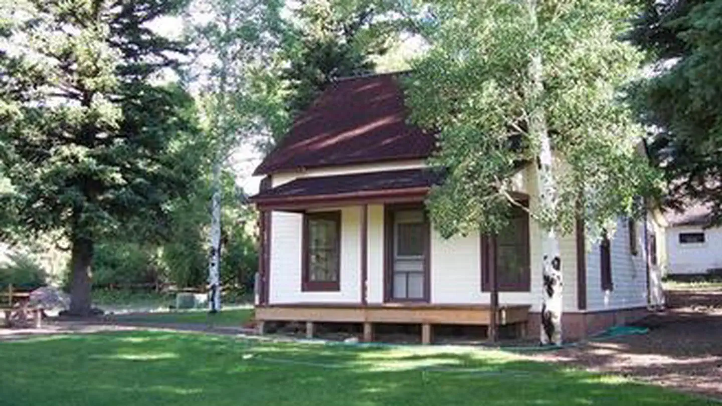
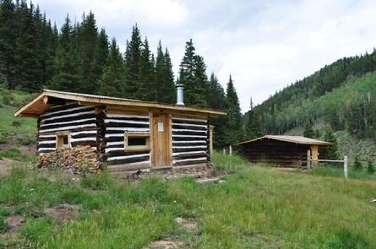
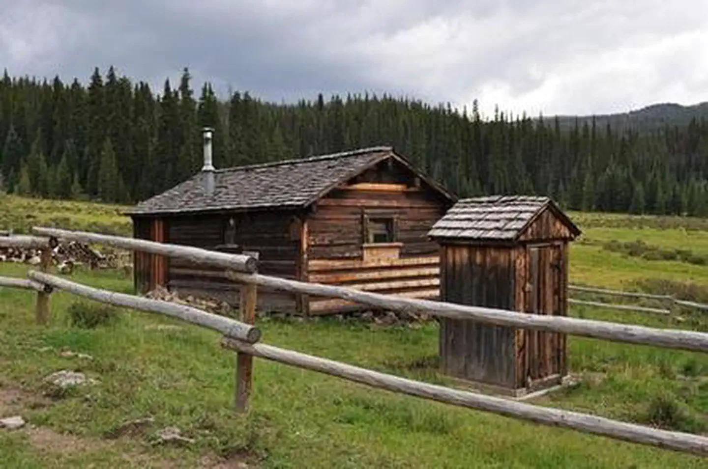
Cabin and lookout rentals nearby
On the National Register nearby
- Denver & Rio Grande Railroad South Fork Water TankStructure · South Fork · 4.7 mi
- Spruce LodgeBuilding · South Fork · 4.8 mi
- Wagon Wheel Gap Railroad StationBuilding · Creede · 12.5 mi
Guidebooks for Colorado
We earn a small commission if you buy through these links. It does not change what we list.
Titles come from Open Library's catalog, matched by subject heading or by title.
Reference
Questions people ask
How much does it cost to camp at Highway Springs Campground?
Single Site - $23 to $25/night $12 for day use (picnicking). Fee envelopes and a collection box are provided near the entrance.
Source: Forest Service
Is Highway Springs Campground open right now?
Closed for the season as of Oct 26, 2026.
Source: Forest Service status
How many sites does Highway Springs Campground have?
13 sites.
Source: Forest Service
Can I bring an RV to Highway Springs Campground?
Highway Springs Campground is listed for tents only.
Source: Forest Service
What if Highway Springs Campground is full?
The nearest public campgrounds are Lower Beaver Creek Campground (0.7 mi, first-come), Upper Beaver Creek Campground (1.3 mi, first-come), and Park Creek Campground (3.3 mi, first-come).
Source: Campgrounds nearby