Payne Lake Recreation Area
Payne Lake Recreation Area offers the outdoor enthusiasts solitude, a scenic lake, and picturesque campsites. Payne Lake Recreation Area has one swimming beach and two bathhouses for users of the recreation area. Each bathhouse has restrooms and showers. Camping is permitted at 26 developed sites along the shoreline of the 110-acre Payne Lake. Each site has a picnic table, cooking or fire circle, and tent or trailer pad. Payne Lake Recreation Area is open year-round and offers boating, fishing, picnicking and swimming opportunities for Forest users. A trailer dump station is located in the campground. NEW! Scan & Go Activity Pass
More like this: first-come in Alabama · tent only in Alabama

Amenities & rules
| Equipment | Tents |
| Fees | Recreation Fee Schedule |
Individual sites vary. Confirm on Recreation.gov or with the managing office.
Season & status
| Status | Open |
| Season | All year |
| Forest | National Forests in Alabama |
| Fees | Recreation Fee Schedule |
Weather by month
Getting there
| Coordinates | 32.8872° N, 87.4431° W · Directions ↗ |
Supplies & services
| RV sales & service | Alabama Campers ↗ | 19.5 mi |
| Outdoor gear | Black Warrior Outdoor ↗ | 23.5 mi |
Locations © OpenStreetMap contributors. Call ahead; hours change seasonally.
Explore
Worth a stop
- under 0.1 mi
- 8.3 miSouth Sandy Shooting Range ↗OHV / range
- 8.3 miSouth Sandy Shooting Range ↗OHV / range
Other campgrounds nearby
Historic landmarks nearby


Guidebooks for Alabama and the South
We earn a small commission if you buy through these links. It does not change what we list.
Titles come from Open Library's catalog, matched by subject heading or by title.
Reference
Questions people ask
How much does it cost to camp at Payne Lake Recreation Area?
Recreation Fee Schedule
Source: Forest Service
Is Payne Lake Recreation Area open right now?
Open as of Oct 26, 2026. Season All year.
Source: Forest Service status
How many sites does Payne Lake Recreation Area have?
26 sites.
Source: Forest Service
Can I bring an RV to Payne Lake Recreation Area?
Payne Lake Recreation Area is listed for tents only.
Source: Forest Service
What if Payne Lake Recreation Area is full?
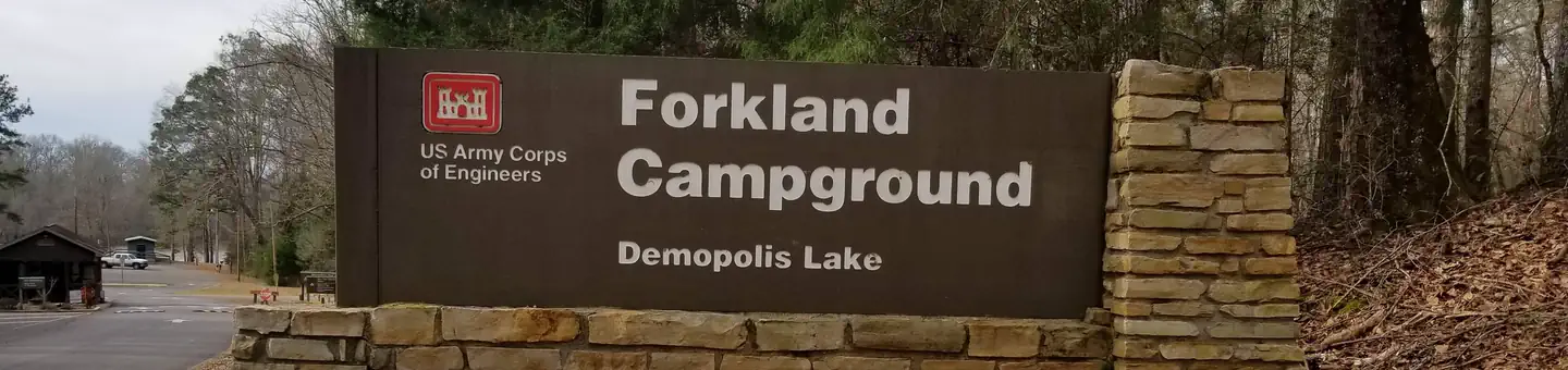
The nearest public campgrounds are Jennings Ferry (22.1 mi), Deerlick Creek (25.7 mi), and Forkland (31.3 mi).
Source: Campgrounds nearby