Campground: Coho Group Camp
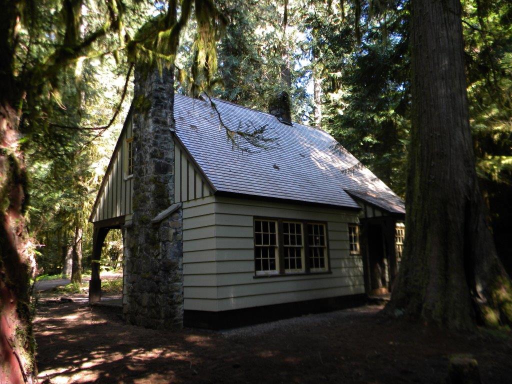
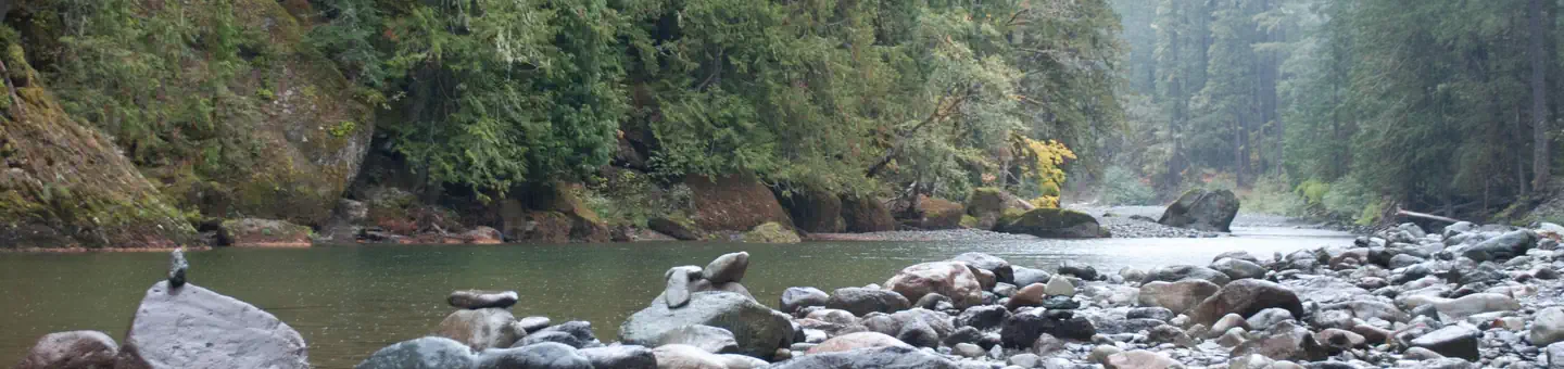
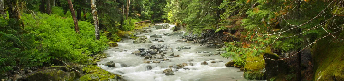
This is a small group area that has room for 5 vehicles and 25-30 people. It is located within the La Wis Wis Campground. La Wis Wis is a large campground (100 sites) located right off of US Highway 12 at the junction of the Clear Fork of the Cowlitz and the Ohanapecosh River. It is situated in an old growth stand of Douglas Fir, Hemlock and Cedar. Most sites offer good privacy. The Purcell Falls Trail #162A and the Blue Hole Trail #167 originate from the campground and offer views of the falls and the Blue Hole along the Ohanapecosh.
More like this: reservable in Washington · tent only in Washington
Amenities & rules
| Equipment | Tents |
| Fees | $100/night |
Individual sites vary. Confirm on Recreation.gov or with the managing office.
Season & status
| Status | Open |
| Forest | Gifford Pinchot National Forest |
| Booking | Make reservations at Recreation.gov, or by calling 1-877-444-6777. |
| Fees | $100/night |
| Rules | Maximum vehicle length is 24 feet. |
Weather by month
Getting there
| Coordinates | 46.6775° N, 121.5764° W · Directions ↗ |
Fire nearby
- WildfireGarda Falls
18 mi from the campground · 308 acres · 0% contained
- WildfireWest Fork
20 mi from the campground · 310 acres · 16% contained
- PrescribedMeloy Co-Op Rx
31 mi from the campground · 1 acres
- PrescribedNaches Programmatic Pile Rx
32 mi from the campground
Distance is to the reported incident point, not the fire edge. Call the managing office before you drive.
Supplies & services
| Dump station | Dump Station ↗ | 12 mi |
| Outdoor gear | RMI Rentals ↗ | 22.5 mi |
| RV sales & service | Sunset RV ↗ | 39.8 mi |
Locations © OpenStreetMap contributors. Call ahead; hours change seasonally.
Explore
Video
Coho Campground Review | Olympic National Forest in Washington
Worth a stop
- 1.7 miTrailhead: Bluff Lake ↗Trailhead
- 5.3 miTrailhead: Packwood Lake ↗Trailhead
- 9.5 miWhite Pass Day Use/Boat Launch/Trailhead ↗Boat launch
- 10.4 miDog Lake Day Use/Boat Launch/Trailhead ↗Boat launch
- 10.7 miParadise Wilderness Information Center ↗Visitor center
- 12.2 miLongmire Wilderness Information Center ↗Visitor center
Trails nearby
- 0.3 miBlue Hole0.07 mi trail · hiking, horse
- 0.4 miRiver View1.3 mi trail · hiking, horse, bike, motorcycle
- 0.6 miGrant Purcell Falls0.2 mi trail · hiking, horse, bike, motorcycle
- 1.2 miBackbone2.6 mi trail · hiking, horse, bike
- 1.2 miBackbone Lake0.4 mi trail · hiking, horse, bike
- 1.7 miBluff Lake ↗6.2 mi trail · hiking, horse, bike
Trailheads within three miles
- 1.7 miTrailhead: Bluff Lake ↗Gifford Pinchot National Forest
- 3 miTrailhead: Tatoosh South ↗Gifford Pinchot National Forest
Trail and trailhead records are the Forest Service's. Distances are straight-line to the nearer trail end. Trail conditions are not tracked here.
Public land it sits in
Tatoosh Wilderness begins about 1.9 miles away, and it is the closest of these.
- 1.9 miTatoosh Wilderness ↗Wilderness · Forest Service · 15,776 acres
- 3.5 miMount Rainier Wilderness ↗Wilderness · National Park Service · 228,480 acres
- 4.1 miGoat Rocks Wilderness ↗Wilderness · Forest Service · 108,020 acres
Each unit is published as a centre point and an acreage rather than a boundary, so this section stands it in for a circle of the same area. Whether a campground is inside, and how far it is from one it is outside, are both approximate.
Other campgrounds nearby

Historic landmarks nearby


Guidebooks for Washington
We earn a small commission if you buy through these links. It does not change what we list.
Titles come from Open Library's catalog, matched by subject heading or by title.
Reference
Questions people ask
Do I need a reservation at Campground: Coho Group Camp?
Sites at Campground: Coho Group Camp are reservable on Recreation.gov. Make reservations at Recreation.gov, or by calling 1-877-444-6777. Any walk-up sites are listed on the booking page.
Source: Forest Service
How much does it cost to camp at Campground: Coho Group Camp?
$100/night
Source: Forest Service
Is Campground: Coho Group Camp open right now?
Open as of Oct 26, 2026.
Source: Forest Service status
How many sites does Campground: Coho Group Camp have?
100 sites.
Source: Forest Service
Can I bring an RV to Campground: Coho Group Camp?
Campground: Coho Group Camp is listed for tents only.
Source: Forest Service
What if Campground: Coho Group Camp is full?
The nearest public campgrounds are La Wis Wis Campground (0.6 mi, partly first-come), Ohanapecosh Campground (3.7 mi), and Ohanapecosh Group Campground (3.7 mi).
Source: Campgrounds nearby