Raber Cow Camp Interpretive Hike
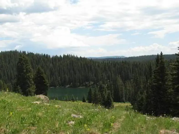
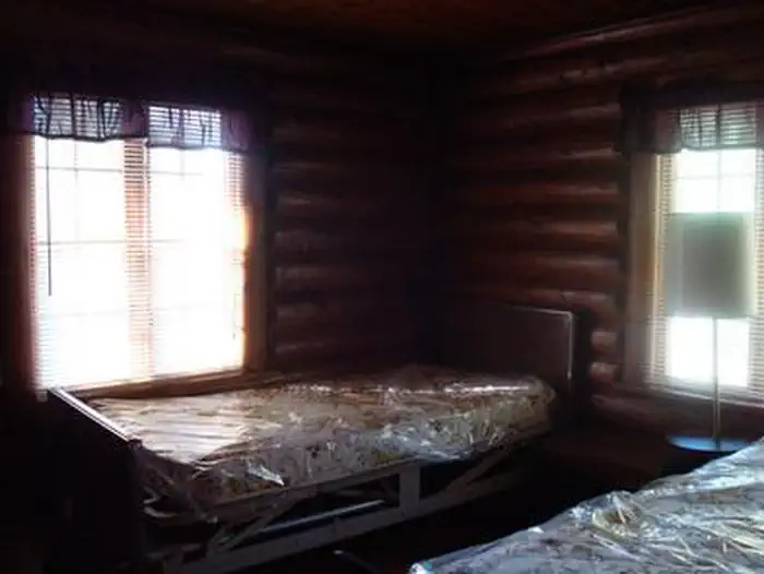
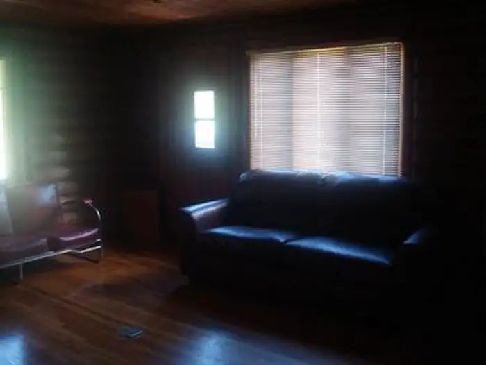
Raber Cow Camp is a loop trail with interpretive signs around an the old Historic cabins and corral. Most of the abandoned cow camps on the Grand Mesa were thought to be hazardous so the Forest Service tore them down. However, the Raber Cow Camp was spared and was actually renovated in 1993 as an example of what life here was like in the 1940’s and 1950’s, the heydays of cow camp life on Grand Mesa. Winifred Raber, who stayed at the cow camp every summer from the 1930s until 1966, has helped document the history of the camp. Some of her recollections and photographs are presented along a short interpretive trail that visitors can walk to learn about the cow camp’s history.
More like this: first-come in Colorado · tent only in Colorado

Amenities & rules
| Equipment | Tents |
Individual sites vary. Confirm on Recreation.gov or with the managing office.
Season & status
| Season | June to October |
| Forest | Grand Mesa, Uncompahgre and Gunnison National Fore |
Grand Mesa, Uncompahgre and Gunnison National Fore recreation page ↗
Weather by month
Getting there
| Coordinates | 39.0014° N, 108.1314° W · Directions ↗ |
Fire nearby
- PrescribedMain Mesa Piles Rx
14 mi from the campground · 366 acres
Distance is to the reported incident point, not the fire edge. Call the managing office before you drive.
Supplies & services
| Dump station | Dump station ↗ | 14.7 mi |
| RV sales & service | Timberleaf Camping Trailers ↗ | 23.2 mi |
| Outdoor gear | Loki Outdoor Shop ↗ | 23.6 mi |
Locations © OpenStreetMap contributors. Call ahead; hours change seasonally.
Explore
Worth a stop
- 8.2 miValley View Picnic Site ↗Day use
- 8.8 miWard Way Picnic Site ↗Day use
Trails nearby
- 0.1 miDeep Creek Cutoff1.2 mi trail · hiking, horse, bike
- 0.7 miFarmers1.4 mi trail · hiking, horse, bike
- 1.1 miCoal Creek ↗10.2 mi trail · hiking, horse, bike
- 1.1 miKannah Creek ↗7.3 mi trail · hiking, horse, bike
- 1.2 miCarson Lake1.1 mi trail · hiking, horse, bike
- 1.8 miSpring Camp ↗7.1 mi trail · hiking, horse, bike
Trail and trailhead records are the Forest Service's. Distances are straight-line to the nearer trail end. Trail conditions are not tracked here.
Public land it sits in
Grand Mesa, Uncompahgre and Gunnison National Forests begins about 7.9 miles away, and it is the closest of these.
- 7.9 miGrand Mesa, Uncompahgre and Gunnison National Forests ↗National Forest · Forest Service · 3,153,199 acres
- 11.8 miDominguez–Escalante National Conservation Area ↗National Conservation Area · Bureau of Land Management · 218,593 acres
Each unit is published as a centre point and an acreage rather than a boundary, so this section stands it in for a circle of the same area. Whether a campground is inside, and how far it is from one it is outside, are both approximate.
Other campgrounds nearby



Cabin and lookout rentals nearby
On the National Register nearby
- Land's End ObservatoryBuilding · Whitewater · 5.2 mi
- Stolte HouseBuilding · Cedaredge · 12.6 mi
- Surface Creek Livestock Company SilosStructure · Cedaredge · 13.1 mi
Guidebooks for Colorado
We earn a small commission if you buy through these links. It does not change what we list.
Titles come from Open Library's catalog, matched by subject heading or by title.
Reference
Questions people ask
Can I bring an RV to Raber Cow Camp Interpretive Hike?
Raber Cow Camp Interpretive Hike is listed for tents only.
Source: Forest Service
What if Raber Cow Camp Interpretive Hike is full?
The nearest public campgrounds are Jumbo Campground (4.1 mi, partly first-come), Spruce Grove (4.3 mi, first-come), and Island Lake Campground (6.8 mi, partly first-come).
Source: Campgrounds nearby