Dorchester Campground
This campground lies at the upper end of Taylor Park popular with off-highway vehicle users. A lengthy network of motorized trails leads from the Castle Creek Valley to Taylor Reservoir. This regions is great for enduro trail bike riders. The area offers good fishing and mountain biking. Landscape includes pine trees and riparian meadows.
More like this: first-come in Colorado · tent only in Colorado

Amenities & rules
| Equipment | Tents |
| Fees | No |
Individual sites vary. Confirm on Recreation.gov or with the managing office.
Season & status
| Status | Open |
| Season | Late May |
| Forest | Grand Mesa, Uncompahgre and Gunnison National Fore |
| Booking | No Reservations. |
| Fees | No |
Grand Mesa, Uncompahgre and Gunnison National Fore recreation page ↗
Weather by month
Getting there
| Coordinates | 38.9652° N, 106.6654° W · Directions ↗ |
Fire nearby
- WildfireWillow
22 mi from the campground · 7,359 acres · 92% contained
Distance is to the reported incident point, not the fire edge. Call the managing office before you drive.
Supplies & services
| Outdoor gear | Butte & Co. ↗ | 16.8 mi |
| Dump station | Dump station ↗ | 29.9 mi |
| RV sales & service | Holiday RV ↗ | 44.4 mi |
Locations © OpenStreetMap contributors. Call ahead; hours change seasonally.
Explore
Video
Video of Dorchester Park & Campground, WI from Myles A.
Worth a stop
- 8 miSayer's Gulch Trailhead ↗Trailhead
- 10.4 miNorth Fork Clear Creek Trailhead ↗Trailhead
Trails nearby
- 0.9 miLily Pond4 mi trail · hiking, horse, bike, motorcycle and 2 more
- 1.7 miStar Lily Connector2.1 mi trail · hiking, horse, bike, motorcycle and 1 more
- 2.9 miBowman Creek ↗4.7 mi trail · hiking, horse
- 3.2 miStar ↗8.4 mi trail · hiking, horse, bike, motorcycle and 1 more
- 4.1 miItalian Connector3.9 mi trail · hiking, horse, bike, motorcycle and 1 more
- 4.3 miSouth Fork Lake Creek3.2 mi trail · hiking, horse
Trail and trailhead records are the Forest Service's. Distances are straight-line to the nearer trail end. Trail conditions are not tracked here.
Public land it sits in
Collegiate Peaks Wilderness begins about 0.2 miles away, and it is the closest of these.
- 0.2 miCollegiate Peaks Wilderness ↗Wilderness · Forest Service · 165,874 acres
- 7.8 miWhite River National Forest ↗National Forest · Forest Service · 2,482,711 acres
- 10.5 miHunter-Fryingpan Wilderness ↗Wilderness · Forest Service · 82,496 acres
Each unit is published as a centre point and an acreage rather than a boundary, so this section stands it in for a circle of the same area. Whether a campground is inside, and how far it is from one it is outside, are both approximate.
Other campgrounds nearby


Cabin and lookout rentals nearby
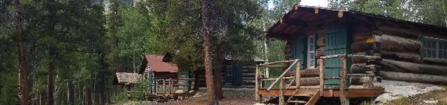
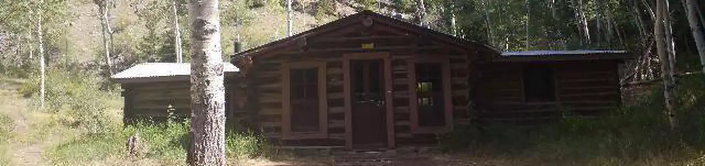
On the National Register nearby
- Ashcroft, ColoradoSite · Aspen · 9.4 mi
- Independence and Independence Mill SiteHistoric district · Ghost Town · 10.3 mi
- Winfield Mining CampSite · Buena Vista · 12.2 mi
Guidebooks for Colorado
We earn a small commission if you buy through these links. It does not change what we list.
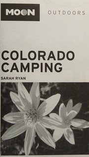
Titles come from Open Library's catalog, matched by subject heading or by title.
Reference
Questions people ask
Do I need a reservation at Dorchester Campground?
No. Dorchester Campground is first-come, first-served. No Reservations. Sites are taken on arrival and paid at the fee station.
Source: Forest Service
How much does it cost to camp at Dorchester Campground?
No
Source: Forest Service
Is Dorchester Campground open right now?
Open as of Oct 26, 2026. Season Late May.
Source: Forest Service status
Can I bring an RV to Dorchester Campground?
Dorchester Campground is listed for tents only.
Source: Forest Service
What if Dorchester Campground is full?
The nearest public campgrounds are Dinner Station (5.9 mi, partly first-come), Mosca (7.7 mi, first-come), and Portal Campground (8.2 mi, first-come).
Source: Campgrounds nearby