South Shore Campground and Day Use Area
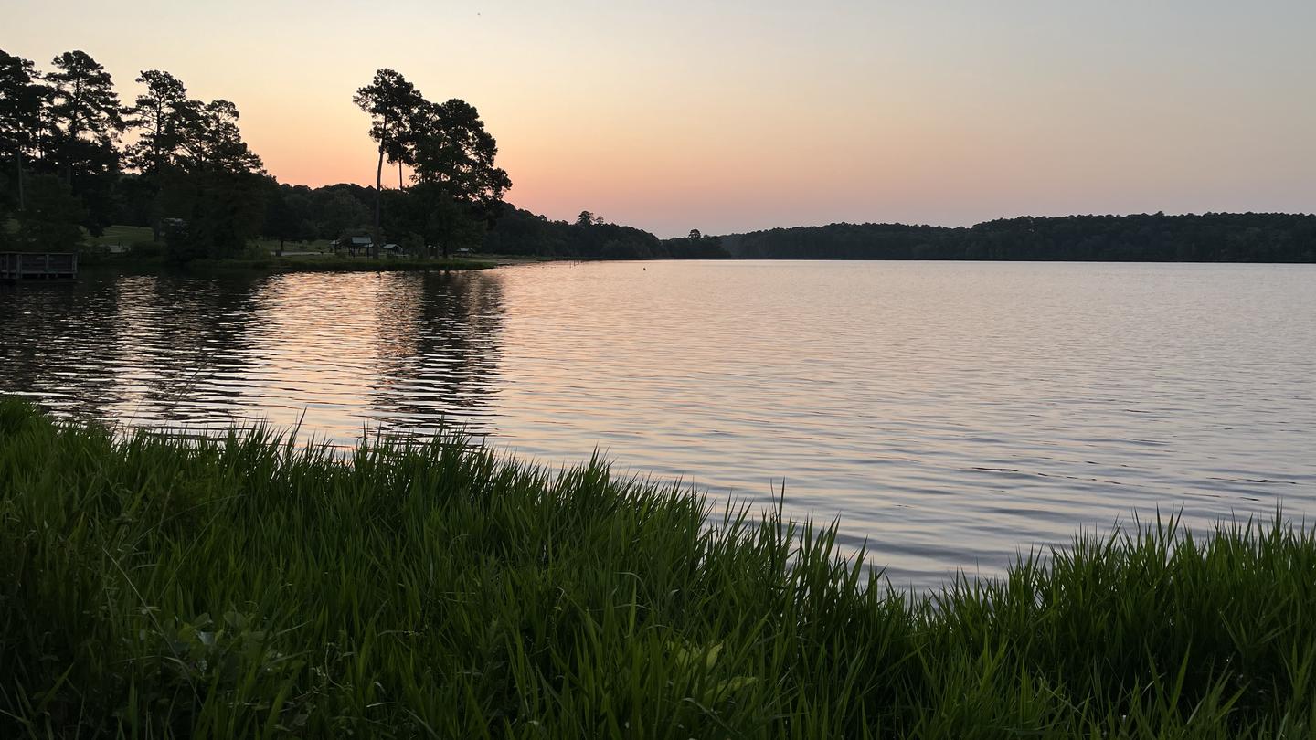
Visitors to the south shore camping area can utilize the facilities which include paved roads, lantern posts, fire rings, restrooms, ample parking, and trash receptacles. Visitors to this area can also use single and group picnic facilities which include a covered group-use shelter, several single picnic tables, a park-like setting with grass, a fishing pier, restrooms, ample parking, and trash receptacles.
More like this: first-come in Louisiana · tent only in Louisiana

Amenities & rules
| Equipment | Tents |
Individual sites vary. Confirm on Recreation.gov or with the managing office.
Season & status
| Forest | Kisatchie National Forest |
Weather by month
Getting there
| Coordinates | 32.9069° N, 92.7484° W · Directions ↗ |
Supplies & services
| Outdoor gear | Sports Alley ↗ | 21.6 mi |
Locations © OpenStreetMap contributors. Call ahead; hours change seasonally.
No site-by-site records, no fee schedule, no directions or photos in the Recreation.gov record. What is here comes from the agency's own listing. The rest lives there.
Checked nightly. Modules appear as soon as the record fills in.
Explore
Other campgrounds nearby
On the National Register nearby
- Alabama Methodist ChurchBuilding · Bernice · 3.5 mi
- Fellowship Rosenwald School Teacher's HomeBuilding · Lillie · 4.1 mi
- Mt. Sinai Rosenwald SchoolBuilding · Bernice · 4.7 mi
Guidebooks for Louisiana and the South
We earn a small commission if you buy through these links. It does not change what we list.
Titles come from Open Library's catalog, matched by subject heading or by title.
Reference
Questions people ask
Can I bring an RV to South Shore Campground and Day Use Area?
South Shore Campground and Day Use Area is listed for tents only.
Source: Forest Service
What if South Shore Campground and Day Use Area is full?
The nearest public campgrounds are North Shore Primitive Campground and Day Use Area (0.8 mi, first-come), Beaver Dam Campground (36.2 mi), and Cloud Crossing Recreation Area (57.6 mi, first-come).
Source: Campgrounds nearby