Tumbling Creek Campground
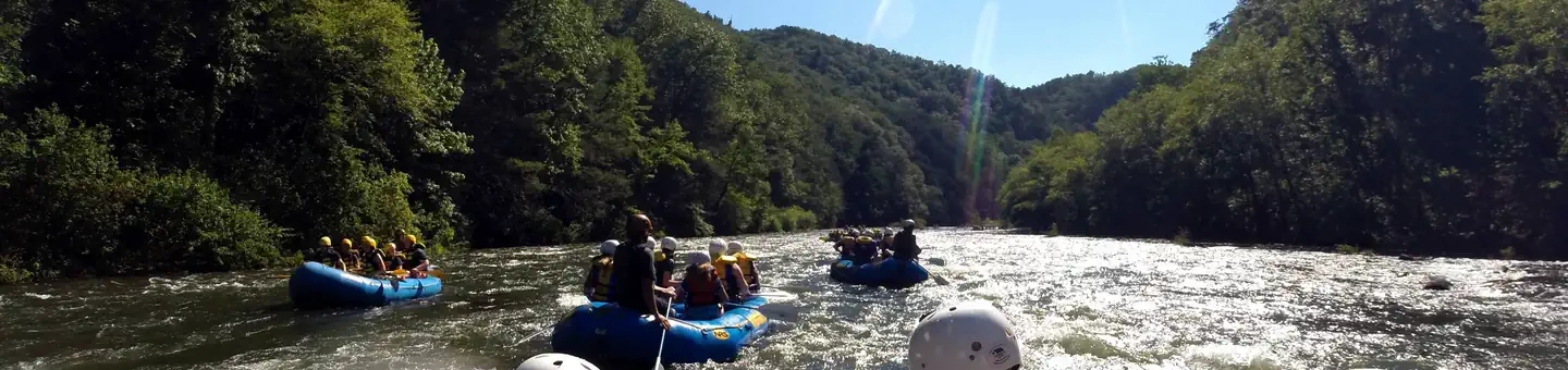
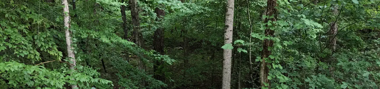
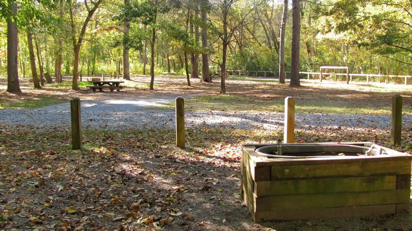
Located near Ocoee #3 Lake, this peaceful, remote campground offers 8 campsites along the banks of Tumbling Creek. Tumbling Creek Campground is convient to the Ocoee Whitewater Centers’ Tanasi trail complex which offers many miles and levels of difficulty for mountain bikers and hikers alike. If solitude is what you prefer, Big Frog Wilderness trails are also located nearby. Climbing to an altitude above 4,000 feet, some of these trails are rugged but reward the hiker with panoramic views of the mountains and the chance to see wildlife.
More like this: first-come in Tennessee · free in Tennessee · tent only in Tennessee

Amenities & rules
| Equipment | Tents |
| Fees | No Fee. |
Individual sites vary. Confirm on Recreation.gov or with the managing office.
Season & status
| Status | Open |
| Forest | Cherokee National Forest |
| Fees | No Fee. |
| Rules | Food storage restrictions apply at all areas on the Cherokee National Forest. All food and beverages must be stored in an approved bear-proof container, your locked vehicle or hard-sided camper at all times unless being eaten, prepared, or transported. Maximum of 5 people and 2 vehicles at each site. |
Weather by month
Getting there
| Coordinates | 35.0174° N, 84.4673° W · Directions ↗ |
Fire nearby
- PrescribedRx - Rymer Camp
7 mi from the campground · 381 acres
- PrescribedRx Bird Dog
22 mi from the campground · 34 acres
- PrescribedRx - Buck Branch
27 mi from the campground · 652 acres
- PrescribedPinnacle Kv Rx
43 mi from the campground · 246 acres
Distance is to the reported incident point, not the fire edge. Call the managing office before you drive.
Supplies & services
| Outdoor gear | Benton Shooters Supply ↗ | 15.2 mi |
| RV sales & service | Rick's RV Center ↗ | 23.2 mi |
| Dump station | Dump station ↗ | 27.3 mi |
Locations © OpenStreetMap contributors. Call ahead; hours change seasonally.
Explore
Worth a stop
- 9.2 miClemmer Trailhead ↗Trailhead
- 9.5 miMac Point Beach ↗Swimming
- 11.9 miChilders Creek Trailhead ↗Trailhead
- 14.4 miHiwassee River Picnic Area ↗Day use
- 14.7 miLakewood Landing Boat Launch ↗Boat launch
- 14.7 miSumac Creek Shooting Range ↗OHV / range
Show all 8Hide
- 14.7 miLakewood Landing Boat Launch ↗Boat launch
- 14.8 miBarnes Creek Picnic Area ↗Day use
Trails nearby
- 1.5 miRough Creek2.9 mi trail
- 1.7 miBrush Creek Spur0.6 mi trail
- 1.8 miOld Copper Road Bike Trail2.3 mi trail
- 1.8 miBoyd Gap Bike Trail0.5 mi trail
- 1.9 miBrush Creek Bike Trail ↗6.9 mi trail
- 1.9 miLicklog Ridge Trail ↗5.4 mi trail
Trail and trailhead records are the Forest Service's. Distances are straight-line to the nearer trail end. Trail conditions are not tracked here.
Public land it sits in
This campground sits inside Chattahoochee-Oconee National Forests.
- inChattahoochee-Oconee National Forests ↗National Forest · Forest Service · 1,796,317 acres
- 0.4 miBig Frog Wilderness ↗Wilderness · Forest Service · 8,502 acres
- 3 miLittle Frog Mountain Wilderness ↗Wilderness · Forest Service · 5,634 acres
Each unit is published as a centre point and an acreage rather than a boundary, so this section stands it in for a circle of the same area. Whether a campground is inside, and how far it is from one it is outside, are both approximate.
Other campgrounds nearby

On the National Register nearby
- Ocoee Hydroelectric Plant No. 2Building · Ocoee · 4.7 mi
- Central HeadframeStructure · Ducktown · 4.8 mi
- Kimsey Junior CollegeBuilding · Ducktown · 5 mi
Guidebooks for Cherokee National Forest and Tennessee
We earn a small commission if you buy through these links. It does not change what we list.
- Cherokee National Forest hiking guideWilliam H. Skelton and Lamar Alexander, 2024Find at Bookshop.org
- Campgrounds in and Around the Great Smoky Mountains National ParkGrueen Huffman, 2010Find at Bookshop.org
Titles come from Open Library's catalog, matched by subject heading or by title.
Reference
Questions people ask
How much does it cost to camp at Tumbling Creek Campground?
Nothing. Tumbling Creek Campground is listed as free. No Fee.
Source: Forest Service
Is Tumbling Creek Campground open right now?
Open as of Oct 26, 2026.
Source: Forest Service status
How many sites does Tumbling Creek Campground have?
8 sites.
Source: Forest Service
Can I bring an RV to Tumbling Creek Campground?
Tumbling Creek Campground is listed for tents only.
Source: Forest Service
What if Tumbling Creek Campground is full?
The nearest public campgrounds are Thunder Rock Campground (4.2 mi), Parksville Lake RV Campground (9.2 mi), and Lost Creek Campground (9.9 mi, first-come).
Source: Campgrounds nearby