Sheep Bridge
On the banks high above the river stands a replica of the Verde River Sheep Bridge. The Flagstaff Sheep Company and the Howard Sheep Company constructed the original bridge to minimize the loss of sheep when crossing the river. The bridge was started in 1943 and finished in 1944 at a cost of $7,277. The material used came from an Arizona mine and from a railroad line. On November 21, 1978, Sheep Bridge was entered into the National Register of Historic places. Sheep Bridge is the gateway to the west side of the Mazatzal Wilderness.
More like this: first-come in Arizona · tent only in Arizona

Amenities & rules
| Equipment | Tents |
Individual sites vary. Confirm on Recreation.gov or with the managing office.
Season & status
| Status | Open |
| Season | Year round |
| Forest | Tonto National Forest |
| Rules | Stay limit 14 days, motor boats and trailers prohibited. Caution: Water levels fluctuate seasonally and the river can run with great velocity. Do not cross flooded roadways. Pack it in pack it out. No toilet. Practice minimum impact by bringing a portable potty and disposing of the wastes properly. Road to Sheeps Bridge is rocky and technical, 4X4 and off-roading experience advised. |
Weather by month
Getting there
| Coordinates | 34.0780° N, 111.7095° W · Directions ↗ |
Fire nearby
- PrescribedRx Misc District Piles Tnf0106P
25 mi from the campground
- PrescribedRx Misc Piles Tnf0611P
26 mi from the campground
- PrescribedRx Rim Country Tnf0409B
35 mi from the campground
- PrescribedD2 Sinkhole Rx
50 mi from the campground · 875 acres
Distance is to the reported incident point, not the fire edge. Call the managing office before you drive.
Supplies & services
| Dump station | Dump station ↗ | 24.9 mi |
| Outdoor gear | Best Barbeques & Islands ↗ | 32.9 mi |
| RV sales & service | Whiskey Mountain RV ↗ | 42.1 mi |
Locations © OpenStreetMap contributors. Call ahead; hours change seasonally.
Explore
Trails nearby
- 0.1 miWillow Springs ↗16.2 mi trail · hiking, horse, bike
- 0.3 miDutchman Grave ↗10.1 mi trail · hiking, horse, bike
- 0.4 miVerde River ↗27.6 mi trail · hiking, horse
- 4.5 miRed Hills ↗14.6 mi trail · hiking, horse · national_scenic_or_historic
Trail and trailhead records are the Forest Service's. Distances are straight-line to the nearer trail end. Trail conditions are not tracked here.
Public land it sits in
This campground sits inside Mazatzal Wilderness, which overlaps Tonto National Forest.
- inMazatzal Wilderness ↗Wilderness · Forest Service · 250,760 acres
- inTonto National Forest ↗National Forest · Forest Service · 2,966,417 acres
- 12.1 miPine Mountain Wilderness ↗Wilderness · Forest Service · 20,053 acres
Each unit is published as a centre point and an acreage rather than a boundary, so this section stands it in for a circle of the same area. Whether a campground is inside, and how far it is from one it is outside, are both approximate.
Other campgrounds nearby


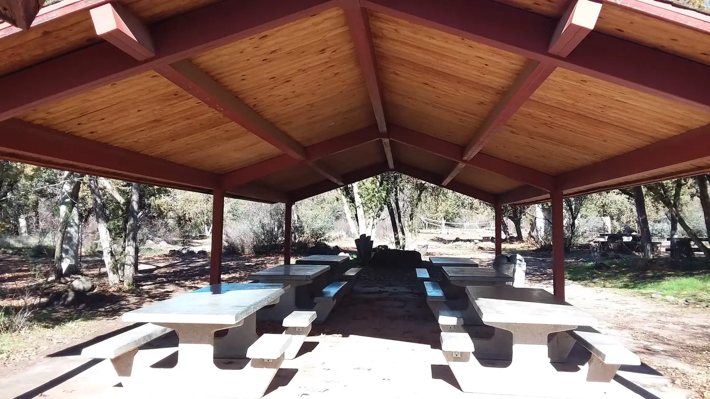

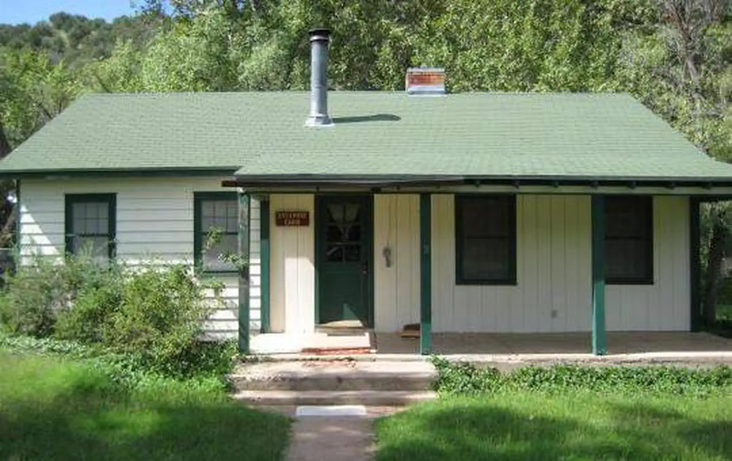
Cabin and lookout rentals nearby
On the National Register nearby
- Verde River Sheep BridgeStructure · Carefree · 0.1 mi
- Horseshoe DamStructure · Phoenix · 6.5 mi
Guidebooks for Tonto National Forest and Arizona
We earn a small commission if you buy through these links. It does not change what we list.
Titles come from Open Library's catalog, matched by subject heading or by title.
Reference
Questions people ask
Is Sheep Bridge open right now?
Open as of Oct 26, 2026. Season Year round.
Source: Forest Service status
Can I bring an RV to Sheep Bridge?
Sheep Bridge is listed for tents only.
Source: Forest Service
What if Sheep Bridge is full?
The nearest public campgrounds are Horseshoe (7 mi, first-come), Mesquite (7.8 mi, first-come), and Cave Creek Group Site (11.4 mi).
Source: Campgrounds nearby