Haigler Canyon Campground and Day Use
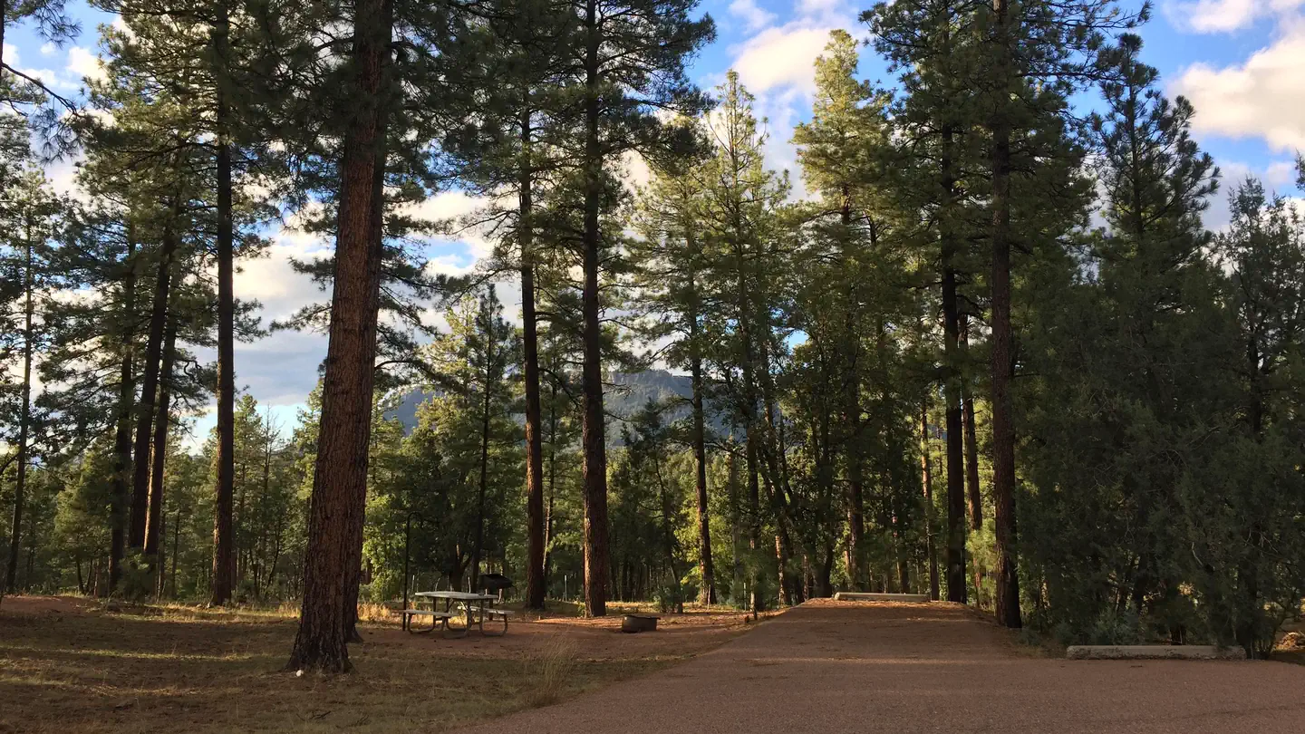
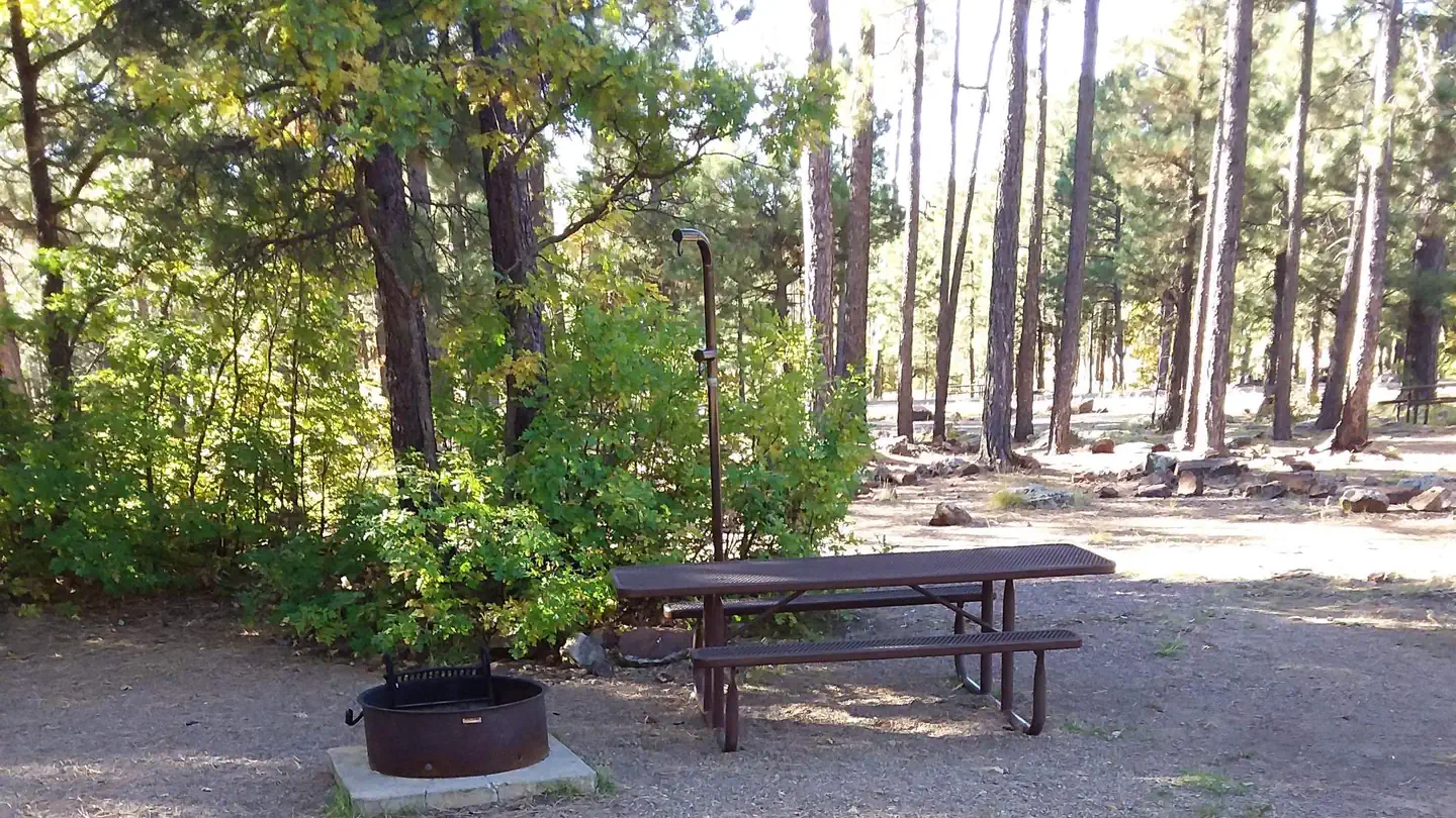
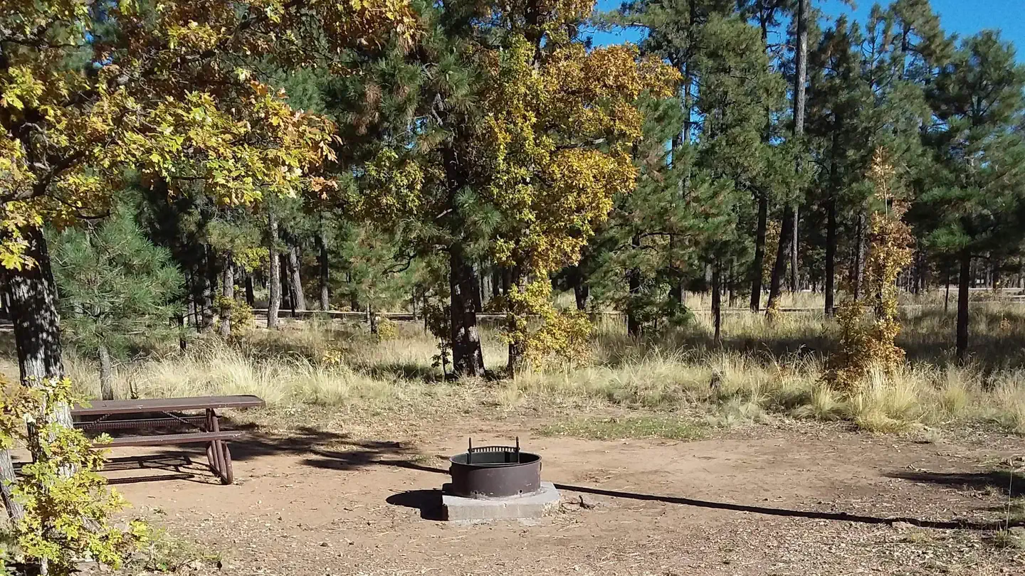
Haigler Canyon is deep within the forest. The unpaved road is windy, narrow, and steep which makes this recreation site a favorite for OHV use. Families enjoy driving down meandering roads on their OHVs while anglers enjoy fishing for trout at Haigler Creek. Haigler Canyon Trailhead also offers beautiful vistas, peace, and tranquility. Several shaded campsites include designated picnic tables with grills that offer more leisure time for relaxation. Review At-A-Glance below for more details about this site. This campground was constructed in 2007 and offers 2 independent campground areas with 14 overnight sites. The recreation area also includes 2 sites available for day-use visitors.
More like this: first-come in Arizona · tent only in Arizona

Amenities & rules
| Equipment | Tents |
Individual sites vary. Confirm on Recreation.gov or with the managing office.
Season & status
| Status | Open |
| Forest | Tonto National Forest |
| Rules | 14-day stay limit. Trailers under 20 feet. FR 200 and 291 are unpaved roads. A sewage dump facility is located at Ponderosa Campground on Hwy. 260, which is 15 miles east of Payson. Four-wheel-drive or chains are advised after heavy rains/snow. Only street-legal OHVs are allowed. Haigler Creek is prone to have flash floods from rains on the Mogollon Rim, only street-legal OHVs are allowed. |
Weather by month
Getting there
| Coordinates | 34.2198° N, 110.9635° W · Directions ↗ |
Fire nearby
- PrescribedD2 Sinkhole Rx
8 mi from the campground · 875 acres
- PrescribedRx Rim Country Tnf0409B
14 mi from the campground
- PrescribedD2 Dye Rx
15 mi from the campground · 5,246 acres
- PrescribedD2 Vincent Rx
16 mi from the campground · 2,258 acres
Distance is to the reported incident point, not the fire edge. Call the managing office before you drive.
Supplies & services
| Dump station | Woods Canyon Dump Station ↗ | 7.2 mi |
Locations © OpenStreetMap contributors. Call ahead; hours change seasonally.
Explore
Video
Video of Bonita Canyon Campground, AZ from Deanna P.
Worth a stop
- 6.6 mi
- 7 miMogollon Trailhead ↗Trailhead
- 7 miOld Rim Trailhead ↗Trailhead
- 7.3 miWillow Springs Lake Fishing And Boating Site ↗Fishing site
- 7.7 miSardine Point Day Use Area ↗Day use
Trails nearby
- 1.7 miBear Flat ↗6.5 mi trail · hiking, horse
- 4.6 miBig Ridge ↗5 mi trail · hiking, horse
Trail and trailhead records are the Forest Service's. Distances are straight-line to the nearer trail end. Trail conditions are not tracked here.
Public land it sits in
This campground sits inside Tonto National Forest.
- inTonto National Forest ↗National Forest · Forest Service · 2,966,417 acres
- 1.4 miHellsgate Wilderness ↗Wilderness · Forest Service · 37,457 acres
Each unit is published as a centre point and an acreage rather than a boundary, so this section stands it in for a circle of the same area. Whether a campground is inside, and how far it is from one it is outside, are both approximate.
Other campgrounds nearby
On the National Register nearby
- Pleasant Valley Ranger StationBuilding · Young · 7.4 mi
- Perkins StoreBuilding · Young · 8.5 mi
- Promontory Butte Lookout ComplexStructure · Beaver Park · 10.6 mi
Guidebooks for Tonto National Forest and Arizona
We earn a small commission if you buy through these links. It does not change what we list.
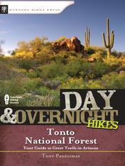
Titles come from Open Library's catalog, matched by subject heading or by title.
Reference
Questions people ask
Is Haigler Canyon Campground and Day Use open right now?
Open as of Oct 26, 2026.
Source: Forest Service status
How many sites does Haigler Canyon Campground and Day Use have?
2 sites.
Source: Forest Service
Can I bring an RV to Haigler Canyon Campground and Day Use?
Haigler Canyon Campground and Day Use is listed for tents only.
Source: Forest Service
What if Haigler Canyon Campground and Day Use is full?
The nearest public campgrounds are Sharp Creek (5.9 mi, partly first-come), Rim Campground (6.7 mi), and Crook Campground (6.8 mi).
Source: Campgrounds nearby