Lake Jeanette Campground & Backcountry Sites
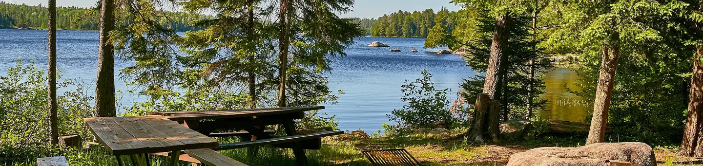
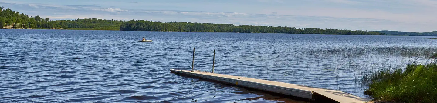
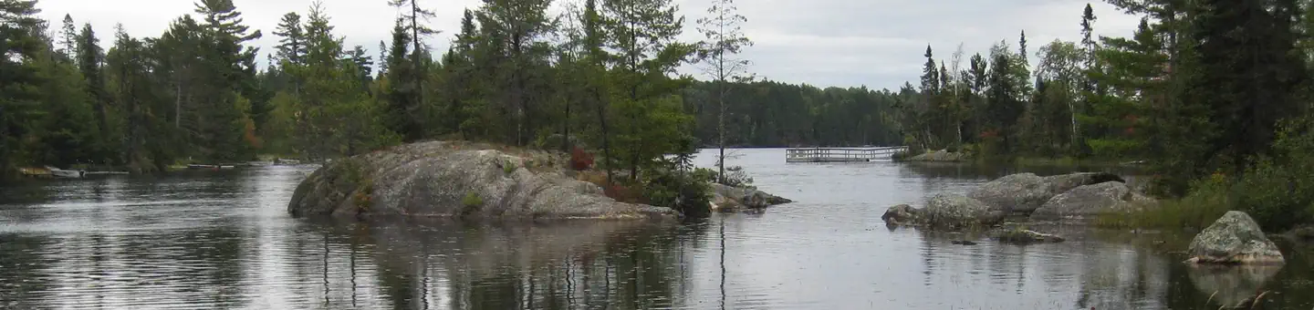
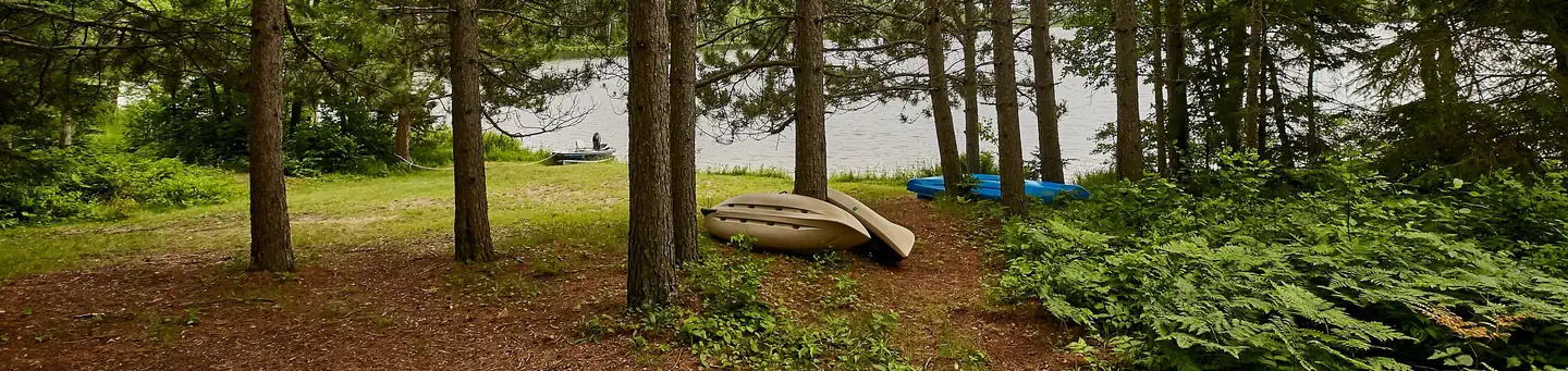
Lake Jeanette Campground is located on the Echo Trail, a remote country road that traverses through the heart of the western Superior National Forest. In addition to the campground, there are five backcountry campsites are nestled on the northern and eastern end of Lake Jeanette with access by boat from the campground. The terrain is granite rock outcroppings covered with a mix of pine and spruce trees.
Some sites take reservations on Recreation.gov. Others are first-come, first-served.
More like this: first-come in Minnesota · reservable in Minnesota · tent only in Minnesota

Amenities & rules
| Equipment | Tents |
| Fees | Single Site: $18/night |
Individual sites vary. Confirm on Recreation.gov or with the managing office.
Season & status
| Season | May 9 to September 2 |
| Forest | Superior National Forest |
| Booking | Some sites are reservable through Recreation.gov's Lake Jeanette Campground page. |
| Fees | Single Site: $18/night |
| Rules | Maximum of 9 people per site. There is space for 2 vehicles (a towed camper counts as 1 vehicle). Additional vehicles on the site require additional half fee and must park on the spur. No vehicles may park on the grass or where they impede traffic. ATVs not allowed. |
Weather by month
Getting there
| Coordinates | 48.1318° N, 92.2967° W · Directions ↗ |
Fire nearby
- PrescribedWest Twin Point Piles Rx
20 mi from the campground
- PrescribedTwin Shoreline Piles Rx
20 mi from the campground · 14 acres
- PrescribedTwin South Piles Rx
20 mi from the campground
- PrescribedKettle Falls Pile Burn Rx
30 mi from the campground · 40 acres
Distance is to the reported incident point, not the fire edge. Call the managing office before you drive.
Supplies & services
| Outdoor gear | Outdoor gear ↗ | 11.8 mi |
| Dump station | Dump station ↗ | 20.6 mi |
Locations © OpenStreetMap contributors. Call ahead; hours change seasonally.
Explore
Worth a stop
- 12.7 miCrane Lake Visitor Center ↗Visitor center
Trails nearby
- 0.1 miAstrid Main4.4 mi trail · hiking, horse, bike, ATV and 1 more
- 0.6 miNigh Creek Spur A0.9 mi trail · hiking, horse, bike, ATV and 1 more
- 0.9 miOld Echo1.6 mi trail · hiking, horse, bike, ATV and 1 more
- 0.9 miNigh Creek Overlook0.2 mi trail · hiking
- 0.9 miNorway ↗8.6 mi trail · hiking, horse, bike
- 1.1 miAstrid SE Area Spur1.1 mi trail · hiking, horse, bike
Trail and trailhead records are the Forest Service's. Distances are straight-line to the nearer trail end. Trail conditions are not tracked here.
Public land it sits in
This campground sits inside Superior National Forest.
- inSuperior National Forest ↗National Forest · Forest Service · 3,886,760 acres
Each unit is published as a centre point and an acreage rather than a boundary, so this section stands it in for a circle of the same area. Whether a campground is inside, and how far it is from one it is outside, are both approximate.
Other campgrounds nearby
Historic landmarks nearby

Guidebooks for Minnesota
We earn a small commission if you buy through these links. It does not change what we list.
Titles come from Open Library's catalog, matched by subject heading or by title.
Reference
Questions people ask
Do I need a reservation at Lake Jeanette Campground & Backcountry Sites?
For some sites. Some sites take reservations on Recreation.gov. Others are first-come, first-served.
Source: Forest Service
How much does it cost to camp at Lake Jeanette Campground & Backcountry Sites?
Single Site: $18/night
Source: Forest Service
Can I bring an RV to Lake Jeanette Campground & Backcountry Sites?
Lake Jeanette Campground & Backcountry Sites is listed for tents only.
Source: Forest Service
What if Lake Jeanette Campground & Backcountry Sites is full?
The nearest public campgrounds are Jeanette Lake (under 0.1 mi, partly first-come), Echo Lake (Minn) (9.4 mi, partly first-come), and Fenske Lake Campground (20 mi, partly first-come).
Source: Campgrounds nearby