Head O' Boulder Forest Camp
This rustic camp offers a few sites and is also a trailhead which accesses the Vinegar Hill-Indian Rock Scenic Area. From the trailhead visitors can access other trails such as the Princess trail #251, Sunrise Butte Trail #255 and Blackeye Trail #243. Allowing for multiple opportunities for hiking.
More like this: first-come in Oregon · free in Oregon · tent only in Oregon

Amenities & rules
| Equipment | Tents |
| Fees | No fee |
Individual sites vary. Confirm on Recreation.gov or with the managing office.
Season & status
| Status | Open |
| Forest | Malheur National Forest |
| Fees | No fee |
Weather by month
Getting there
| Coordinates | 44.7549° N, 118.6923° W · Directions ↗ |
Fire nearby
- PrescribedGalena Rx
8 mi from the campground · 531 acres
- WildfireMccully
21 mi from the campground · 13,604 acres · 91% contained
- PrescribedBpfz 2026 Fall Pile Rx
32 mi from the campground
- PrescribedDamon 2A Rx
40 mi from the campground · 85 acres
Distance is to the reported incident point, not the fire edge. Call the managing office before you drive.
Supplies & services
| Dump station | Dump station ↗ | 30.5 mi |
Locations © OpenStreetMap contributors. Call ahead; hours change seasonally.
Explore
Video
Every Campsite at Boulder Creek Campground | Complete Walking Tour | Mount Baker…
Worth a stop
- 3.8 miSouth Fork Desolation Trailhead ↗Trailhead
- 5 miSkinner Diggins Trailhead ↗Trailhead
Trails nearby
- 0.2 miPrincess ↗8.5 mi trail
- 0.3 miIndian Rock3.2 mi trail
- 2 miBig Boulder1.9 mi trail
- 4.1 miSunrise Butte4.4 mi trail
Trailheads within three miles
- 0.4 miPrincess Trailhead West ↗Malheur National Forest
Trail and trailhead records are the Forest Service's. Distances are straight-line to the nearer trail end. Trail conditions are not tracked here.
Public land it sits in
North Fork John Day Wilderness begins about 4.8 miles away, and it is the closest of these.
- 4.8 miNorth Fork John Day Wilderness ↗Wilderness · Forest Service · 120,694 acres
- 8.8 miMalheur National Forest ↗National Forest · Forest Service · 1,787,138 acres
- 11.3 miUmatilla National Forest ↗National Forest · Forest Service · 1,498,100 acres
Each unit is published as a centre point and an acreage rather than a boundary, so this section stands it in for a circle of the same area. Whether a campground is inside, and how far it is from one it is outside, are both approximate.
Other campgrounds nearby
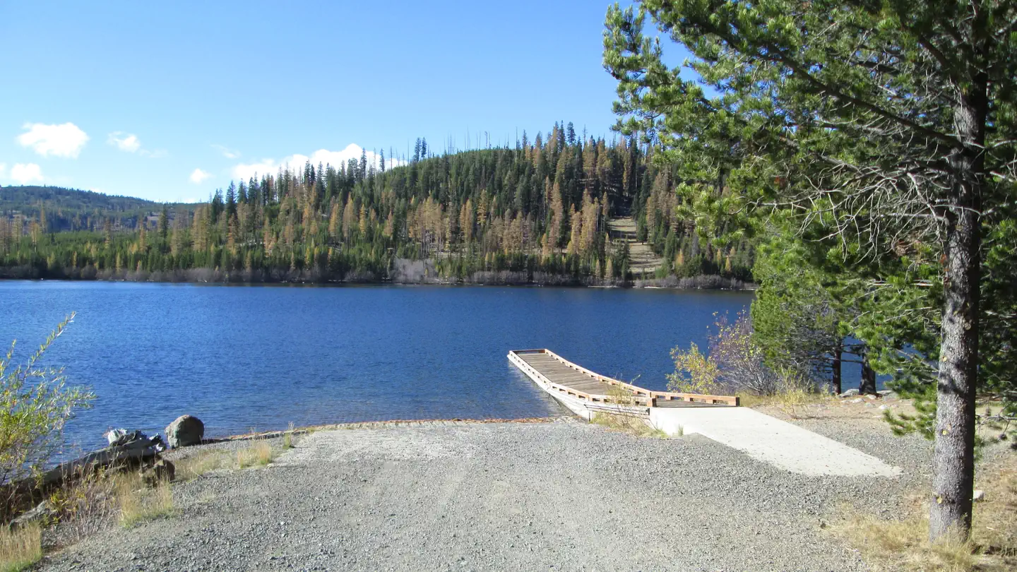
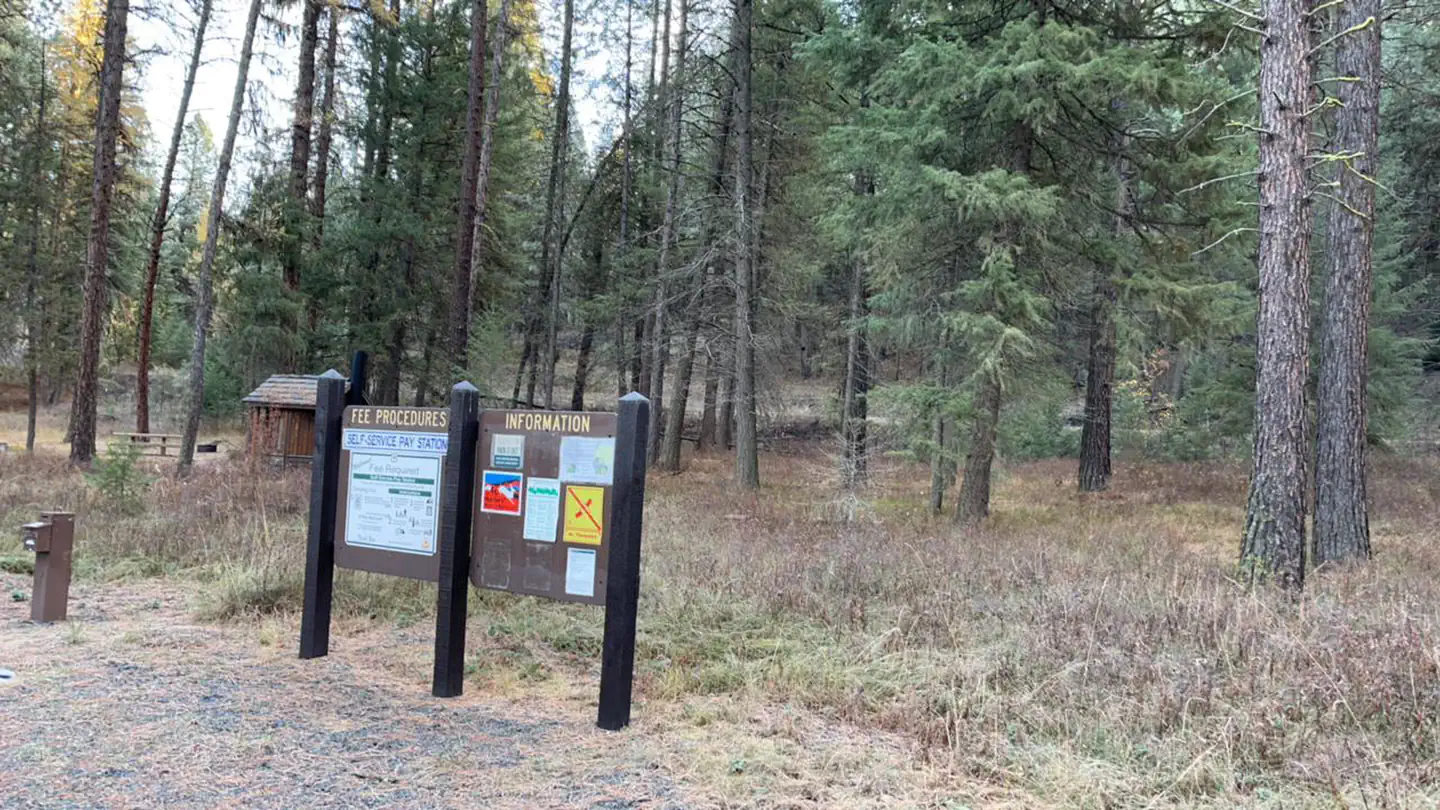
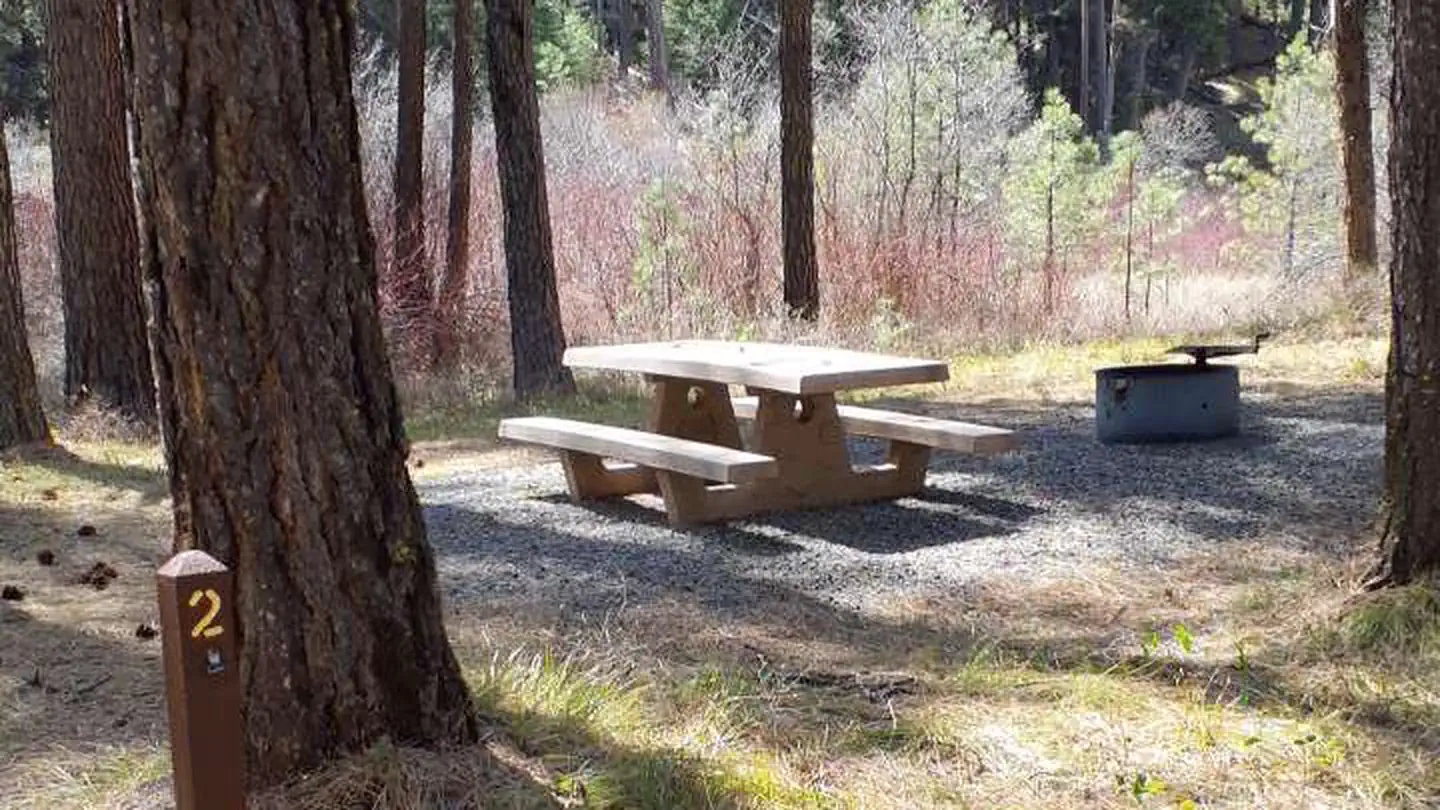
Cabin and lookout rentals nearby
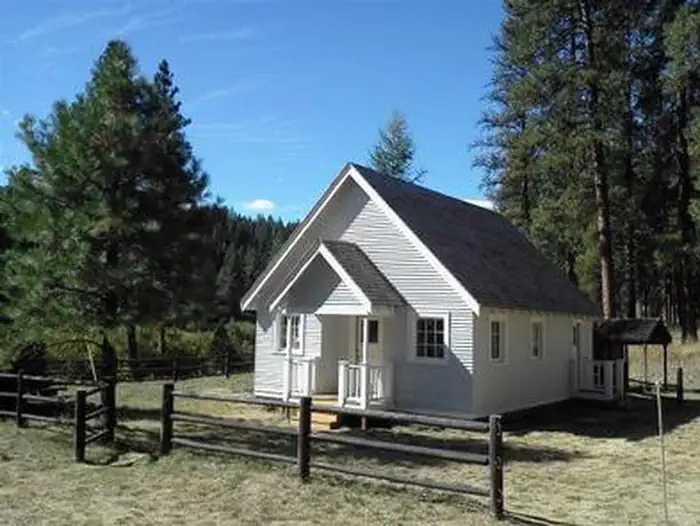
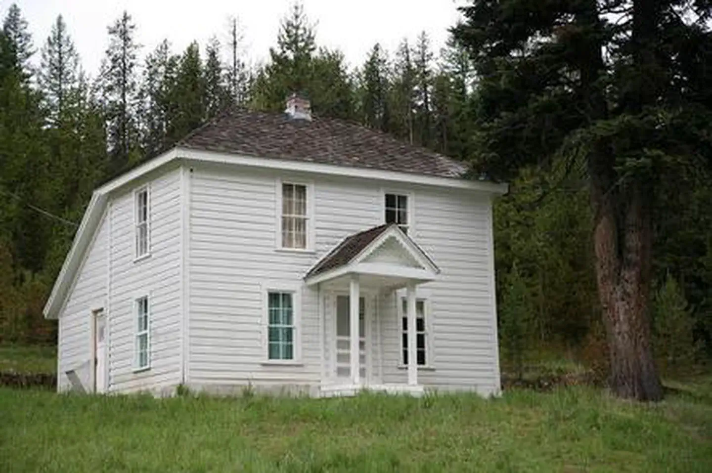
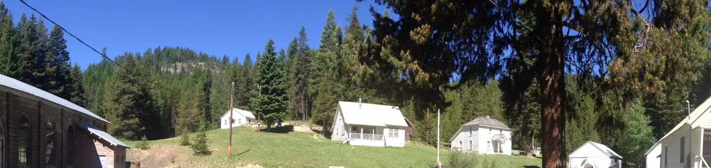
On the National Register nearby
- Fremont PowerhouseHistoric district · Granite · 10 mi
Guidebooks for Oregon
We earn a small commission if you buy through these links. It does not change what we list.
Titles come from Open Library's catalog, matched by subject heading or by title.
Reference
Questions people ask
How much does it cost to camp at Head O' Boulder Forest Camp?
Nothing. Head O' Boulder Forest Camp is listed as free. No fee
Source: Forest Service
Is Head O' Boulder Forest Camp open right now?
Open as of Oct 26, 2026.
Source: Forest Service status
Can I bring an RV to Head O' Boulder Forest Camp?
Head O' Boulder Forest Camp is listed for tents only.
Source: Forest Service
What if Head O' Boulder Forest Camp is full?
The nearest public campgrounds are Olive Lake Campground (5.2 mi, partly first-come), Lower Camp Creek Campground (7.8 mi), and Welch Creek Campground & Trailhead (9.4 mi, first-come).
Source: Campgrounds nearby