Yellowjacket Campground
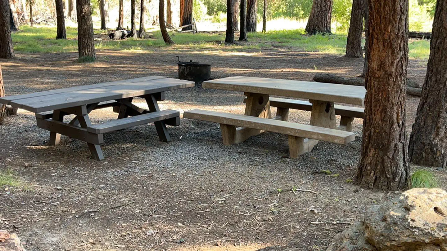
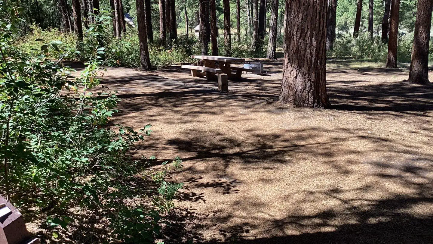
This campground sits on the quiet shores of Yellowjacket Lake. This beautiful and quiet location offers abundant birding and wildlife viewing opportunities with eagles, osprey and pronghorn antelope frequenting the area. The lake has a small sand beach and an easily accessible shoreline for fishing. This campground has a very nice covered group picnic area. Public should be aware warmer weather can bring blue-green algae blooms to lakes.
More like this: first-come in Oregon · tent only in Oregon

Amenities & rules
| Equipment | Tents |
| Fees | $10/Night for single unit, $5/Night for extra vehicle |
Individual sites vary. Confirm on Recreation.gov or with the managing office.
Season & status
| Status | Temporarily closed |
| Forest | Malheur National Forest |
| Fees | $10/Night for single unit, $5/Night for extra vehicle |
Weather by month
Getting there
| Coordinates | 43.8764° N, 119.2711° W · Directions ↗ |
Fire nearby
- WildfireSecond Flat
20 mi from the campground · 105,854 acres · 99% contained
- PrescribedStarr 33 Rx
20 mi from the campground · 347 acres
- PrescribedDamon 2A Rx
27 mi from the campground · 85 acres
- PrescribedJane 102 Rx
27 mi from the campground · 3,000 acres
Distance is to the reported incident point, not the fire edge. Call the managing office before you drive.
Supplies & services
| Dump station | Dump station ↗ | 38.4 mi |
Locations © OpenStreetMap contributors. Call ahead; hours change seasonally.
Explore
Trails nearby
- 0.7 miSnomo #53373.3 mi trail
- 2.6 miSnomo #5336 ↗17.2 mi trail
Trail and trailhead records are the Forest Service's. Distances are straight-line to the nearer trail end. Trail conditions are not tracked here.
Public land it sits in
Malheur National Forest begins about 12.1 miles away, and it is the closest of these.
- 12.1 miMalheur National Forest ↗National Forest · Forest Service · 1,787,138 acres
Each unit is published as a centre point and an acreage rather than a boundary, so this section stands it in for a circle of the same area. Whether a campground is inside, and how far it is from one it is outside, are both approximate.
Other campgrounds nearby
Cabin and lookout rentals nearby
Guidebooks for Oregon
We earn a small commission if you buy through these links. It does not change what we list.
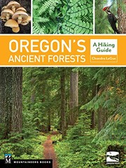
Titles come from Open Library's catalog, matched by subject heading or by title.
Reference
Questions people ask
How much does it cost to camp at Yellowjacket Campground?
$10/Night for single unit, $5/Night for extra vehicle
Source: Forest Service
Is Yellowjacket Campground open right now?
Temporarily closed as of Oct 26, 2026.
Source: Forest Service status
Can I bring an RV to Yellowjacket Campground?
Yellowjacket Campground is listed for tents only.
Source: Forest Service
What if Yellowjacket Campground is full?
The nearest public campgrounds are Falls Campground (7.1 mi), Emigrant Campground (7.4 mi, first-come), and Idlewild Campground (15 mi).
Source: Campgrounds nearby