Lost Man Campground
There are 10 campsites available. Trailhead access to Hunter-Fryingpan Wilderness is across the road. Two miles to the east is the ghost town of Independence, an early mining town. Lost Man Family Campground is situated directly across Independence Pass road from Lost Man Trailhead. The campsites are within a lodgepole pine forest at 10,500' above sea level. View Dates and Fees
More like this: first-come in Colorado · tent only in Colorado

Amenities & rules
| Equipment | Tents |
Individual sites vary. Confirm on Recreation.gov or with the managing office.
Season & status
| Forest | White River National Forest |
| Rules | Wilderness restrictions apply within Hunter-Frying Pan Wilderness Independence Pass is narrow, steep and winding. Absolutely no vehicles over 35 feet in length, or vehicle/trailer combinations over 35 feet in length, are permitted between MP 47.2 (Aspen side) and MP 84.2 (Leadville/Twin Lakes side, about one mile west of the junction with US 24). |
Weather by month
Getting there
| Coordinates | 39.1210° N, 106.6242° W · Directions ↗ |
Fire nearby
- WildfireWillow
13 mi from the campground · 7,359 acres · 92% contained
Distance is to the reported incident point, not the fire edge. Call the managing office before you drive.
Supplies & services
| Outdoor gear | Ute Mountaineer ↗ | 11.4 mi |
| Dump station | Dump station ↗ | 35.3 mi |
| RV sales & service | Holiday RV ↗ | 51.2 mi |
Locations © OpenStreetMap contributors. Call ahead; hours change seasonally.
Explore
Video
Lost Man Campground White River National Forest, CO
Worth a stop
- 4.8 miNorth Fork Lake Creek Trailhead ↗Trailhead
- 8.5 miSayer's Gulch Trailhead ↗Trailhead
- 11.9 miEmerald Lake Picnic Area ↗Day use
- 13.4 miMoache Fishing Site ↗Fishing site
- 14.2 miDeception Point Fishing Site ↗Fishing site
Trails nearby
- 0.1 miLost Man Loop ↗8.9 mi trail · hiking, horse
- 0.3 miMidway ↗8 mi trail · hiking, horse
- 1.3 miRoaring Fork Discovery0.2 mi trail · hiking, horse
- 1.3 miBraille0.1 mi trail · hiking
- 2 miLinkins Lake0.4 mi trail · hiking, horse
- 2.2 miTabor Creek3.9 mi trail · hiking, horse
Trailheads within three miles
- under 0.1 miLost Man #1996 ↗White River National Forest
- 1.3 miDiscovery Trailhead #1997/Braille Trailhead #1995 ↗White River National Forest
- 2.2 miTabor Creek #2185 ↗White River National Forest
- 2.3 miLinkins Lake TH #1979 ↗White River National Forest
Trail and trailhead records are the Forest Service's. Distances are straight-line to the nearer trail end. Trail conditions are not tracked here.
Public land it sits in
This campground sits inside Hunter-Fryingpan Wilderness, which overlaps White River National Forest.
- inHunter-Fryingpan Wilderness ↗Wilderness · Forest Service · 82,496 acres
- inWhite River National Forest ↗National Forest · Forest Service · 2,482,711 acres
- 3.3 miCollegiate Peaks Wilderness ↗Wilderness · Forest Service · 165,874 acres
Each unit is published as a centre point and an acreage rather than a boundary, so this section stands it in for a circle of the same area. Whether a campground is inside, and how far it is from one it is outside, are both approximate.
Other campgrounds nearby


Cabin and lookout rentals nearby
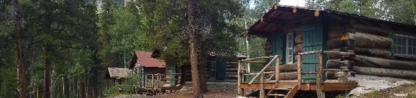
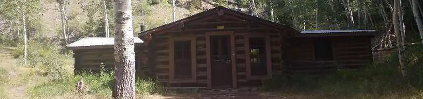
Historic landmarks nearby

Guidebooks for Colorado
We earn a small commission if you buy through these links. It does not change what we list.
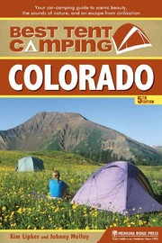
Titles come from Open Library's catalog, matched by subject heading or by title.
Reference
Questions people ask
Do I need a reservation at Lost Man Campground?
No. Lost Man Campground is first-come, first-served. Sites are taken on arrival and paid at the fee station.
Source: Forest Service
How many sites does Lost Man Campground have?
10 sites.
Source: Forest Service
Can I bring an RV to Lost Man Campground?
Lost Man Campground is listed for tents only.
Source: Forest Service
What if Lost Man Campground is full?
The nearest public campgrounds are Portal Campground (3.2 mi, first-come), Lincoln Gulch Campground (3.8 mi, first-come), and Lincoln Creek Dispersed Campground (3.8 mi, first-come).
Source: Campgrounds nearby