Marion Forks Campground and Day Use Area
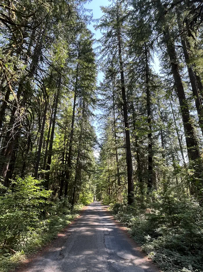
Adjacent to the Marion Forks Fish Hatchery, Marion Forks Campground is a great 15 site (one pull through) campground tucked away from Highway 22 and a quiet place to relax. Enjoy a 1/4 mile leisurely stroll along Marion Creek on a paved loop path through the picnic area and fish hatchery and learn about spring Chinook salmon and the history of the area. Nearby, on Forest Service Road 2255, you can find the little used trail (#3431) to Independence Rock for a short hike. If you drive further up to the end of Road 2255, you'll reach the trailhead to Marion Lake (Trail #3436) leading to the Mt. Jefferson Wilderness.
More like this: first-come in Oregon · tent only in Oregon

Amenities & rules
| Equipment | Tents |
| Fees | Single Campsites - $21 per night. Multiple Campsites - $40 per night. Extra Vehicles - $7 per vehicle, per night. Download the Recreation.gov mobile app prior to your trip so you can pay the overnight fee digitally onsite with Scan and Pay. |
Individual sites vary. Confirm on Recreation.gov or with the managing office.
Season & status
| Status | Open |
| Season | Year Round, weather dependent |
| Forest | Willamette National Forest |
| Booking | No advance reservations. |
| Fees | Single Campsites - $21 per night. Multiple Campsites - $40 per night. Extra Vehicles - $7 per vehicle, per night. Download the Recreation.gov mobile app prior to your trip so you can pay the overnight fee digitally onsite with Scan and Pay. |
| Rules | Camping is not allowed more than 14 days in a 60 day period. Check-in time: 2:00 pm or later. Check-out time: 1:00 pm. Use of chainsaws in the campground is prohibited. Dogs MUST be on leash at all times within the campground |
Weather by month
Getting there
| Coordinates | 44.6115° N, 121.9475° W · Directions ↗ |
Fire nearby
- PrescribedTriple Butte Rx
22 mi from the campground
- PrescribedMuddy Run Rx
26 mi from the campground · 152 acres
- WildfireBench
29 mi from the campground · 67,071 acres · 90% contained
- WildfireAustin
29 mi from the campground · 12,888 acres · 98% contained
Distance is to the reported incident point, not the fire edge. Call the managing office before you drive.
Supplies & services
| Outdoor gear | Timber Town Resale ↗ | 25.1 mi |
| Dump station | Dump station ↗ | 34.4 mi |
| RV sales & service | Big Country RV ↗ | 45 mi |
Locations © OpenStreetMap contributors. Call ahead; hours change seasonally.
Explore
Worth a stop
- 8.4 miRiggs Lake Trailhead ↗Trailhead
- 10.9 miCabot Lake Trailhead ↗Trailhead
- 13.4 miUpper Arm Day Use Area ↗Day use
Trails nearby
- 0.1 miIndependence Rock1.5 mi trail · hiking, horse, bike
- 0.4 miIndependence Rock Summit0.09 mi trail · hiking
- 1.6 miBugaboo Ridge3.1 mi trail · hiking, horse
- 1.9 miBingham Ridge4.2 mi trail · hiking, horse
- 2.8 miMinto Mountain1.2 mi trail · hiking, horse
- 3.1 miBruno Meadows1.5 mi trail · hiking, horse, bike
Trailheads within three miles
- 1.7 miBugaboo Ridge Trailhead ↗Willamette National Forest
- 1.9 miBingham Ridge Trailhead ↗Willamette National Forest
- 2.9 miMinto Mountain Trailhead ↗Willamette National Forest
Trail and trailhead records are the Forest Service's. Distances are straight-line to the nearer trail end. Trail conditions are not tracked here.
Public land it sits in
This campground sits inside Mount Jefferson Wilderness.
- inMount Jefferson Wilderness ↗Wilderness · Forest Service · 109,098 acres
- 6.4 miWillamette National Forest ↗National Forest · Forest Service · 1,801,292 acres
- 12.5 miMiddle Santiam Wilderness ↗Wilderness · Forest Service · 8,758 acres
Each unit is published as a centre point and an acreage rather than a boundary, so this section stands it in for a circle of the same area. Whether a campground is inside, and how far it is from one it is outside, are both approximate.
Other campgrounds nearby



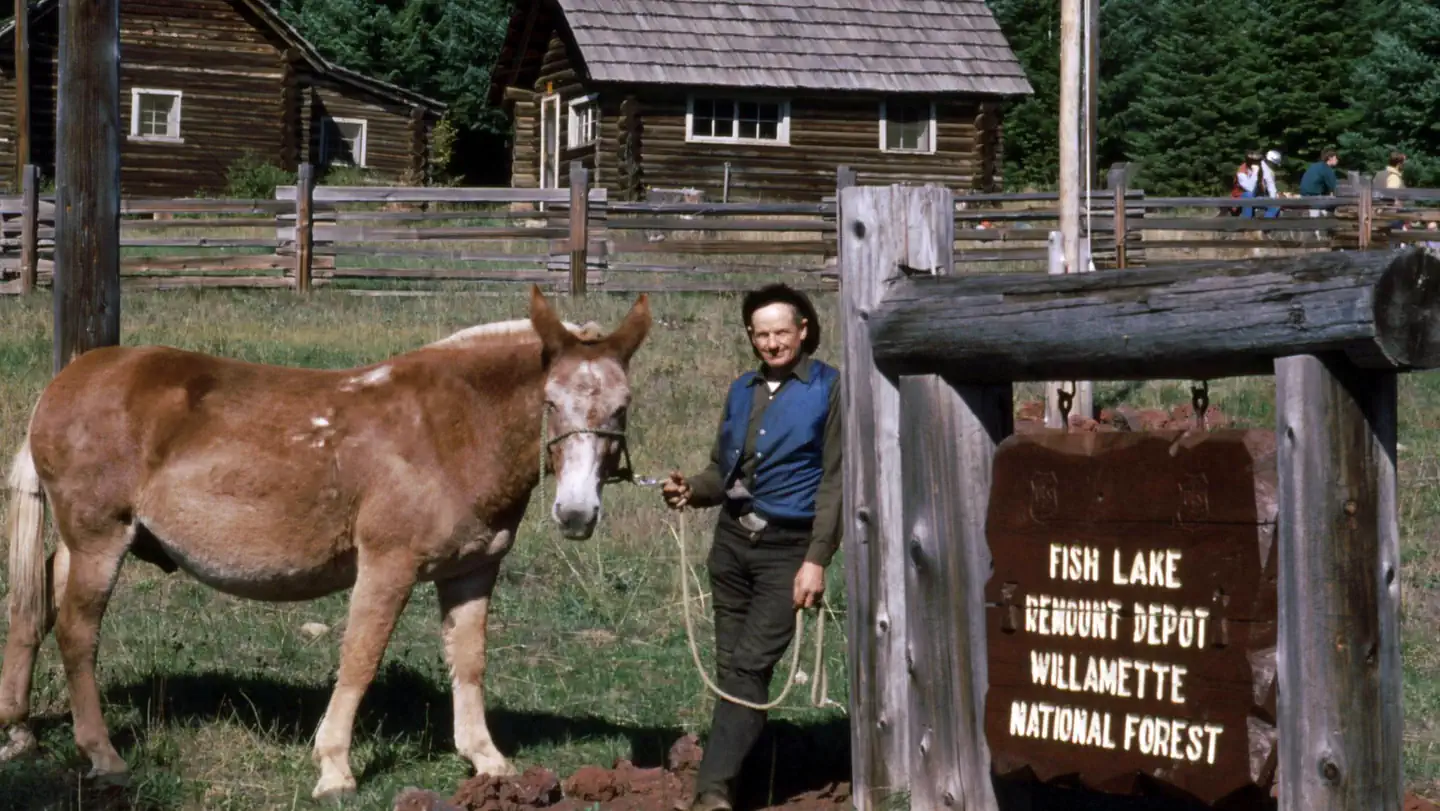
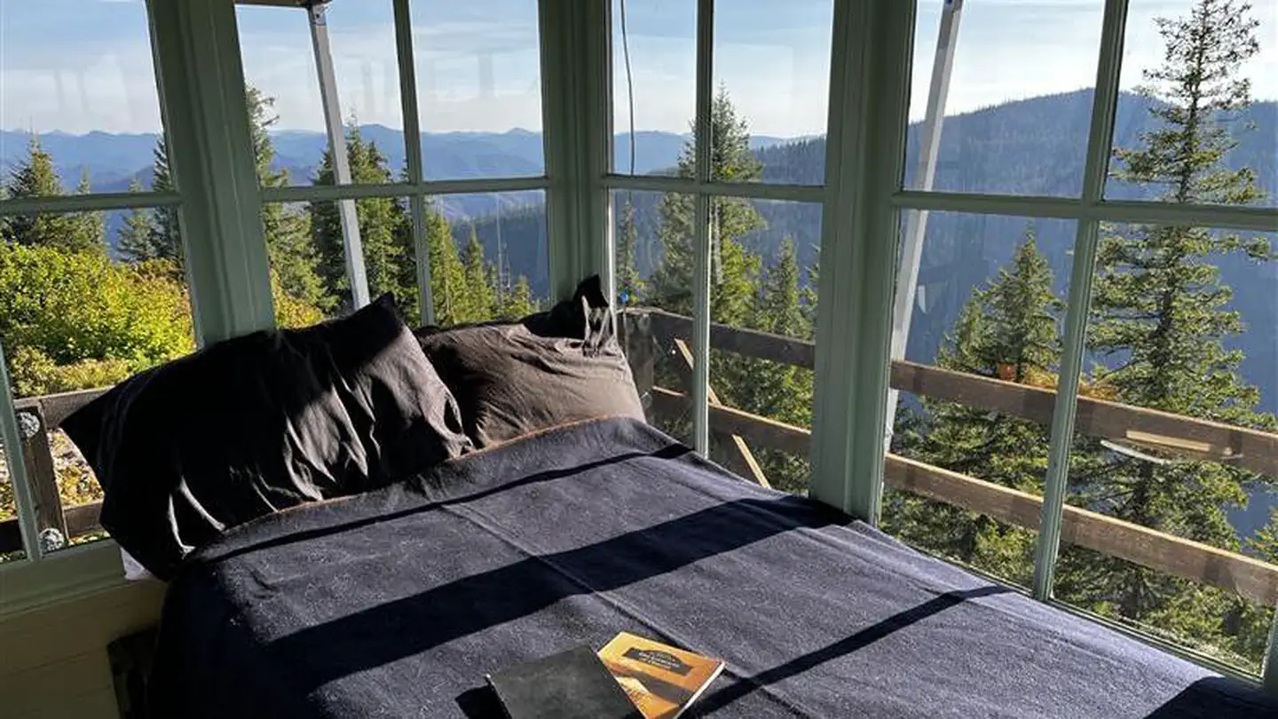
Cabin and lookout rentals nearby
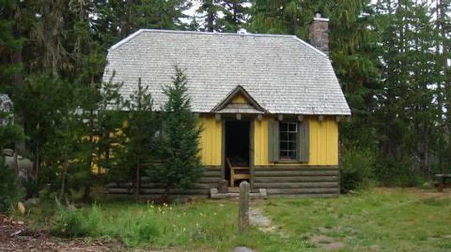
On the National Register nearby
- Marion Forks Guard StationBuilding · Marion Forks · 0.2 mi
- Independence Prairie Ranger StationBuilding · Marion Forks · 0.5 mi
- Oregon Pacific Railroad Linear Historic DistrictHistoric district · Santiam Junction · 11.2 mi
Guidebooks for Oregon
We earn a small commission if you buy through these links. It does not change what we list.
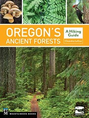
Titles come from Open Library's catalog, matched by subject heading or by title.
Reference
Questions people ask
Do I need a reservation at Marion Forks Campground and Day Use Area?
No. Marion Forks Campground and Day Use Area is first-come, first-served. No advance reservations. Sites are taken on arrival and paid at the fee station.
Source: Forest Service
How much does it cost to camp at Marion Forks Campground and Day Use Area?
Single Campsites - $21 per night. Multiple Campsites - $40 per night. Extra Vehicles - $7 per vehicle, per night.
Source: Forest Service
Is Marion Forks Campground and Day Use Area open right now?
Open as of Oct 26, 2026. Season Year Round, weather dependent.
Source: Forest Service status
Can I bring an RV to Marion Forks Campground and Day Use Area?
Marion Forks Campground and Day Use Area is listed for tents only.
Source: Forest Service
What if Marion Forks Campground and Day Use Area is full?
The nearest public campgrounds are Riverside At Detroit (2.1 mi, partly first-come), Whispering Falls Campground (6.1 mi, partly first-come), and Big Meadows Horse Camp (8.4 mi, partly first-come).
Source: Campgrounds nearby