Upper Blue Campground
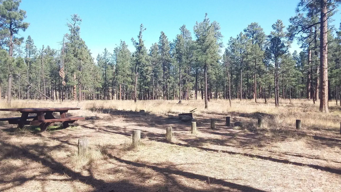
A rustic camping experience in a beautiful setting off the beaten path, Upper Blue Campground is located below the high bluffs and near streamside within the Blue River Valley. 3 campsites. 2 sites with Adirondack-style shelters. 14 day stay limit
More like this: first-come in Arizona · free in Arizona · tent only in Arizona

Amenities & rules
| Equipment | Tents |
| Fees | There is no fee to camp at Upper Blue Campground. |
Individual sites vary. Confirm on Recreation.gov or with the managing office.
Season & status
| Status | Open |
| Forest | Apache-Sitgreaves National Forest |
| Fees | There is no fee to camp at Upper Blue Campground. |
| Rules | Pack It In - Pack It Out - no garbage service provided Quiet hours after 10:00 pm 14-days stay limit |
Weather by month
Getting there
| Coordinates | 33.6926° N, 109.0712° W · Directions ↗ |
Fire nearby
- PrescribedD6 - Luna Rx
9 mi from the campground · 2,156 acres
- PrescribedD6 - Heifer Rx
15 mi from the campground · 3,116 acres
- PrescribedD6 Wallow West Unit 6 Rx
22 mi from the campground · 7,605 acres
- PrescribedD3 Hagen Rx
25 mi from the campground · 5,757 acres
Distance is to the reported incident point, not the fire edge. Call the managing office before you drive.
Supplies & services
| Dump station | Dump station ↗ | 23.2 mi |
Locations © OpenStreetMap contributors. Call ahead; hours change seasonally.
Explore
Worth a stop
- 4 miFlying T #21 Trailhead ↗Trailhead
- 4.7 miHinkle Park #36 Trailhead ↗Trailhead
- 9.4 miLuna Lake Day Use Area ↗Day use
- 9.4 miLuna Lake Marina - Boats, Bait, And Beyond ↗Boat launch
Trails nearby
- 2 miFrieborn Canyon ↗5.1 mi trail · hiking, horse, bike
- 2.7 miFrieborn Access0.7 mi trail · hiking, horse, bike
- 3.2 miMother Hubbard1 mi trail · hiking, horse, bike, motorcycle and 1 more
- 3.8 miDry Blue Trail ↗4.8 mi trail · hiking, horse, bike, motorcycle and 2 more
- 4 miFlying T Spring ↗7.6 mi trail · hiking, horse, bike
- 4.2 miColyer Spring0.3 mi trail · hiking, horse, bike
Trail and trailhead records are the Forest Service's. Distances are straight-line to the nearer trail end. Trail conditions are not tracked here.
Public land it sits in
This campground sits inside Apache-Sitgreaves National Forests.
- inApache-Sitgreaves National Forests ↗National Forest · Forest Service · 2,110,688 acres
- 1.4 miGila National Forest ↗National Forest · Forest Service · 3,389,394 acres
- 6.5 miBlue Range Wilderness ↗Wilderness · Forest Service · 29,106 acres
Each unit is published as a centre point and an acreage rather than a boundary, so this section stands it in for a circle of the same area. Whether a campground is inside, and how far it is from one it is outside, are both approximate.
Other campgrounds nearby


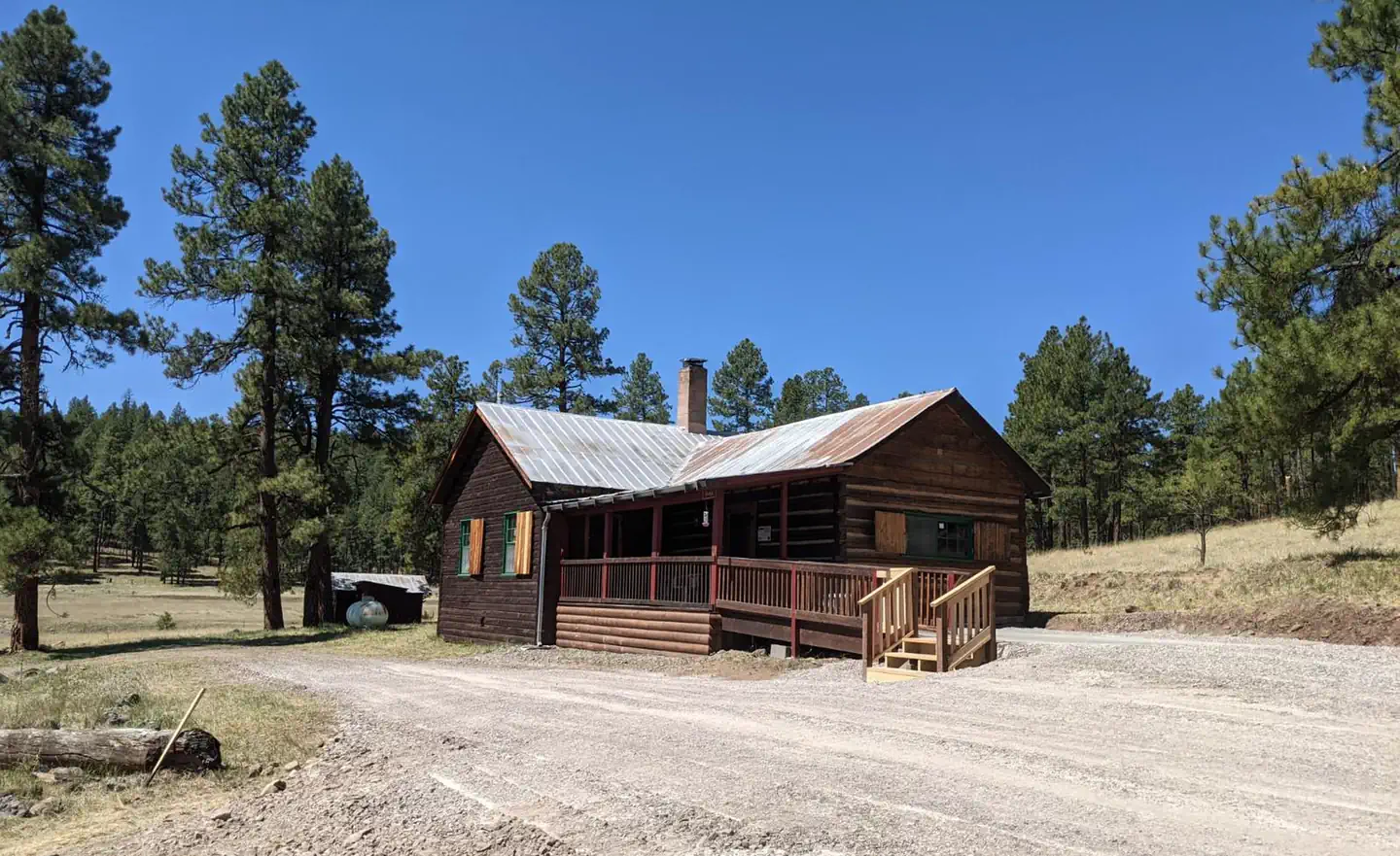
Cabin and lookout rentals nearby
On the National Register nearby
- Alpine Elementary SchoolBuilding · Alpine · 11.4 mi
- Bear Mountain Lookout ComplexStructure · Mogollon Rim · 11.8 mi
Guidebooks for Arizona
We earn a small commission if you buy through these links. It does not change what we list.
- Best Backpacking Trips in Utah, Arizona, and New MexicoMike White and Douglas Lorain, 2016Find at Bookshop.org
Titles come from Open Library's catalog, matched by subject heading or by title.
Reference
Questions people ask
How much does it cost to camp at Upper Blue Campground?
Nothing. Upper Blue Campground is listed as free. There is no fee to camp at Upper Blue Campground.
Source: Forest Service
Is Upper Blue Campground open right now?
Open as of Oct 26, 2026.
Source: Forest Service status
How many sites does Upper Blue Campground have?
3 sites.
Source: Forest Service
Can I bring an RV to Upper Blue Campground?
Upper Blue Campground is listed for tents only.
Source: Forest Service
What if Upper Blue Campground is full?
The nearest public campgrounds are Blue Crossing Campground (4.6 mi, first-come), Pueblo Park Campground (9.3 mi, first-come), and Head of the Ditch Campground (9.9 mi, first-come).
Source: Campgrounds nearby