Wine Spring Horse Camp
Wine Spring Horse Camp is a primitive camping area with 6 designated camping sites. Each site provides a picnic table, fire ring and tethering area for horses. The camp area is gated with a combination lock. The Wine Spring Trail System has 15 miles of horse trails, including Wine Spring Trail #379A and Rocky Bald Trail #379B loops. Each loop is 7.5 miles long. The Wine Spring Loop crosses Goat Bald at 4800 feet elevation. Goat Bald is a large wildlife opening that offers a spectacular view to the west of the Great Smoky Mountains and the Chilhowee Mountains in Tennessee. Some sections of the trails are located on Forest Service Roads and may have periodic administrative and logging traffic.
More like this: reservable in North Carolina · tent only in North Carolina

Amenities & rules
| Equipment | Tents |
| Fees | $10 a night per site. |
Individual sites vary. Confirm on Recreation.gov or with the managing office.
Season & status
| Status | Temporarily closed |
| Season | Year Round |
| Forest | National Forests in North Carolina |
| Booking | Reservations through the Nantahala District Office are required. Nantahala District Office: 828-524-6441x410 |
| Fees | $10 a night per site. |
| Rules | Do not tether horse to trees or allow horses to damage bark of trees. Fires are permitted in designated fire rings only. Please pack in and pack out. |
Weather by month
Getting there
| Coordinates | 35.1772° N, 83.6140° W · Directions ↗ |
Fire nearby
- PrescribedRx Bird Dog
33 mi from the campground · 34 acres
- PrescribedRx - Buck Branch
36 mi from the campground · 652 acres
- PrescribedRx - Rymer Camp
47 mi from the campground · 381 acres
Distance is to the reported incident point, not the fire edge. Call the managing office before you drive.
Supplies & services
| Outdoor gear | Carolina Outfitters ↗ | 10.6 mi |
| RV sales & service | Blairsville RV Sales ↗ | 23.5 mi |
| Dump station | Dump station ↗ | 29.9 mi |
Locations © OpenStreetMap contributors. Call ahead; hours change seasonally.
Explore
Worth a stop
- 1.3 miDirty John Shooting Range ↗OHV / range
- 14.5 miJackrabbit Mountain Beach ↗Swimming
Trails nearby
- 0.1 miWine Springs Loop ↗8.9 mi trail · hiking, horse, bike
- 1.5 miRocky Bald Loop ↗6.3 mi trail · hiking, horse, bike
- 1.9 miWilson Lick0.1 mi trail · hiking, horse, bike
- 3.2 miSiler Bald Vista0.2 mi trail · hiking, horse, bike
- 3.2 miSiler Bald Shelter1.1 mi trail · hiking, horse, bike
- 4.1 miNature Walk0.3 mi trail · hiking, horse, bike
Trail and trailhead records are the Forest Service's. Distances are straight-line to the nearer trail end. Trail conditions are not tracked here.
Public land it sits in
This campground sits inside National Forests in North Carolina.
- inNational Forests in North Carolina ↗National Forest · Forest Service · 3,026,237 acres
- 9.5 miSouthern Nantahala Wilderness ↗Wilderness · Forest Service · 23,364 acres
- 13.3 miChattahoochee-Oconee National Forests ↗National Forest · Forest Service · 1,796,317 acres
Each unit is published as a centre point and an acreage rather than a boundary, so this section stands it in for a circle of the same area. Whether a campground is inside, and how far it is from one it is outside, are both approximate.
Other campgrounds nearby


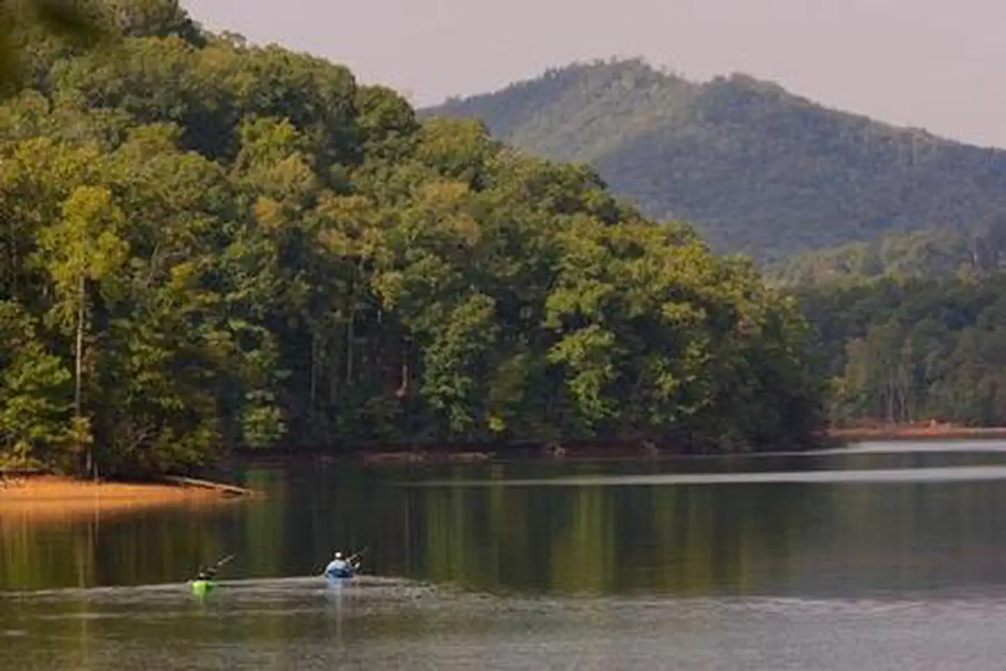
Cabin and lookout rentals nearby
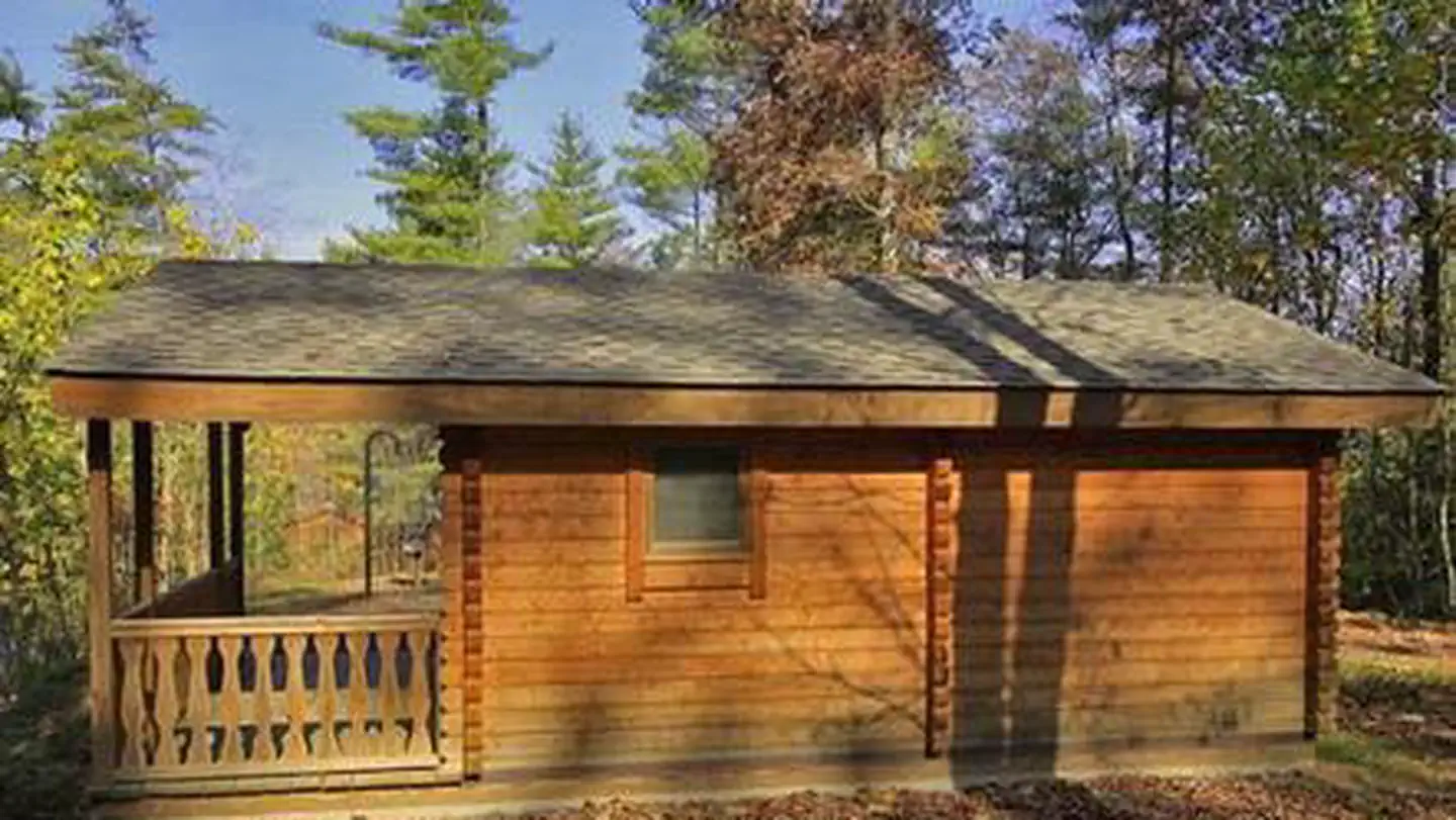
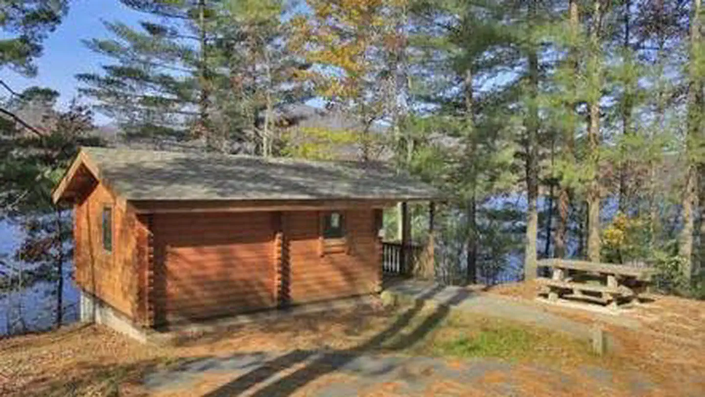
On the National Register nearby
- Glen Choga LodgeBuilding · Aquone · 3.9 mi
- Charles Noden George HouseBuilding · Topton · 8.8 mi
- Walker's InnBuilding · Andrews · 10.8 mi
Guidebooks for North Carolina
We earn a small commission if you buy through these links. It does not change what we list.
- Great Day Hikes on North Carolina's Mountains-To-Sea TrailFriends of the Mountains-to-Sea Trail and Jim Grode, 2020Find at Bookshop.org
Titles come from Open Library's catalog, matched by subject heading or by title.
Reference
Questions people ask
Do I need a reservation at Wine Spring Horse Camp?
Sites at Wine Spring Horse Camp take reservations. Reservations through the Nantahala District Office are required. Any walk-up sites are listed on the booking page.
Source: Forest Service
How much does it cost to camp at Wine Spring Horse Camp?
$10 a night per site.
Source: Forest Service
Is Wine Spring Horse Camp open right now?
Temporarily closed as of Oct 26, 2026. Season Year Round.
Source: Forest Service status
Can I bring an RV to Wine Spring Horse Camp?
Wine Spring Horse Camp is listed for tents only.
Source: Forest Service
What if Wine Spring Horse Camp is full?
The nearest public campgrounds are Appletree Group Campground (4.2 mi), Standing Indian Campground (8.2 mi, partly first-come), and Kimsey Creek Group Campground (8.7 mi).
Source: Campgrounds nearby