Shady Pines Campground
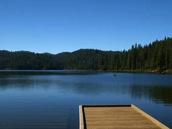
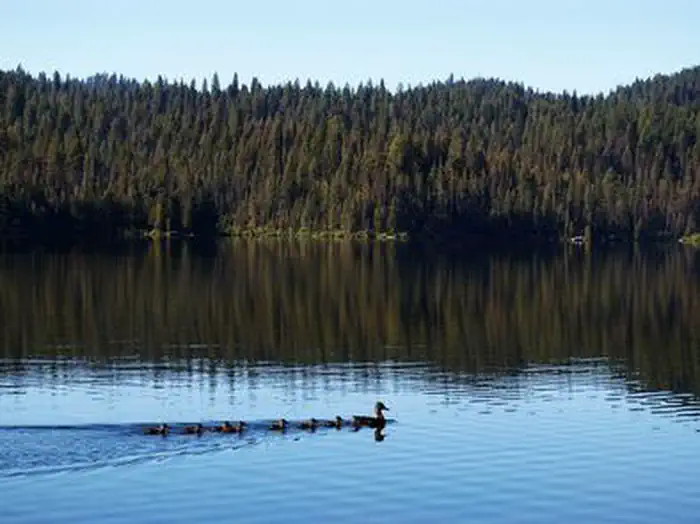
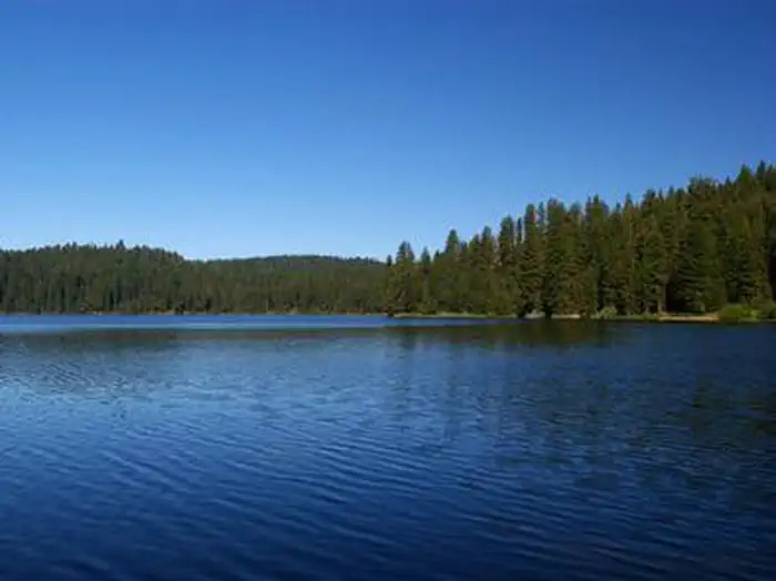
Shady Pines Campground are both located on the shores of the scenic Sage Hen Reservoir in the Boise National Forest, perched at an elevation of 4,800 feet. Visitors enjoy boating, fishing and exploring the Sage Hen Reservoir Trail. The 5 Sage Hen campgrounds are a beautiful, scenic destination for recreation and adventure. Natural Features. The campgrounds are situated in a forest of towering Ponderosa pine, Engelmann spruce, Douglas fir and grand fir. Most sites have plentiful shade and some have partial lake views. Summer temperatures range from 80-90 degrees during the day to crisp, cool nights. A variety of berries and mushrooms can be found throughout the area.
Some sites take reservations on Recreation.gov. Others are first-come, first-served.
More like this: first-come in Idaho · reservable in Idaho · tent only in Idaho
Check availability on Recreation.gov ↗
Amenities & rules
| Equipment | Tents |
Individual sites vary. Confirm on Recreation.gov or with the managing office.
Season & status
| Season | Mid-May to End of September |
| Forest | Boise National Forest |
| Booking | This is a fee campground with 20 sites and 1 group site. Reservations can be made www.recreation.gov or by calling 1-877-444-6777. |
Weather by month
Getting there
| Coordinates | 44.3364° N, 116.1888° W · Directions ↗ |
Fire nearby
- PrescribedRx High Valley
5 mi from the campground
- PrescribedRx Fawn Tussock
10 mi from the campground · 86 acres
- PrescribedMill Creek Council Mtn Rx
34 mi from the campground · 2,070 acres
- PrescribedRx Lowman Wui
40 mi from the campground · 63 acres
Distance is to the reported incident point, not the fire edge. Call the managing office before you drive.
Supplies & services
| Outdoor gear | Outdoor gear ↗ | 45.5 mi |
| RV sales & service | Nelson's RV's ↗ | 48.2 mi |
Locations © OpenStreetMap contributors. Call ahead; hours change seasonally.
No site-by-site records, no fee schedule, no directions or photos in the Recreation.gov record. What is here comes from the agency's own listing. The rest lives there.
Checked nightly. Modules appear as soon as the record fills in.
Explore
Worth a stop
- 0.2 miAntelope Boat Ramp ↗Boat launch
- 0.5 miSage Hen Creek Boat Ramp ↗Boat launch
- 0.8 miSage Hen Nature Trail Trailhead ↗Trailhead
- 2.2 miWest Mountain (South) Trailhead ↗Trailhead
Trails nearby
- 0.1 miSagehen Annex0.5 mi trail · hiking, horse, bike
- 0.2 miSagehen C2.4 mi trail · hiking, horse, bike, motorcycle and 2 more
- 0.4 miSagehen A3.7 mi trail · hiking, horse, bike, motorcycle and 2 more
- 0.8 miSagehen Nature Trail0.6 mi trail · hiking, horse, bike
- 0.8 miSagehen D1 mi trail · hiking, horse, bike, motorcycle and 2 more
- 0.9 miSagehen Reservoir4.3 mi trail · hiking, horse, bike
Trailheads within three miles
- 0.8 miSage Hen Nature Trail Trailhead ↗Boise National Forest
- 2.2 miWest Mountain (South) Trailhead ↗Boise National Forest
- 2.3 miJoe's Creek Trailhead ↗Boise National Forest
- 2.3 miRenwyck Creek Trailhead ↗Boise National Forest
Trail and trailhead records are the Forest Service's. Distances are straight-line to the nearer trail end. Trail conditions are not tracked here.
Public land it sits in
This campground sits inside Boise National Forest.
- inBoise National Forest ↗National Forest · Forest Service · 2,526,862 acres
Each unit is published as a centre point and an acreage rather than a boundary, so this section stands it in for a circle of the same area. Whether a campground is inside, and how far it is from one it is outside, are both approximate.
Other campgrounds nearby
Cabin and lookout rentals nearby
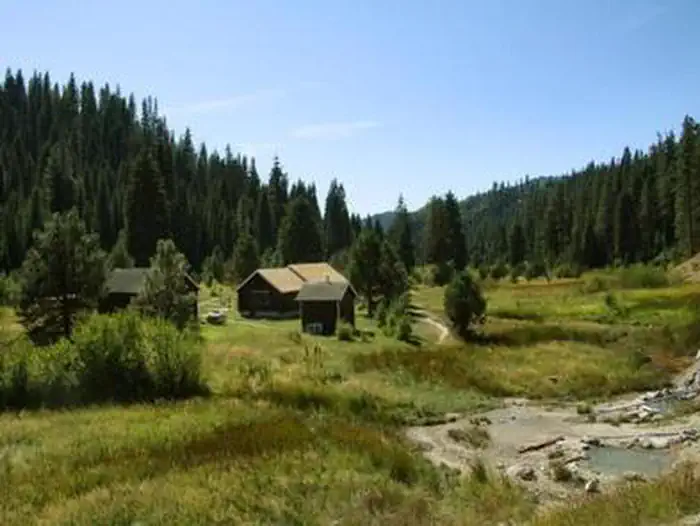
On the National Register nearby
- Southern Idaho Timber Protective Association (Sitpa) BuildingsHistoric district · Smiths Ferry · 5.5 mi
- North Fork Payette River BridgeStructure · Smiths Ferry · 6.4 mi
- Ola SchoolBuilding · Ola · 12.1 mi
Guidebooks for Idaho
We earn a small commission if you buy through these links. It does not change what we list.
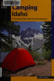
Titles come from Open Library's catalog, matched by subject heading or by title.
Reference
Questions people ask
Do I need a reservation at Shady Pines Campground?
For some sites. Some sites take reservations on Recreation.gov. Others are first-come, first-served.
Source: Recreation.gov
Can I bring an RV to Shady Pines Campground?
Shady Pines Campground is listed for tents only.
Source: Recreation.gov
What if Shady Pines Campground is full?
The nearest public campgrounds are Antelope (0.2 mi), Cartwright Ridge Campground (0.2 mi, first-come), and Sagehen Creek (0.6 mi).
Source: Campgrounds nearby