Tie Creek Campground
Tie Creek Campground is one of 5 campgrounds that lie along the Middle Fork of the Payette River, north of Garden Valley. Natural Features. The campground is situated on the banks of the Middle Fork Payette River among Douglas fir and lodgepole pine trees, which offer partial shade. A few sites offer river views through the dense vegetation on the banks. A variety of wildlife makes its home in the Middle Fork drainage, including deer, elk and red-tailed hawks. Recreation. The Middle Fork Payette River offers good to excellent fishing most of the year. Anglers cast for whitefish and rainbow trout. Many trails for hiking, mountain biking, horseback and ATV riding can be found in the area.
More like this: first-come in Idaho · tent only in Idaho

Amenities & rules
| Equipment | Tents |
Individual sites vary. Confirm on Recreation.gov or with the managing office.
Season & status
| Season | Beginning of May to End of September |
| Forest | Boise National Forest |
| Booking | No reservations are necessary. This is a very popular area, please don't expect a site to be open. This is a fee campground. |
Weather by month
Getting there
| Coordinates | 44.2083° N, 115.9258° W · Directions ↗ |
Fire nearby
- PrescribedRx High Valley
12 mi from the campground
- PrescribedRx Fawn Tussock
18 mi from the campground · 86 acres
- PrescribedRx Lowman Wui
24 mi from the campground · 63 acres
- PrescribedRx Mores South
28 mi from the campground · 245 acres
Distance is to the reported incident point, not the fire edge. Call the managing office before you drive.
Supplies & services
| Outdoor gear | Outdoor gear ↗ | 41.1 mi |
| RV sales & service | Nelson's RV's ↗ | 42.7 mi |
Locations © OpenStreetMap contributors. Call ahead; hours change seasonally.
No site-by-site records, no fee schedule, no directions or photos in the Recreation.gov record. What is here comes from the agency's own listing. The rest lives there.
Checked nightly. Modules appear as soon as the record fills in.
Explore
Worth a stop
- 7.7 miRattlesnake Trailhead ↗Trailhead
- 9.7 miEast Mountain Way Trailhead ↗Trailhead
- 12.7 mi
Trails nearby
- 1.5 miLightning Creek0.3 mi trail · hiking, horse, bike, motorcycle and 2 more
- 1.6 miLightning Ridge ↗14.5 mi trail · hiking, horse, bike, motorcycle and 1 more
- 1.7 miBear Wallow ↗6.6 mi trail · hiking, horse, bike, motorcycle and 2 more
- 2.1 miOne-Spoon2.9 mi trail · hiking, horse, bike, motorcycle and 1 more
- 3.4 miMain Scriver Loop4 mi trail · hiking, horse, bike, motorcycle and 2 more
- 4.3 miUpper Sixmile2.7 mi trail · hiking, horse, bike, motorcycle and 2 more
Trail and trailhead records are the Forest Service's. Distances are straight-line to the nearer trail end. Trail conditions are not tracked here.
Public land it sits in
This campground sits inside Boise National Forest.
- inBoise National Forest ↗National Forest · Forest Service · 2,526,862 acres
Each unit is published as a centre point and an acreage rather than a boundary, so this section stands it in for a circle of the same area. Whether a campground is inside, and how far it is from one it is outside, are both approximate.
Other campgrounds nearby
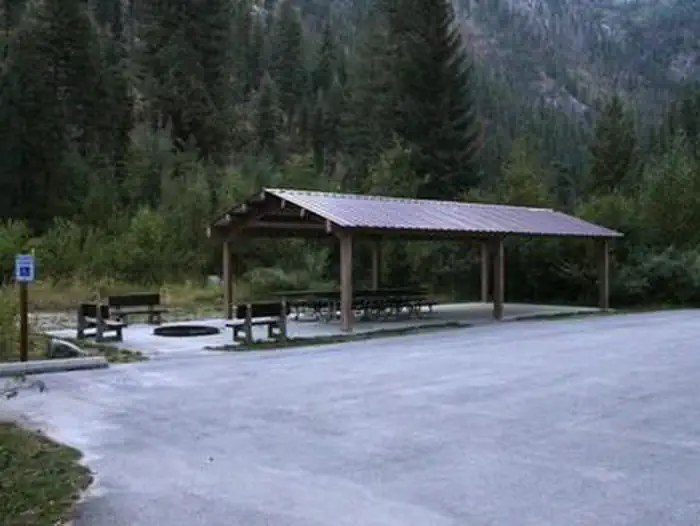
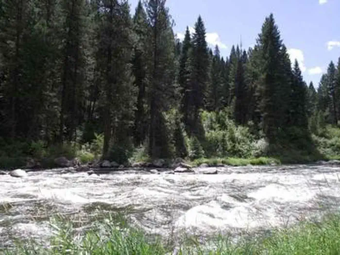
Cabin and lookout rentals nearby
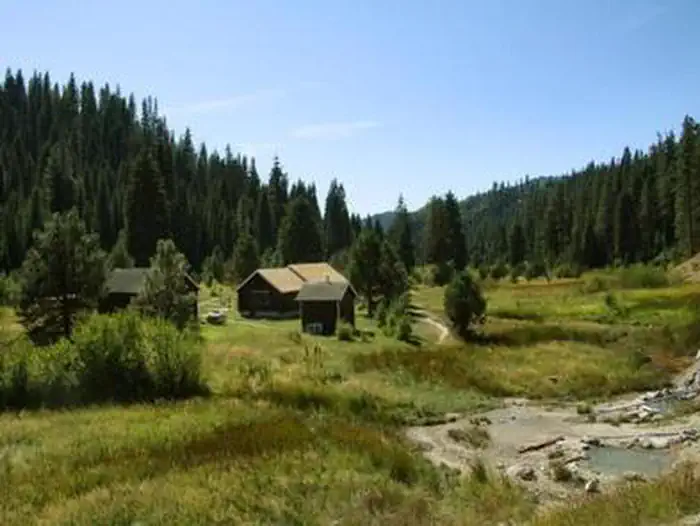
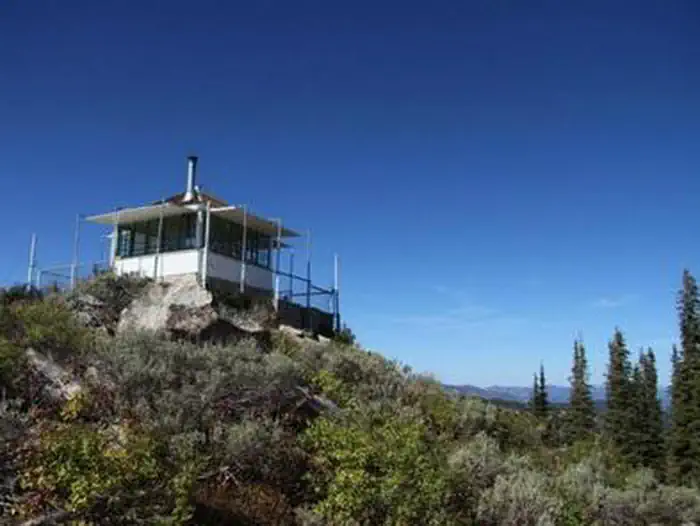
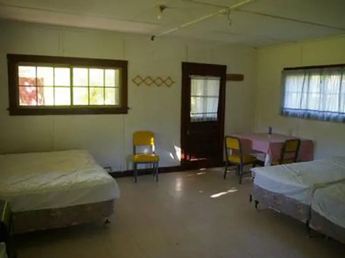
On the National Register nearby
- Southern Idaho Timber Protective Association (Sitpa) BuildingsHistoric district · Smiths Ferry · 10.3 mi
- North Fork Payette River BridgeStructure · Smiths Ferry · 10.4 mi
Guidebooks for Idaho
We earn a small commission if you buy through these links. It does not change what we list.
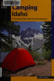
Titles come from Open Library's catalog, matched by subject heading or by title.
Reference
Questions people ask
Do I need a reservation at Tie Creek Campground?
No. Tie Creek Campground is first-come, first-served. No reservations are necessary. Sites are taken on arrival and paid at the fee station.
Source: Forest Service
Can I bring an RV to Tie Creek Campground?
Tie Creek Campground is listed for tents only.
Source: Forest Service
What if Tie Creek Campground is full?
The nearest public campgrounds are Hardscrabble Campground (2.5 mi, first-come), Rattlesnake (4.6 mi), and Big Eddy Campground (9 mi, first-come).
Source: Campgrounds nearby