Forest Creek Campground
Located on Forest Creek. Just follow Forest Road 4885 south about 2.5 miles to the White River. To the east you can ride up to Boulder Point and get a look around; to the west you reach the White River. The campground itself is located on the historic Barlow Road (Forest Road 3530). Although many pioneers passed by this site, few actually camped here. They did water their stock and themselves in the creek and possibly stopped here briefly on the last leg of their long journey to the fertile valleys west of the Cascades.
More like this: first-come in Oregon · tent only in Oregon

Amenities & rules
| Equipment | Tents |
| Fees | This site is operated by a concessionaire, Alaska Recreational Management. Camping: $16/night for single site, $8/night for extra vehicle. Day use: $10/day/vehicle |
Individual sites vary. Confirm on Recreation.gov or with the managing office.
Season & status
| Status | Closed for the season. Forest Service sites close for the season; check the official page for the reopening date. |
| Forest | Mt. Hood National Forest |
| Booking | No reservations. |
| Fees | This site is operated by a concessionaire, Alaska Recreational Management. Camping: $16/night for single site, $8/night for extra vehicle. Day use: $10/day/vehicle |
| Rules | Vehicles 16 ft. max. |
Weather by month
Getting there
| Coordinates | 45.1798° N, 121.5246° W · Directions ↗ |
Fire nearby
- WildfireGrasshopper
5 mi from the campground · 93,972 acres · 98% contained
- WildfireAustin
23 mi from the campground · 12,888 acres · 98% contained
- PrescribedTriple Butte Rx
23 mi from the campground
- PrescribedTule Rx
27 mi from the campground · 300 acres
Distance is to the reported incident point, not the fire edge. Call the managing office before you drive.
Supplies & services
| Outdoor gear | Outer Limits Sports ↗ | 12.5 mi |
| Dump station | Dump station ↗ | 36.9 mi |
| RV sales & service | Adventure Trading RV ↗ | 52.2 mi |
Locations © OpenStreetMap contributors. Call ahead; hours change seasonally.
Explore
Video
Finding a Secret Off Grid Camping Spot by a Forest Creek
Worth a stop
- 7.3 mi
- 11.1 miUmbrella/Sahalie Falls Trailhead ↗Trailhead
- 14.9 miMirror Lake Trailhead ↗Trailhead
Trails nearby
- 0.3 mi4880 Road Snow2.4 mi trail
- 1.2 mi4800 Road Snow ↗15.4 mi trail
- 1.4 miRock Creek 9003.9 mi trail
- 1.5 miRock Creek 9023.2 mi trail
- 1.6 miRock Creek 9252.3 mi trail
- 1.8 miCamas3.9 mi trail
Trailheads within three miles
- 1.5 miPost Point Trailhead ↗Mt. Hood National Forest
Trail and trailhead records are the Forest Service's. Distances are straight-line to the nearer trail end. Trail conditions are not tracked here.
Public land it sits in
This campground sits inside Mt. Hood National Forest.
- inMt. Hood National Forest ↗National Forest · Forest Service · 1,060,160 acres
- 2 miLower White River Wilderness ↗Wilderness · BLM/FS · 2,871 acres
- 5.2 miBadger Creek Wilderness ↗Wilderness · Forest Service · 28,915 acres
Each unit is published as a centre point and an acreage rather than a boundary, so this section stands it in for a circle of the same area. Whether a campground is inside, and how far it is from one it is outside, are both approximate.
Other campgrounds nearby


Cabin and lookout rentals nearby
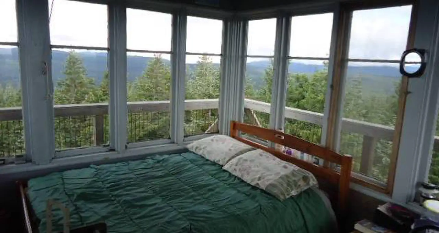

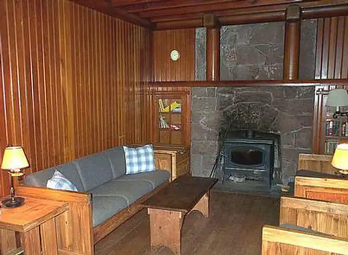
Historic landmarks nearby

Guidebooks for Oregon
We earn a small commission if you buy through these links. It does not change what we list.
Titles come from Open Library's catalog, matched by subject heading or by title.
Reference
Questions people ask
Do I need a reservation at Forest Creek Campground?
No. Forest Creek Campground is first-come, first-served. No reservations. Sites are taken on arrival and paid at the fee station.
Source: Forest Service
How much does it cost to camp at Forest Creek Campground?
This site is operated by a concessionaire, Alaska Recreational Management. Camping: $16/night for single site, $8/night for extra vehicle. Day use: $10/day/vehicle
Source: Forest Service
Is Forest Creek Campground open right now?
Closed for the season as of Oct 26, 2026.
Source: Forest Service status
Can I bring an RV to Forest Creek Campground?
Forest Creek Campground is listed for tents only.
Source: Forest Service
What if Forest Creek Campground is full?
The nearest public campgrounds are Keeps Mill Campground (1.8 mi, first-come), White River Station Campground (4 mi, first-come), and Bear Springs Campground (4.4 mi).
Source: Campgrounds nearby