McCubbins Gulch Campground & Day Use
McCubbins Gulch is a rustic campground located at the edge of the national forest. It has multiple shady sites, many of which are adjacent to a creek. Picnic tables are available as well as a vault toilet. This campground and day use area is within the McCubbins Gulch OHV designated trail system area. Campers are likely to hear and see OHV enthusiasts during their stay. This campground is near the Warm Springs Tribal Lands. Remember, tribal land is private land - do not trespass.
More like this: first-come in Oregon · tent only in Oregon

Amenities & rules
| Equipment | Tents |
| Fees | Camping: $16/night for single site, $8/night for extra vehicle. Day use: $10/day/vehicle |
Individual sites vary. Confirm on Recreation.gov or with the managing office.
Season & status
| Status | Closed for the season. Forest Service sites close for the season; check the official page for the reopening date. |
| Forest | Mt. Hood National Forest |
| Booking | No reservations. |
| Fees | Camping: $16/night for single site, $8/night for extra vehicle. Day use: $10/day/vehicle |
| Rules | Vehicles 25 ft. max. You must pack in/pack out. Class 1 and Class 3 ATVs. Temporary closures: The OHV trail system temporarily closes during fire season and closes Dec. 1 - Mar. 31 to help protect the winter range. State of Oregon rules for OHV use |
Weather by month
Getting there
| Coordinates | 45.1167° N, 121.4938° W · Directions ↗ |
Fire nearby
- WildfireGrasshopper
9 mi from the campground · 93,972 acres · 98% contained
- PrescribedTriple Butte Rx
19 mi from the campground
- WildfireAustin
23 mi from the campground · 12,888 acres · 98% contained
- PrescribedMuddy Run Rx
23 mi from the campground · 152 acres
Distance is to the reported incident point, not the fire edge. Call the managing office before you drive.
Supplies & services
| Outdoor gear | Outer Limits Sports ↗ | 17 mi |
| RV sales & service | Adventure Trading RV ↗ | 54.7 mi |
Locations © OpenStreetMap contributors. Call ahead; hours change seasonally.
Explore
Worth a stop
- 8.8 mi
Trails nearby
- 0.1 miMcCubbins 576: Barton Loop3.2 mi trail
- 0.1 miMcCubbins 575: Powerline ↗8.9 mi trail
- 0.4 miMcCubbins 2110-2401.3 mi trail
- 0.4 miMcCubbins 576A: Campgrnd Loop1.4 mi trail
- 0.5 miMcCubbins 5843.4 mi trail
- 0.8 miMcCubbins 576D: Peggy0.5 mi trail
Trailheads within three miles
- 1 miCooks Camp Trailhead ↗Mt. Hood National Forest
Trail and trailhead records are the Forest Service's. Distances are straight-line to the nearer trail end. Trail conditions are not tracked here.
Public land it sits in
This campground sits inside Mt. Hood National Forest.
- inMt. Hood National Forest ↗National Forest · Forest Service · 1,060,160 acres
- 0.9 miLower White River Wilderness ↗Wilderness · BLM/FS · 2,871 acres
- 9.3 miBadger Creek Wilderness ↗Wilderness · Forest Service · 28,915 acres
Each unit is published as a centre point and an acreage rather than a boundary, so this section stands it in for a circle of the same area. Whether a campground is inside, and how far it is from one it is outside, are both approximate.
Other campgrounds nearby



Cabin and lookout rentals nearby
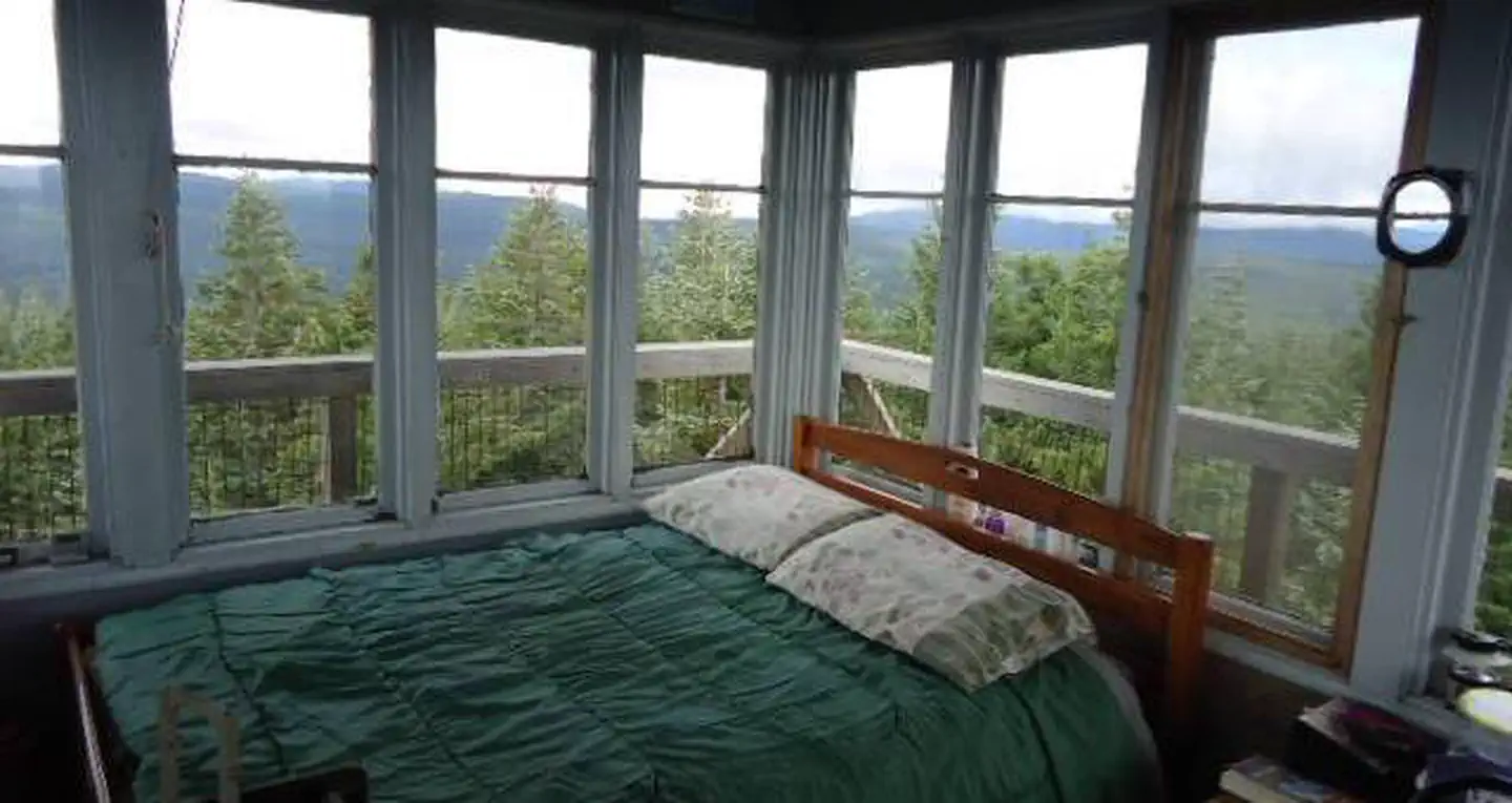
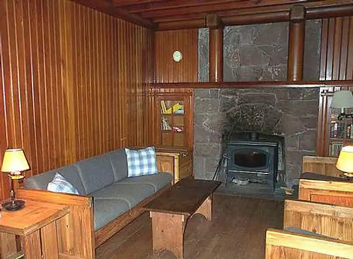

Historic landmarks nearby

Guidebooks for Oregon
We earn a small commission if you buy through these links. It does not change what we list.
Titles come from Open Library's catalog, matched by subject heading or by title.
Reference
Questions people ask
Do I need a reservation at McCubbins Gulch Campground & Day Use?
No. McCubbins Gulch Campground & Day Use is first-come, first-served. No reservations. Sites are taken on arrival and paid at the fee station.
Source: Forest Service
How much does it cost to camp at McCubbins Gulch Campground & Day Use?
Camping: $16/night for single site, $8/night for extra vehicle. Day use: $10/day/vehicle
Source: Forest Service
Is McCubbins Gulch Campground & Day Use open right now?
Closed for the season as of Oct 26, 2026.
Source: Forest Service status
Can I bring an RV to McCubbins Gulch Campground & Day Use?
McCubbins Gulch Campground & Day Use is listed for tents only.
Source: Forest Service
What if McCubbins Gulch Campground & Day Use is full?
The nearest public campgrounds are McCubbins Overflow Campground (0.3 mi, first-come), Spring Drive RV Campground (1.1 mi), and Bear Springs Campground (1.8 mi).
Source: Campgrounds nearby