Timothy Lake - Meditation Point Campground
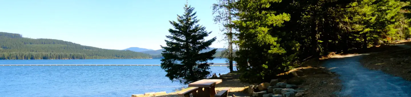
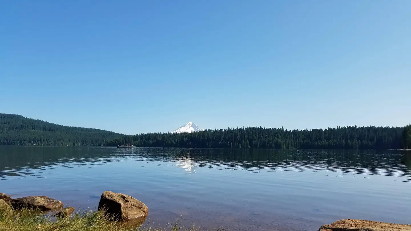
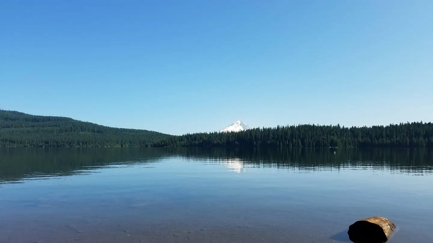
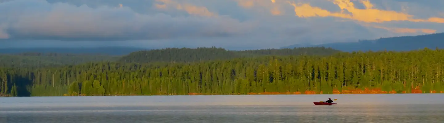
Meditation Point Campground is a small, primitive hike-to campground on the shores of Timothy Lake. Campers can park at the West Shore Day Use area to access the campground. There is also a small trailhead on NF-5890 on the north side of the lake. A day use permit or annual pass is required for parking. The rustic sites are limited to groups of six campers each. The 7 campsites are accessible by boat, bike or hike only. There is a vault toilet, and each site is equipped with a table and fire ring.
More like this: first-come in Oregon · tent only in Oregon

Site map
7 campsite locations mapped by OpenStreetMap contributors. The site numbers are theirs and may not match the posts at the campground. Map data © OpenStreetMap contributors, ODbL.
Amenities & rules
| Equipment | Tents |
| Fees | Camping: $10/night for single primitive site. Day use: $10/day/vehicle required at the trailhead. |
Individual sites vary. Confirm on Recreation.gov or with the managing office.
Season & status
| Status | Closed for the season. Forest Service sites close for the season; check the official page for the reopening date. |
| Forest | Mt. Hood National Forest |
| Booking | No reservations. |
| Fees | Camping: $10/night for single primitive site. Day use: $10/day/vehicle required at the trailhead. |
| Rules | 10 mph speed limit for motorized boats on the lake. |
Weather by month
Getting there
| Coordinates | 45.1272° N, 121.7931° W · Directions ↗ |
Fire nearby
- WildfireAustin
10 mi from the campground · 12,888 acres · 98% contained
- WildfireThe Narrows
15 mi from the campground · 305 acres · 98% contained
- WildfireGrasshopper
16 mi from the campground · 93,972 acres · 98% contained
- PrescribedTriple Butte Rx
17 mi from the campground
Distance is to the reported incident point, not the fire edge. Call the managing office before you drive.
Supplies & services
| Outdoor gear | Valians Sports ↗ | 12.3 mi |
| Dump station | Dump station ↗ | 29.3 mi |
| RV sales & service | Adventure Trading RV ↗ | 40.7 mi |
Locations © OpenStreetMap contributors. Call ahead; hours change seasonally.
Explore
Worth a stop
- 12.1 miMirror Lake Trailhead ↗Trailhead
- 12.6 miSalmon River West Trailhead ↗Trailhead
Trails nearby
- 0.1 miMeditation Point0.3 mi trail
- 0.9 mi5860 Road Snow3.5 mi trail
- 1.2 mi5740 Road Snow2.6 mi trail
- 1.2 miSouthshore3 mi trail
- 1.2 mi5890 Road Snow ↗6 mi trail
- 1.2 mi5700 Road Snow4 mi trail
Trailheads within three miles
- 1.1 miTimothy Lake - West Shore Day Use ↗Mt. Hood National Forest
- 2.9 miJoe Graham/Pacific Crest Trailhead ↗Mt. Hood National Forest
Trail and trailhead records are the Forest Service's. Distances are straight-line to the nearer trail end. Trail conditions are not tracked here.
Public land it sits in
This campground sits inside Mt. Hood National Forest.
- inMt. Hood National Forest ↗National Forest · Forest Service · 1,060,160 acres
- 6.4 miRoaring River Wilderness ↗Wilderness · Forest Service · 36,548 acres
- 6.5 miSalmon-Huckleberry Wilderness ↗Wilderness · Forest Service · 62,139 acres
Each unit is published as a centre point and an acreage rather than a boundary, so this section stands it in for a circle of the same area. Whether a campground is inside, and how far it is from one it is outside, are both approximate.
Other campgrounds nearby
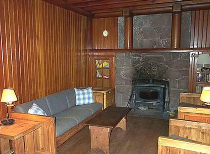
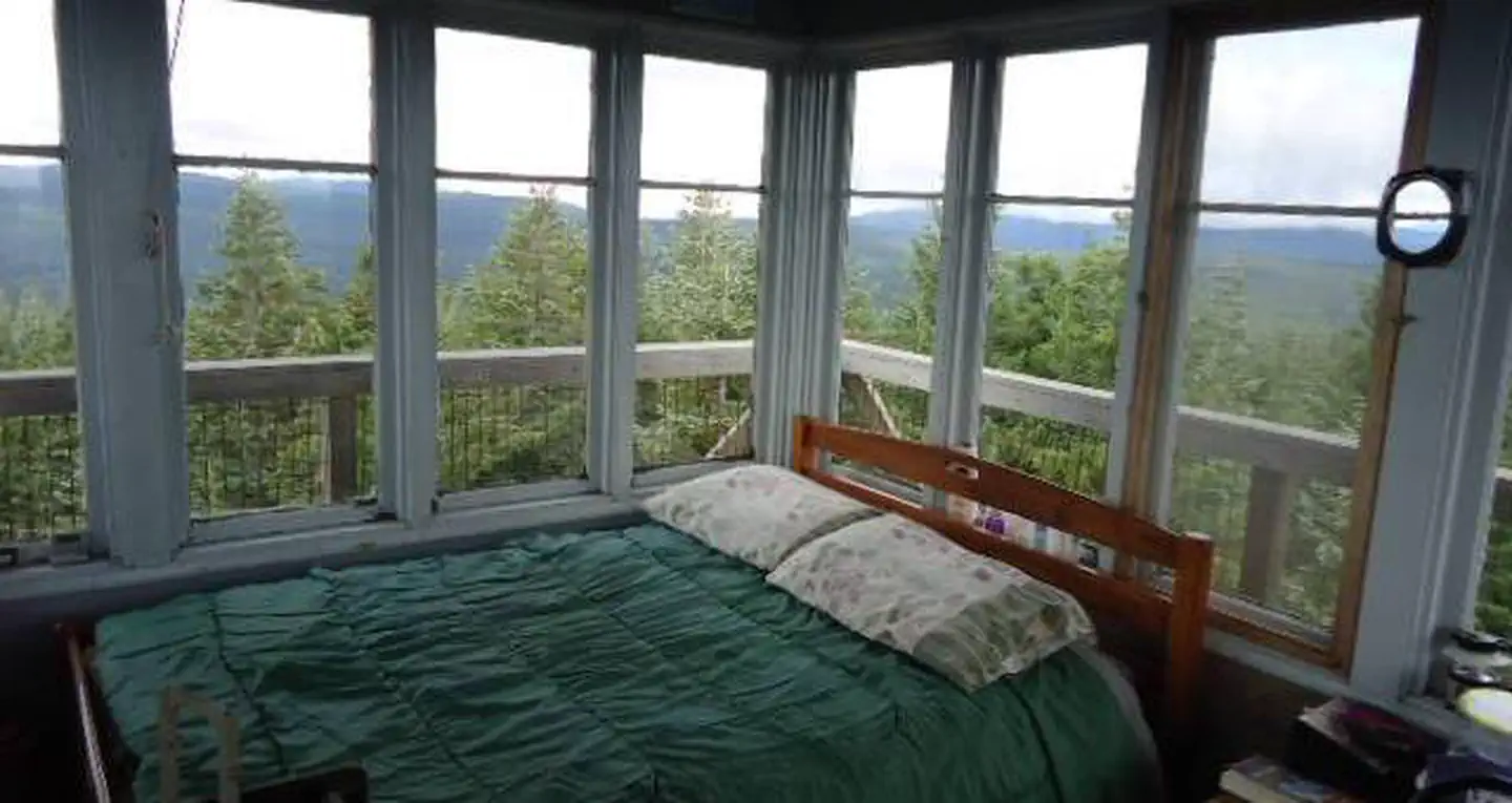
Cabin and lookout rentals nearby

Historic landmarks nearby

Guidebooks for Oregon
We earn a small commission if you buy through these links. It does not change what we list.
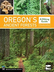
Titles come from Open Library's catalog, matched by subject heading or by title.
Reference
Questions people ask
Do I need a reservation at Timothy Lake - Meditation Point Campground?
No. Timothy Lake - Meditation Point Campground is first-come, first-served. No reservations. Sites are taken on arrival and paid at the fee station.
Source: Forest Service
How much does it cost to camp at Timothy Lake - Meditation Point Campground?
Camping: $10/night for single primitive site. Day use: $10/day/vehicle required at the trailhead.
Source: Forest Service
Is Timothy Lake - Meditation Point Campground open right now?
Closed for the season as of Oct 26, 2026.
Source: Forest Service status
How many sites does Timothy Lake - Meditation Point Campground have?
7 sites.
Source: Forest Service
Can I bring an RV to Timothy Lake - Meditation Point Campground?
Timothy Lake - Meditation Point Campground is listed for tents only.
Source: Forest Service
What if Timothy Lake - Meditation Point Campground is full?
The nearest public campgrounds are Pine Point Campground (1 mi, partly first-come), Gone Creek Campground (1.3 mi, partly first-come), and Hoodview Campground (1.3 mi, partly first-come).
Source: Campgrounds nearby