Divide Well Campground
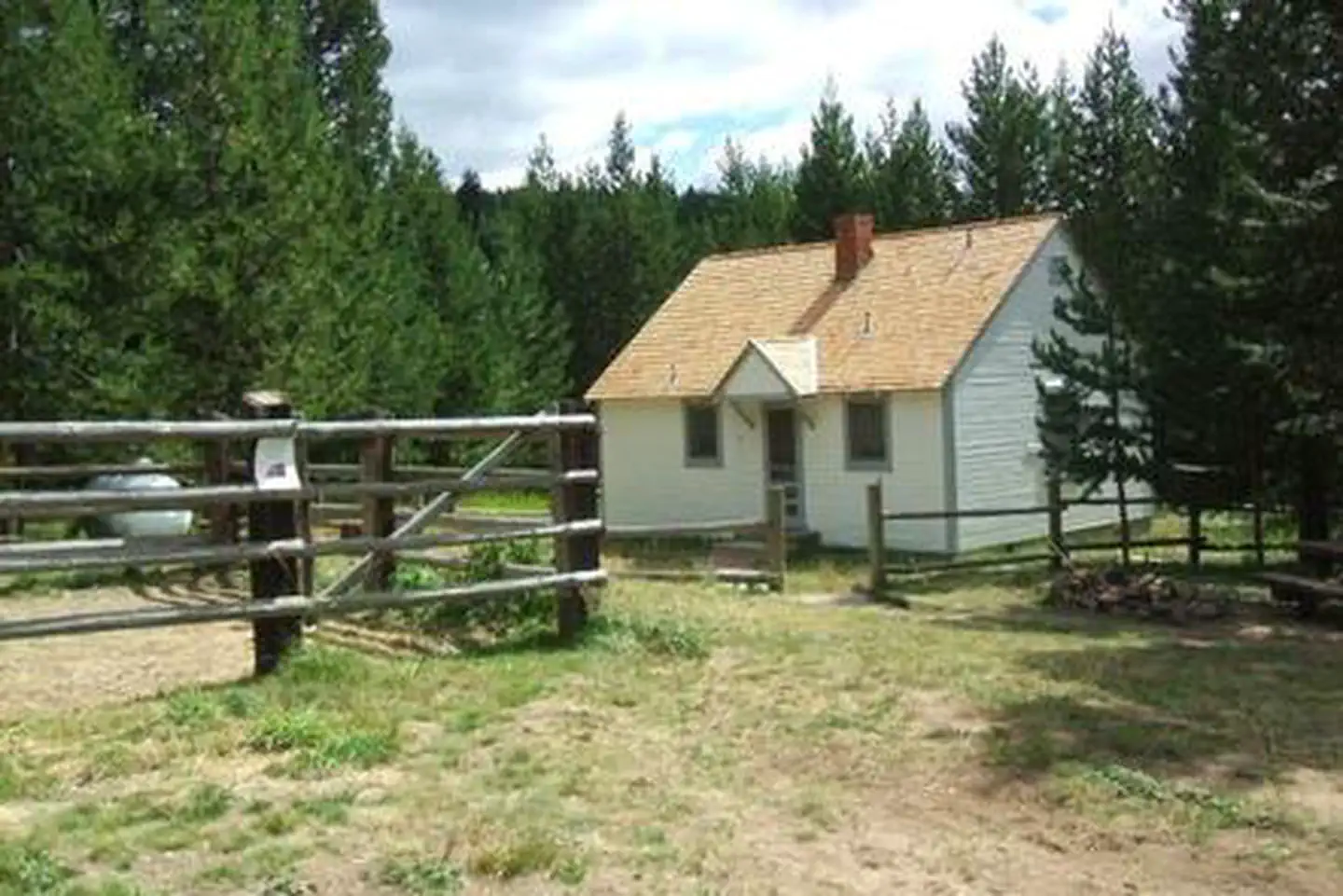
Divide Well Campground is a remote site with a rustic look. It is situated in an meadow with scattered ponderosa pine and denser fir along the campground edges. Divide Well is a popular spot for elk hunters, but little used through the rest of the season. It features 11 campsties and two accessible vault toilets. There is no potable water or garbage service, so please pack out all garbage and dispose of it at home. Nearby is the Potamus Point Interpretive Site, with breathtaking views, interesting geology, and a herd of re-introduced bighorn sheep. There are no developed trails on this side of the North Fork John Day Ranger District.
More like this: first-come in Oregon · free in Oregon · tent only in Oregon

Amenities & rules
| Equipment | Tents |
| Fees | No fee. |
Individual sites vary. Confirm on Recreation.gov or with the managing office.
Season & status
| Status | Open |
| Forest | Umatilla National Forest |
| Fees | No fee. |
Weather by month
Getting there
| Coordinates | 45.1026° N, 119.1425° W · Directions ↗ |
Fire nearby
- PrescribedGalena Rx
41 mi from the campground · 531 acres
- PrescribedBirdtrack 621 Broadcast Rx
43 mi from the campground · 377 acres
- WildfireMccully
46 mi from the campground · 13,604 acres · 91% contained
- PrescribedBpfz 2026 Fall Pile Rx
47 mi from the campground
Distance is to the reported incident point, not the fire edge. Call the managing office before you drive.
Explore
Video
Datil Well Campground, New Mexico | Wow, Almost FREE and huge campsites! Part 1…
Public land it sits in
This campground sits inside Umatilla National Forest.
- inUmatilla National Forest ↗National Forest · Forest Service · 1,498,100 acres
Each unit is published as a centre point and an acreage rather than a boundary, so this section stands it in for a circle of the same area. Whether a campground is inside, and how far it is from one it is outside, are both approximate.
Other campgrounds nearby

Cabin and lookout rentals nearby
Guidebooks for Oregon
We earn a small commission if you buy through these links. It does not change what we list.
Titles come from Open Library's catalog, matched by subject heading or by title.
Reference
Questions people ask
How much does it cost to camp at Divide Well Campground?
Nothing. Divide Well Campground is listed as free. No fee.
Source: Forest Service
Is Divide Well Campground open right now?
Open as of Oct 26, 2026.
Source: Forest Service status
Can I bring an RV to Divide Well Campground?
Divide Well Campground is listed for tents only.
Source: Forest Service
What if Divide Well Campground is full?
The nearest public campgrounds are Penland Lake Campground (8.7 mi, first-come), Coalmine Hill Campground (10.3 mi, first-come), and Tollbridge Campground (12.5 mi, first-come).
Source: Campgrounds nearby