Winom Campground & Trailhead
This campground is located along the paved Blue Mountain Scenic Byway southeast of Ukiah, OR. There are 10 campsites (3 of which are group sites) and 2 accessible toilets. Sites 3 and 4 have log picnic shelters. There is an interpretive sign near the information board and OHV loading dock. There is no water or garbage service, so please pack your garbage home. Trail access: The Tower Loop Trail #3040 connects with the campground providing access to the southern end of the Winom-Frazier OHV Complex with over 100 miles of trail to enjoy.
More like this: first-come in Oregon · free in Oregon · tent only in Oregon

Amenities & rules
| Equipment | Tents |
| Fees | Day-Use: No fee. Single site: $10/night (extra $5 fee per vehicle exceeding the two-vehicle-per-site allowance). Group sites: Sites 3, 4, and 10 are available for $25/night (no extra vehicle charge). |
Individual sites vary. Confirm on Recreation.gov or with the managing office.
Season & status
| Status | Open |
| Season | Late May |
| Forest | Umatilla National Forest |
| Booking | Not reservable. |
| Fees | Day-Use: No fee. Single site: $10/night (extra $5 fee per vehicle exceeding the two-vehicle-per-site allowance). Group sites: Sites 3, 4, and 10 are available for $25/night (no extra vehicle charge). |
| Rules | Wilderness restrictions apply within North Fork John Day Wilderness accessed via North and South Winom Creek Trails. |
Getting there
| Coordinates | 45.0120° N, 118.6385° W · Directions ↗ |
Fire nearby
- WildfireMccully
22 mi from the campground · 13,604 acres · 91% contained
- PrescribedBpfz 2026 Fall Pile Rx
23 mi from the campground
- PrescribedGalena Rx
25 mi from the campground · 531 acres
- PrescribedBirdtrack 621 Broadcast Rx
27 mi from the campground · 377 acres
Distance is to the reported incident point, not the fire edge. Call the managing office before you drive.
Explore
Worth a stop
- 3.2 miForks Trailhead ↗Trailhead
- 5 miMiner's Cabin Trailhead ↗Trailhead
Trails nearby
Trailheads within three miles
- under 0.1 miWinom Campground & Trailhead ↗Umatilla National Forest · Season Late May
Trail and trailhead records are the Forest Service's. Distances are straight-line to the nearer trail end. Trail conditions are not tracked here.
Public land it sits in
North Fork John Day Wilderness begins about 1.4 miles away, and it is the closest of these.
- 1.4 miNorth Fork John Day Wilderness ↗Wilderness · Forest Service · 120,694 acres
- 8.5 miUmatilla National Forest ↗National Forest · Forest Service · 1,498,100 acres
Each unit is published as a centre point and an acreage rather than a boundary, so this section stands it in for a circle of the same area. Whether a campground is inside, and how far it is from one it is outside, are both approximate.
Other campgrounds nearby
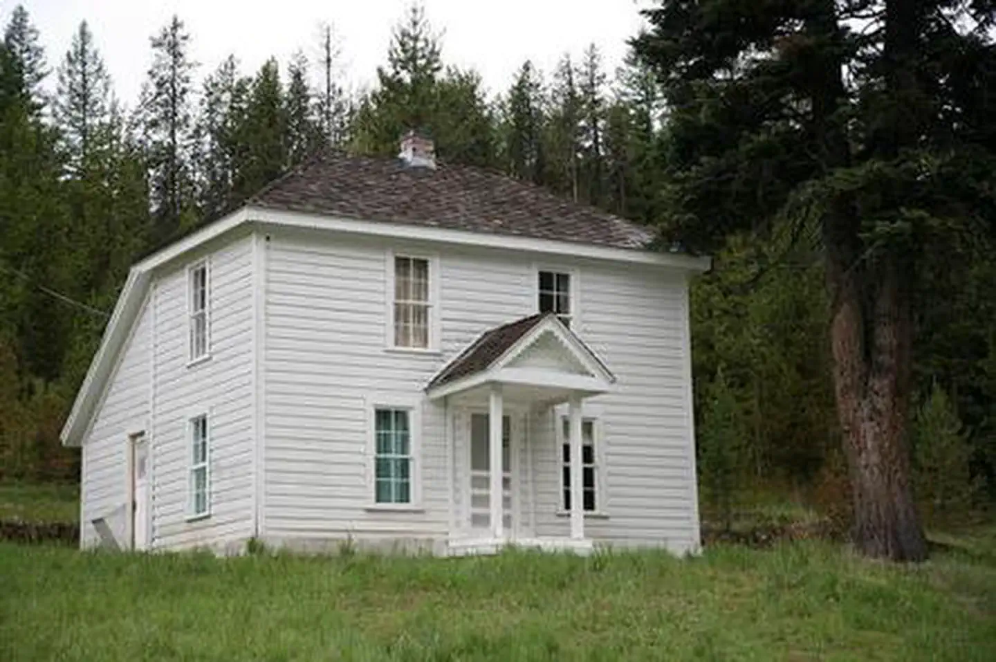
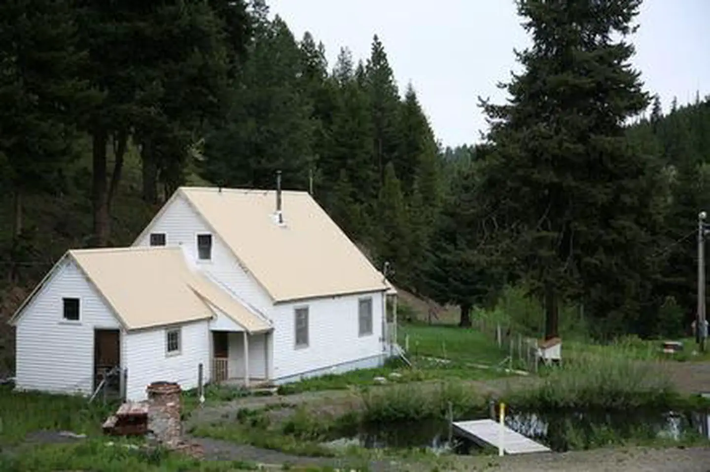
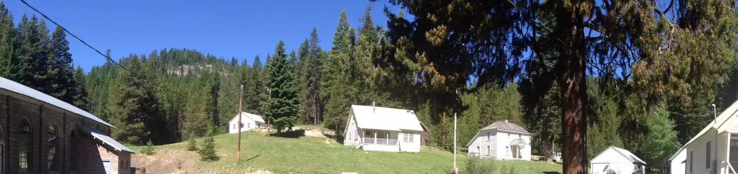
Cabin and lookout rentals nearby
Guidebooks for Oregon
We earn a small commission if you buy through these links. It does not change what we list.
Titles come from Open Library's catalog, matched by subject heading or by title.
Reference
Questions people ask
Do I need a reservation at Winom Campground & Trailhead?
No. Winom Campground & Trailhead is first-come, first-served. Not reservable. Sites are taken on arrival and paid at the fee station.
Source: Forest Service
How much does it cost to camp at Winom Campground & Trailhead?
Nothing. Winom Campground & Trailhead is listed as free. Day-Use: No fee.
Source: Forest Service
Is Winom Campground & Trailhead open right now?
Open as of Oct 26, 2026. Season Late May.
Source: Forest Service status
How many sites does Winom Campground & Trailhead have?
10 sites.
Source: Forest Service
Can I bring an RV to Winom Campground & Trailhead?
Winom Campground & Trailhead is listed for tents only.
Source: Forest Service
What if Winom Campground & Trailhead is full?
The nearest public campgrounds are Big Creek Meadows Campground (1 mi, first-come), Oriental Campground (5.1 mi, first-come), and Umapine Campground (8 mi, first-come).
Source: Campgrounds nearby