Williamson River Campground
The Williamson River Campground is conveniently located just off Highway 97 about five minutes north of Chiloquin, Oregon. There are 19 campsites with picnic tables, fire grates, three vault toilets, and two hand pumps round out the amenities at this campground. One campsite is ADA accessible. Ponderosa pines and sagebrush populate the landscape and contrast with the crystal clear Williamson River. Due to its close proximity to the highway, this is a popular campground. You can mountain bike on miles of Forest Service roads, go fishing, or explore day hikes opportunities. Situated next to the popular Collier State Park, there is a 1.3 mile walking trail that connects the two campgrounds.
More like this: first-come in Oregon · free in Oregon · tent only in Oregon

Amenities & rules
| Equipment | Tents |
| Fees | Camping: $10/night/single unit, $4/night/for each additional vehicle. Day use: No fee |
Individual sites vary. Confirm on Recreation.gov or with the managing office.
Season & status
| Status | Closed for the season. Forest Service sites close for the season; check the official page for the reopening date. |
| Season | 05/26 to 10/15 |
| Forest | Fremont-Winema National Forest |
| Fees | Camping: $10/night/single unit, $4/night/for each additional vehicle. Day use: No fee |
| Rules | No ATV's allowed in campground. |
Weather by month
Getting there
| Coordinates | 42.6586° N, 121.8551° W · Directions ↗ |
Fire nearby
- PrescribedChiloquin Wui Rx
6 mi from the campground
- PrescribedOdf Copperfield Piles Rx
8 mi from the campground
- PrescribedLobert Piles Rx
9 mi from the campground
- PrescribedOdessa Landing Rx
20 mi from the campground
Distance is to the reported incident point, not the fire edge. Call the managing office before you drive.
Supplies & services
| Dump station | Dump station ↗ | 1.4 mi |
| Outdoor gear | The Ledge Outdoor Store ↗ | 30.1 mi |
| RV sales & service | Blue Dog RV of Oregon ↗ | 54.5 mi |
Locations © OpenStreetMap contributors. Call ahead; hours change seasonally.
Explore
Trails nearby
- 0.1 miWilliamson River CG1.3 mi trail · hiking, horse, bike
- 1.2 miOux Kanee0.1 mi trail · hiking, horse, bike
- 1.7 miSpring Creek0.3 mi trail · hiking
- 2.1 miMtr97321400.3 mi trail · hiking, horse, bike, ATV and 1 more
- 2.1 miMtr58114500.5 mi trail · hiking, horse, bike, ATV and 1 more
- 2.3 miMtr58116401.9 mi trail · hiking, horse, bike, ATV and 1 more
Trail and trailhead records are the Forest Service's. Distances are straight-line to the nearer trail end. Trail conditions are not tracked here.
Public land it sits in
Upper Klamath National Wildlife Refuge begins about 7.9 miles away, and it is the closest of these.
- 7.9 miUpper Klamath National Wildlife Refuge ↗National Wildlife Refuge · Fish and Wildlife Service · 28,759 acres
- 9.8 miFremont-Winema National Forest ↗National Forest · Forest Service · 2,815,968 acres
- 11.8 miSky Lakes Wilderness ↗Wilderness · Forest Service · 113,571 acres
Each unit is published as a centre point and an acreage rather than a boundary, so this section stands it in for a circle of the same area. Whether a campground is inside, and how far it is from one it is outside, are both approximate.
Other campgrounds nearby



Cabin and lookout rentals nearby
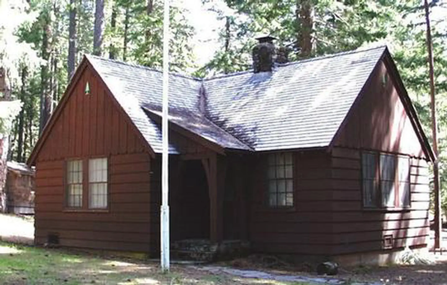
Historic landmarks nearby

Guidebooks for Oregon
We earn a small commission if you buy through these links. It does not change what we list.
Titles come from Open Library's catalog, matched by subject heading or by title.
Reference
Questions people ask
Do I need a reservation at Williamson River Campground?
No. Williamson River Campground is first-come, first-served. Sites are taken on arrival and paid at the fee station.
Source: Forest Service
How much does it cost to camp at Williamson River Campground?
Nothing. Williamson River Campground is listed as free. Camping: $10/night/single unit, $4/night/for each additional vehicle.
Source: Forest Service
Is Williamson River Campground open right now?
Closed for the season as of Oct 26, 2026. Season 05/26 to 10/15.
Source: Forest Service status
How many sites does Williamson River Campground have?
19 sites.
Source: Forest Service
Can I bring an RV to Williamson River Campground?
Williamson River Campground is listed for tents only.
Source: Forest Service
What if Williamson River Campground is full?
The nearest public campgrounds are Scott Creek Campground (16.3 mi, first-come), Lost Creek Campground (17.9 mi, first-come), and Head of the River Campground (22.8 mi, first-come).
Source: Campgrounds nearby