Lee Thomas Campground
Located one hour 30 minutes southwest of Paisley, Oregon, Lee Thomas Campground is located right on the banks of the North Fork of the Wild and Scenic Sprague River. Lodgepole pine trees, rock outcroppings, and riparian meadows characterize the landscape. All seven campsites are close enough to hear the river riffling by. Campground amenities include picnic tables, fire grates, one vault toilet, and potable water. Just one mile east of the campground is the Lee Thomas Trailhead, which accesses Deadhorse Rim Trail #139.
More like this: first-come in Oregon · free in Oregon · tent only in Oregon

active
Amenities & rules
| Equipment | Tents |
| Fees | No fee |
Individual sites vary. Confirm on Recreation.gov or with the managing office.
Season & status
| Status | Closed for the season. Forest Service sites close for the season; check the official page for the reopening date. |
| Season | 05/15 to 10/15 |
| Forest | Fremont-Winema National Forest |
| Fees | No fee |
Weather by month
Getting there
| Coordinates | 42.5913° N, 120.8400° W · Directions ↗ |
Fire nearby
- PrescribedMitten Springs Rx
12 mi from the campground
- PrescribedCoyote Rx
24 mi from the campground
- PrescribedLongbell Piles Rx
35 mi from the campground
- PrescribedBridge Buck Rx 2026
39 mi from the campground
Distance is to the reported incident point, not the fire edge. Call the managing office before you drive.
Explore
Video
Video of Oh! Ridge Campground, CA from Thomas K.
Trails nearby
- 0.9 miDead Horse Rim ↗14 mi trail · hiking, horse, bike
- 1.6 miHadley J ↗8 mi trail · snowmobile, snowshoe, ski
- 1.9 miDead Cow Trail1.9 mi trail · hiking, horse, bike
- 2.3 miGearhart Mountain Trail ↗12.2 mi trail · hiking, horse
- 3 miHadley C4 mi trail · snowmobile, snowshoe, ski
- 4 miLakes Loop ↗7 mi trail · hiking, horse, bike
Trailheads within three miles
- 0.8 miLee Thomas Trailhead ↗Fremont-Winema National Forest · Season 06/15 to 09/15
- 2.3 miNorth Fork Sprague Trailhead ↗Fremont-Winema National Forest · Season 06/15 to 09/15; 09/16-06/14 Open with reduced services
Trail and trailhead records are the Forest Service's. Distances are straight-line to the nearer trail end. Trail conditions are not tracked here.
Public land it sits in
This campground sits inside Fremont-Winema National Forest.
- inFremont-Winema National Forest ↗National Forest · Forest Service · 2,815,968 acres
- 2.2 miGearhart Mountain Wilderness ↗Wilderness · Forest Service · 22,614 acres
Each unit is published as a centre point and an acreage rather than a boundary, so this section stands it in for a circle of the same area. Whether a campground is inside, and how far it is from one it is outside, are both approximate.
Other campgrounds nearby


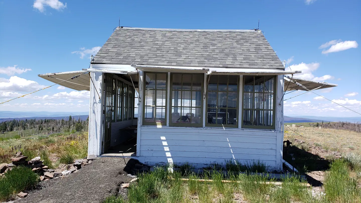
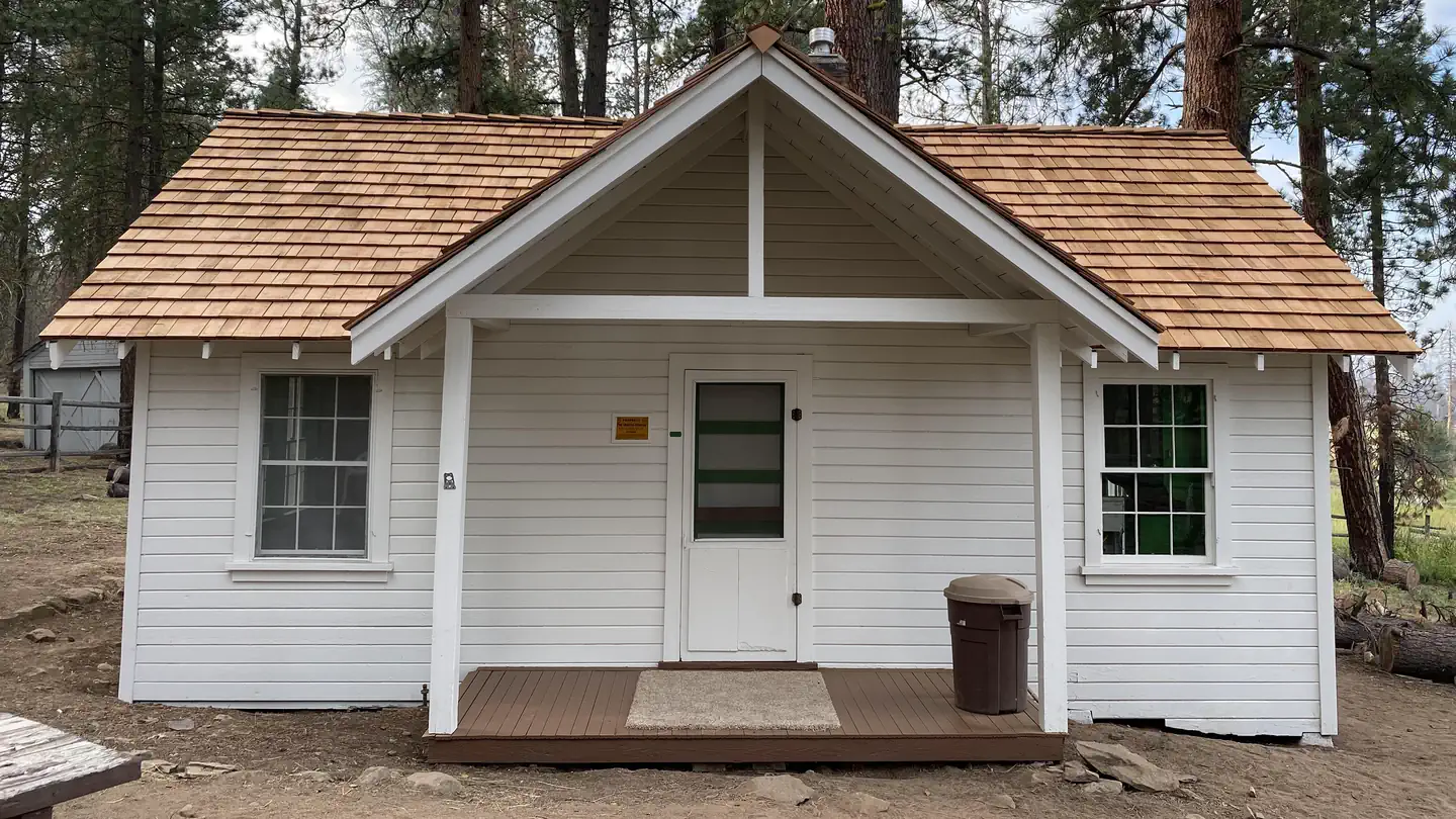
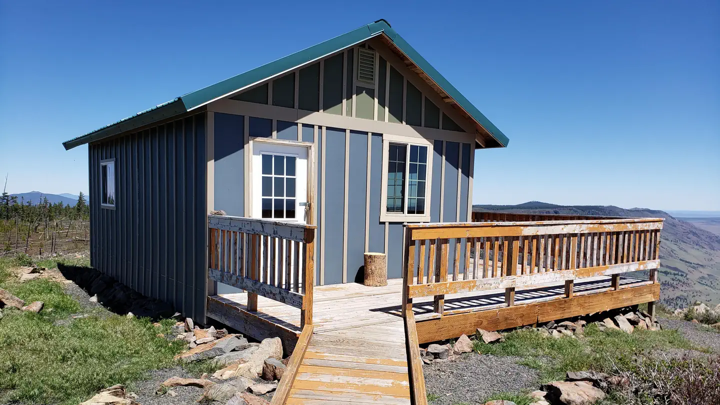
Cabin and lookout rentals nearby
On the National Register nearby
- Mitchell Recreation AreaSite · Bly · 11.1 mi
Guidebooks for Oregon
We earn a small commission if you buy through these links. It does not change what we list.
Titles come from Open Library's catalog, matched by subject heading or by title.
Reference
Questions people ask
Do I need a reservation at Lee Thomas Campground?
No. Lee Thomas Campground is first-come, first-served. Sites are taken on arrival and paid at the fee station.
Source: Forest Service
How much does it cost to camp at Lee Thomas Campground?
Nothing. Lee Thomas Campground is listed as free. No fee
Source: Forest Service
Is Lee Thomas Campground open right now?
Closed for the season as of Oct 26, 2026. Season 05/15 to 10/15.
Source: Forest Service status
Can I bring an RV to Lee Thomas Campground?
Lee Thomas Campground is listed for tents only.
Source: Forest Service
What if Lee Thomas Campground is full?
The nearest public campgrounds are Sandhill Crossing Campground (2.1 mi, first-come), Deadhorse Lake Campground (3.9 mi, first-come), and Campbell Lake Campground (4.8 mi, first-come).
Source: Campgrounds nearby