Chewaucan Crossing Campground/Trailhead
This highly used campground is ideally located right on the Chewaucan River, 20 minutes south of Paisley, Oregon. Chewaucan Crossing Trailhead, within the campground, accesses Fremont National Recreation Trail #160 a multi-use trail, and a challenging trek in both directions as hikers must climb out of the river canyon. You can hike, mountain bike, or horseback ride north to Yamsay Mountain or south to Cox Pass. A pedestrian bridge crosses the river and links to the trail. There are many fishing opportunities for rainbow and brook trout. The site is surrounded by a high desert, pine, and juniper setting.
More like this: first-come in Oregon · free in Oregon · tent only in Oregon

active
Amenities & rules
| Equipment | Tents |
| Fees | No fee |
Individual sites vary. Confirm on Recreation.gov or with the managing office.
Season & status
| Status | Closed for the season. Forest Service sites close for the season; check the official page for the reopening date. |
| Season | 05/15 to 10/15;10/16-05/14 Open with reduced services |
| Forest | Fremont-Winema National Forest |
| Fees | No fee |
Weather by month
Getting there
| Coordinates | 42.6158° N, 120.6062° W · Directions ↗ |
Fire nearby
- PrescribedMitten Springs Rx
17 mi from the campground
- PrescribedCoyote Rx
32 mi from the campground
- PrescribedWarner Wetlands Rx
41 mi from the campground
- PrescribedLongbell Piles Rx
45 mi from the campground
Distance is to the reported incident point, not the fire edge. Call the managing office before you drive.
Explore
Trails nearby
- 3.3 miHadley F2.1 mi trail · snowmobile, snowshoe, ski
- 3.8 miHadley G0.4 mi trail · snowmobile, snowshoe, ski
- 3.8 miHadley E ↗22.2 mi trail · snowmobile, snowshoe, ski
- 4 miHadley D2.3 mi trail · snowmobile, snowshoe, ski
- 4.3 miHadley H2 mi trail · snowmobile, snowshoe, ski
- 4.5 miHadley Snowmobile ↗56.6 mi trail · snowmobile, snowshoe, ski
Trailheads within three miles
- under 0.1 miChewaucan Crossing Campground/Trailhead ↗Fremont-Winema National Forest · Season 05/15 to 10/15;10/16-05/14 Open with reduced services
Trail and trailhead records are the Forest Service's. Distances are straight-line to the nearer trail end. Trail conditions are not tracked here.
Public land it sits in
This campground sits inside Fremont-Winema National Forest.
- inFremont-Winema National Forest ↗National Forest · Forest Service · 2,815,968 acres
- 11 miGearhart Mountain Wilderness ↗Wilderness · Forest Service · 22,614 acres
Each unit is published as a centre point and an acreage rather than a boundary, so this section stands it in for a circle of the same area. Whether a campground is inside, and how far it is from one it is outside, are both approximate.
Other campgrounds nearby


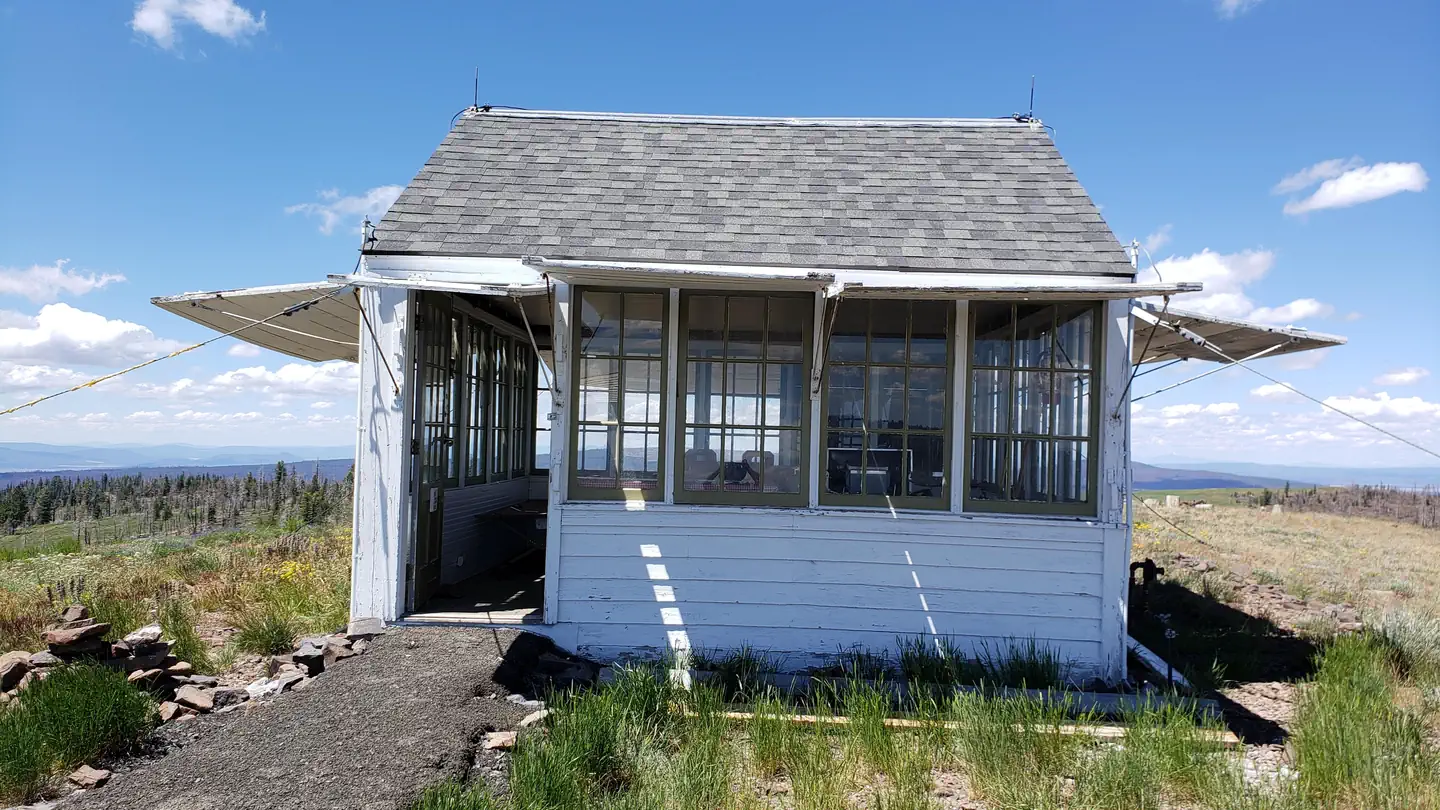
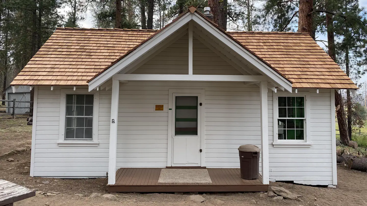
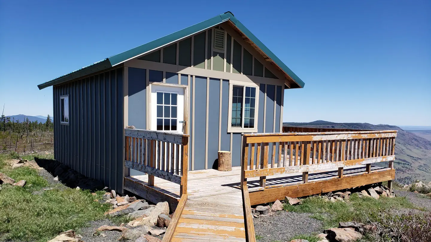
Cabin and lookout rentals nearby
Guidebooks for Oregon
We earn a small commission if you buy through these links. It does not change what we list.
Titles come from Open Library's catalog, matched by subject heading or by title.
Reference
Questions people ask
Do I need a reservation at Chewaucan Crossing Campground/Trailhead?
No. Chewaucan Crossing Campground/Trailhead is first-come, first-served. Sites are taken on arrival and paid at the fee station.
Source: Forest Service
How much does it cost to camp at Chewaucan Crossing Campground/Trailhead?
Nothing. Chewaucan Crossing Campground/Trailhead is listed as free. No fee
Source: Forest Service
Is Chewaucan Crossing Campground/Trailhead open right now?
Closed for the season as of Oct 26, 2026. Season 05/15 to 10/15;10/16-05/14 Open with reduced services.
Source: Forest Service status
Can I bring an RV to Chewaucan Crossing Campground/Trailhead?
Chewaucan Crossing Campground/Trailhead is listed for tents only.
Source: Forest Service
What if Chewaucan Crossing Campground/Trailhead is full?
The nearest public campgrounds are Marsters Spring Campground (0.6 mi), Jones Crossing Campground (0.7 mi, first-come), and Campbell Lake Campground (8.2 mi, first-come).
Source: Campgrounds nearby