Magruder Crossing Campground
Magruder Crossing Campground features 6 campsites on the Selway River, and a vault toilet. Site will accept RV's or trailers to 30'. Stock can be kept in this campground. This was the crossing on a route established for commerce between Lewiston and Virginia City, MT during the gold rush. To the north of the campground, an earlier route, Southern Nez Perce Trail, crosses the road.
More like this: first-come in Idaho · tent only in Idaho

Amenities & rules
| Equipment | Tents |
Individual sites vary. Confirm on Recreation.gov or with the managing office.
Season & status
| Forest | Bitterroot National Forest |
| Rules | Camping limited to 16 consecutive days. |
Weather by month
Getting there
| Coordinates | 45.7353° N, 114.7588° W · Directions ↗ |
Fire nearby
- PrescribedRx D4 Wilderness Corridor Hand Piles
3 mi from the campground
- PrescribedRx D4 West Fork Hand Piles South
24 mi from the campground
- PrescribedRx D4 Hughes Creek
25 mi from the campground · 200 acres
- PrescribedRx D4 Piquett Creek
28 mi from the campground · 2,210 acres
Distance is to the reported incident point, not the fire edge. Call the managing office before you drive.
Supplies & services
| RV sales & service | Hamilton RV Sales Of Montana ↗ | 47 mi |
Locations © OpenStreetMap contributors. Call ahead; hours change seasonally.
No site-by-site records, no fee schedule, no directions or photos in the Recreation.gov record. What is here comes from the agency's own listing. The rest lives there.
Checked nightly. Modules appear as soon as the record fills in.
Explore
Video
Troubles on the magruder corridor part 2
Worth a stop
- 1 miBeaver Point Day Use Area ↗Day use
- 8.8 miSalmon Base Camp Trailhead ↗Trailhead
Trails nearby
- 2.7 miDeep Creek-Beaver Jack4 mi trail
- 3.1 miKim Creek ↗5.7 mi trail
- 3.1 miSelway River - Fcronr ↗20.1 mi trail
- 3.1 miPasture Ridge ↗5 mi trail
- 3.1 miSpot Mountain ↗6.9 mi trail
- 3.6 miNez Perce Trail Connect1.4 mi trail
Trail and trailhead records are the Forest Service's. Distances are straight-line to the nearer trail end. Trail conditions are not tracked here.
Public land it sits in
This campground sits inside Bitterroot National Forest, which overlaps Nez Perce-Clearwater National Forest.
- inBitterroot National Forest ↗National Forest · Forest Service · 1,664,512 acres
- inNez Perce-Clearwater National Forest ↗National Forest · Forest Service · 4,072,795 acres
- 1.4 miSelway-Bitterroot Wilderness ↗Wilderness · Forest Service · 1,347,644 acres
Each unit is published as a centre point and an acreage rather than a boundary, so this section stands it in for a circle of the same area. Whether a campground is inside, and how far it is from one it is outside, are both approximate.
Other campgrounds nearby

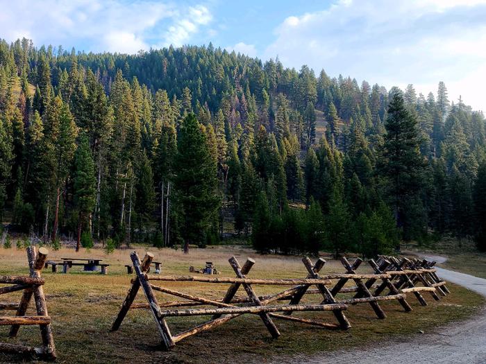
Cabin and lookout rentals nearby
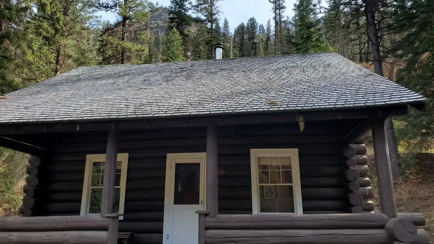
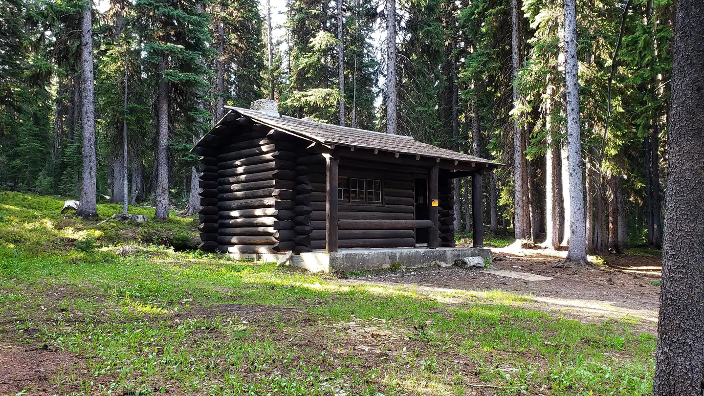
On the National Register nearby
- Deep Creek Ranger StationHistoric district · Darby, Mt. · 2.9 mi
- Salmon Mountain LookoutBuilding · Darby (MT) · 9 mi
Guidebooks for Idaho
We earn a small commission if you buy through these links. It does not change what we list.
Titles come from Open Library's catalog, matched by subject heading or by title.
Reference
Questions people ask
How many sites does Magruder Crossing Campground have?
6 sites.
Source: Forest Service
Can I bring an RV to Magruder Crossing Campground?
Magruder Crossing Campground is listed for tents only.
Source: Forest Service
What if Magruder Crossing Campground is full?
The nearest public campgrounds are Paradise Campground (8.8 mi, first-come), Fales Flat Campground (15.2 mi, partly first-come), and Wendover Campground (15.9 mi, first-come).
Source: Campgrounds nearby