Mill Falls Campground
4 campsites near the South Fork of the Teton River. Some fishing for brook, rainbow, and cutthroat, though all populations are low. Go 1 mile west to the end of the road to the South Fork trailhead, and hike in the short distance to pristine Our Lake, near the border of the Bob Marshall Wilderness. Our Lake is a fantastic place to see mountain goats year round, as well as the ever-entertaining pika and yellow-bellied marmot. Never approach or feed wildlife. Bears may frequent the area; keep all food out of sight in approved containers and remove all food from area after eating. Mandatory food storage is required.
More like this: first-come in Montana · tent only in Montana

Amenities & rules
| Equipment | Tents |
Individual sites vary. Confirm on Recreation.gov or with the managing office.
Season & status
| Status | Closed for the season. Forest Service sites close for the season; check the official page for the reopening date. |
| Forest | Helena-Lewis and Clark National Forest |
Weather by month
Getting there
| Coordinates | 47.8589° N, 112.7728° W · Directions ↗ |
Fire nearby
- PrescribedSl Valley Bottom Rx
48 mi from the campground
- PrescribedSl Cold Jim Rx
50 mi from the campground
Distance is to the reported incident point, not the fire edge. Call the managing office before you drive.
No site-by-site records, no fee schedule, no directions or photos in the Recreation.gov record. What is here comes from the agency's own listing. The rest lives there.
Checked nightly. Modules appear as soon as the record fills in.
Explore
Worth a stop
- 7.2 miWest Fork Teton Trailhead ↗Trailhead
Trails nearby
- 0.1 miWillis Trail2.4 mi trail · hiking
- 0.5 miSouth Fork Teton ↗11.4 mi trail · hiking, horse, bike
- 0.8 miLonesome Ridge2.1 mi trail · hiking, horse, bike, motorcycle and 1 more
- 0.8 miHeadquarters Creek ↗12.3 mi trail · hiking, horse
- 1.1 miGreen Gulch ↗6.4 mi trail · hiking, horse, bike
- 1.2 miOur Lake3.1 mi trail · hiking
Trailheads within three miles
- 0.5 miSouth Fork Teton Trailhead ↗Helena-Lewis and Clark National Forest
Trail and trailhead records are the Forest Service's. Distances are straight-line to the nearer trail end. Trail conditions are not tracked here.
Public land it sits in
This campground sits inside Bob Marshall Wilderness.
- inBob Marshall Wilderness ↗Wilderness · Forest Service · 1,062,694 acres
- 12.9 miFlathead National Forest ↗National Forest · Forest Service · 2,651,693 acres
Each unit is published as a centre point and an acreage rather than a boundary, so this section stands it in for a circle of the same area. Whether a campground is inside, and how far it is from one it is outside, are both approximate.
Other campgrounds nearby
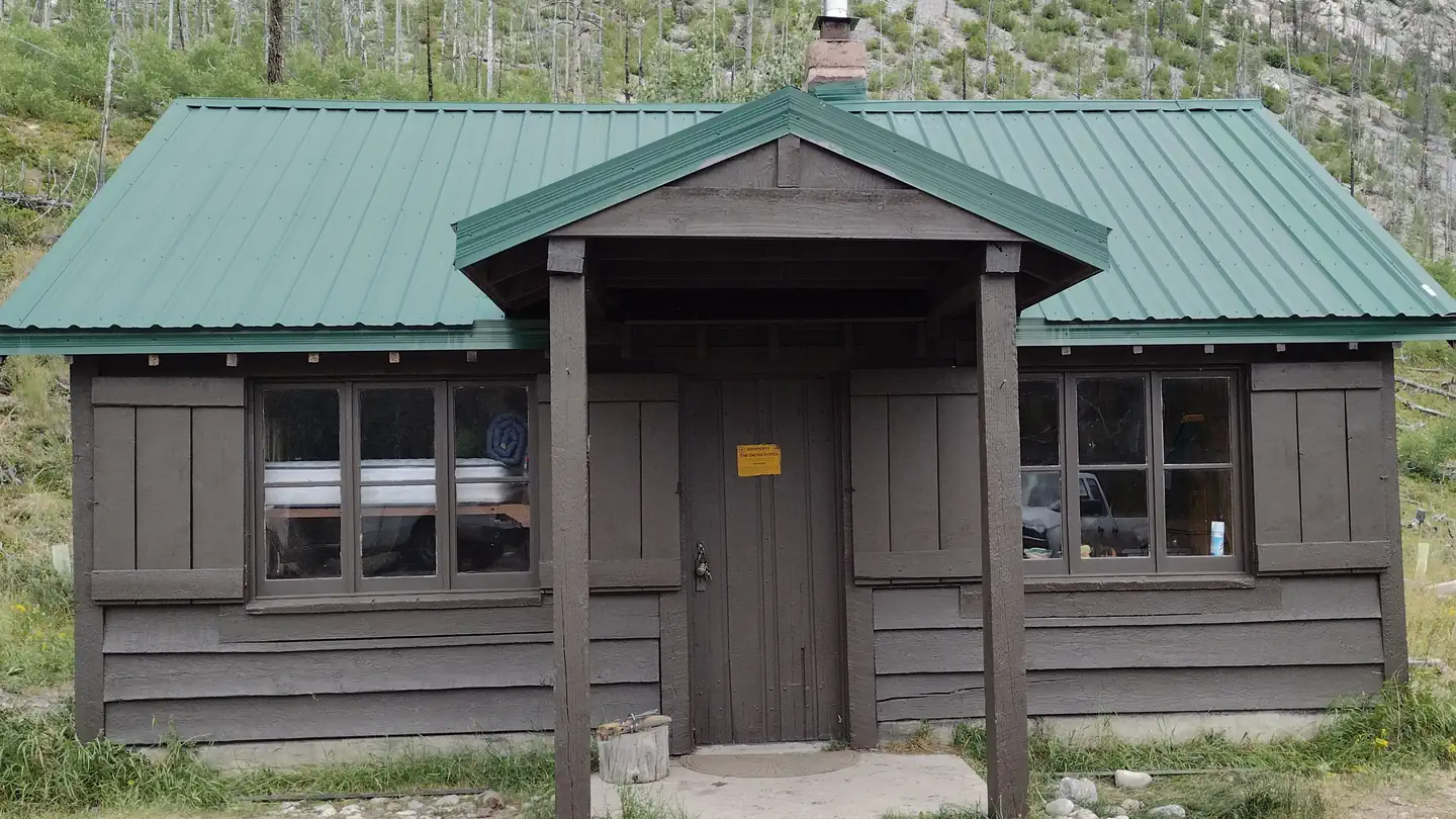
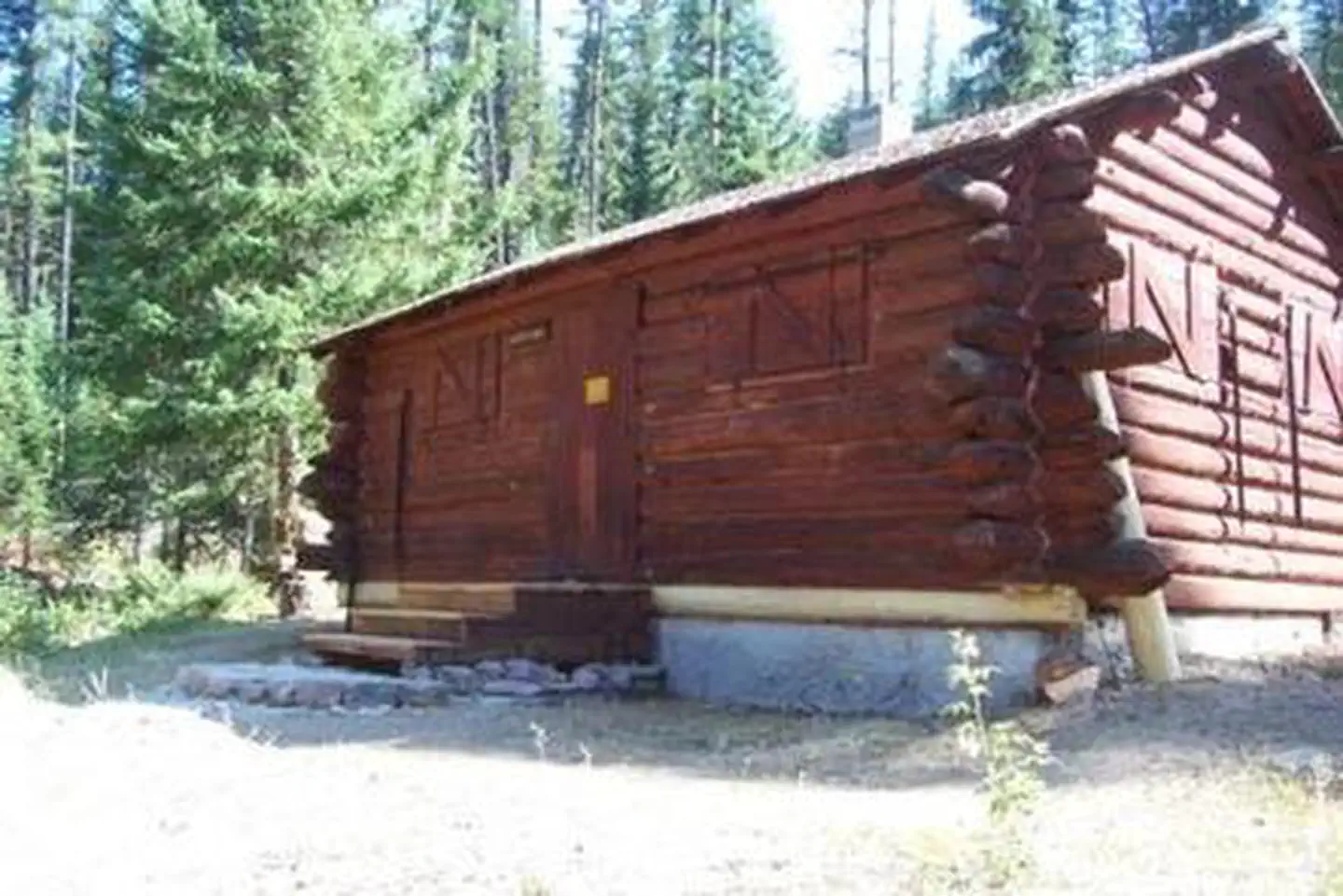
Cabin and lookout rentals nearby

Guidebooks for Montana
We earn a small commission if you buy through these links. It does not change what we list.
Titles come from Open Library's catalog, matched by subject heading or by title.
Reference
Questions people ask
Is Mill Falls Campground open right now?
Closed for the season as of Oct 26, 2026.
Source: Forest Service status
How many sites does Mill Falls Campground have?
4 sites.
Source: Forest Service
Can I bring an RV to Mill Falls Campground?
Mill Falls Campground is listed for tents only.
Source: Forest Service
What if Mill Falls Campground is full?
The nearest public campgrounds are Green Gulch Dispersed Camp (0.7 mi, first-come), Cave Mountain Campground (3.1 mi, first-come), and Elko Campground (4.5 mi, first-come).
Source: Campgrounds nearby