Ring Mill Campground
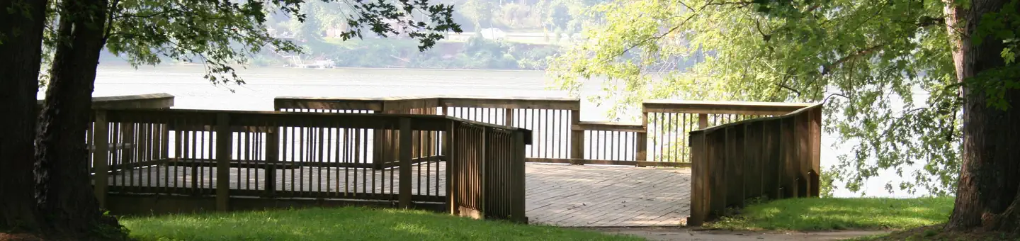
This was once the site of a mill and farmstead. The mill is now gone, but the stone house of its original owner, built in 1846, is still located at the site. The house is on the National Register of Historic Places. It has three camp-sites and a picnic shelter, and is also a canoe access point and near the North Country Trail.
More like this: first-come in Ohio · tent only in Ohio

Site map
5 campsite locations mapped by OpenStreetMap contributors. The site numbers are theirs and may not match the posts at the campground. Map data © OpenStreetMap contributors, ODbL.
Amenities & rules
| Equipment | Tents |
| Fees | Camping Fees: •$10 per night |
Individual sites vary. Confirm on Recreation.gov or with the managing office.
Season & status
| Status | Open |
| Forest | Wayne National Forest |
| Booking | None required. |
| Fees | Camping Fees: •$10 per night |
Weather by month
Getting there
| Coordinates | 39.6082° N, 81.1224° W · Directions ↗ |
Supplies & services
| Outdoor gear | Marietta Adventure Company ↗ | 22.2 mi |
| Dump station | Dump station ↗ | 25.5 mi |
Locations © OpenStreetMap contributors. Call ahead; hours change seasonally.
Explore
Worth a stop
- 10.9 miFrontier Boat Launch ↗Boat launch
- 14.9 miKinderhook Trailhead ↗Trailhead
Trails nearby
- 3.4 miLamping Short Loop0.3 mi trail · hiking
- 3.5 miPlainview Homestead1.7 mi trail · hiking
- 3.5 miLamping Homestead1.9 mi trail · hiking
- 3.5 miPlainview Ghost1.5 mi trail · hiking
- 3.5 miPlainview Horsehoe Falls1.3 mi trail · hiking
- 3.8 miPlainview Schoolhouse0.4 mi trail · hiking
Trail and trailhead records are the Forest Service's. Distances are straight-line to the nearer trail end. Trail conditions are not tracked here.
Other campgrounds nearby



Historic landmarks nearby

Guidebooks for Ohio
We earn a small commission if you buy through these links. It does not change what we list.
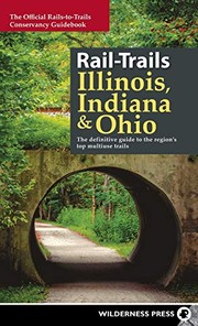
Titles come from Open Library's catalog, matched by subject heading or by title.
Reference
Questions people ask
How much does it cost to camp at Ring Mill Campground?
Camping Fees: •$10 per night
Source: Forest Service
Is Ring Mill Campground open right now?
Open as of Oct 26, 2026.
Source: Forest Service status
Can I bring an RV to Ring Mill Campground?
Ring Mill Campground is listed for tents only.
Source: Forest Service
What if Ring Mill Campground is full?
The nearest public campgrounds are Lamping Homestead Recreation Area (3.9 mi, first-come), Leith Run (11.3 mi), and Lane Farm Campground (17.3 mi, first-come).
Source: Campgrounds nearby