Ojo Redondo Campground
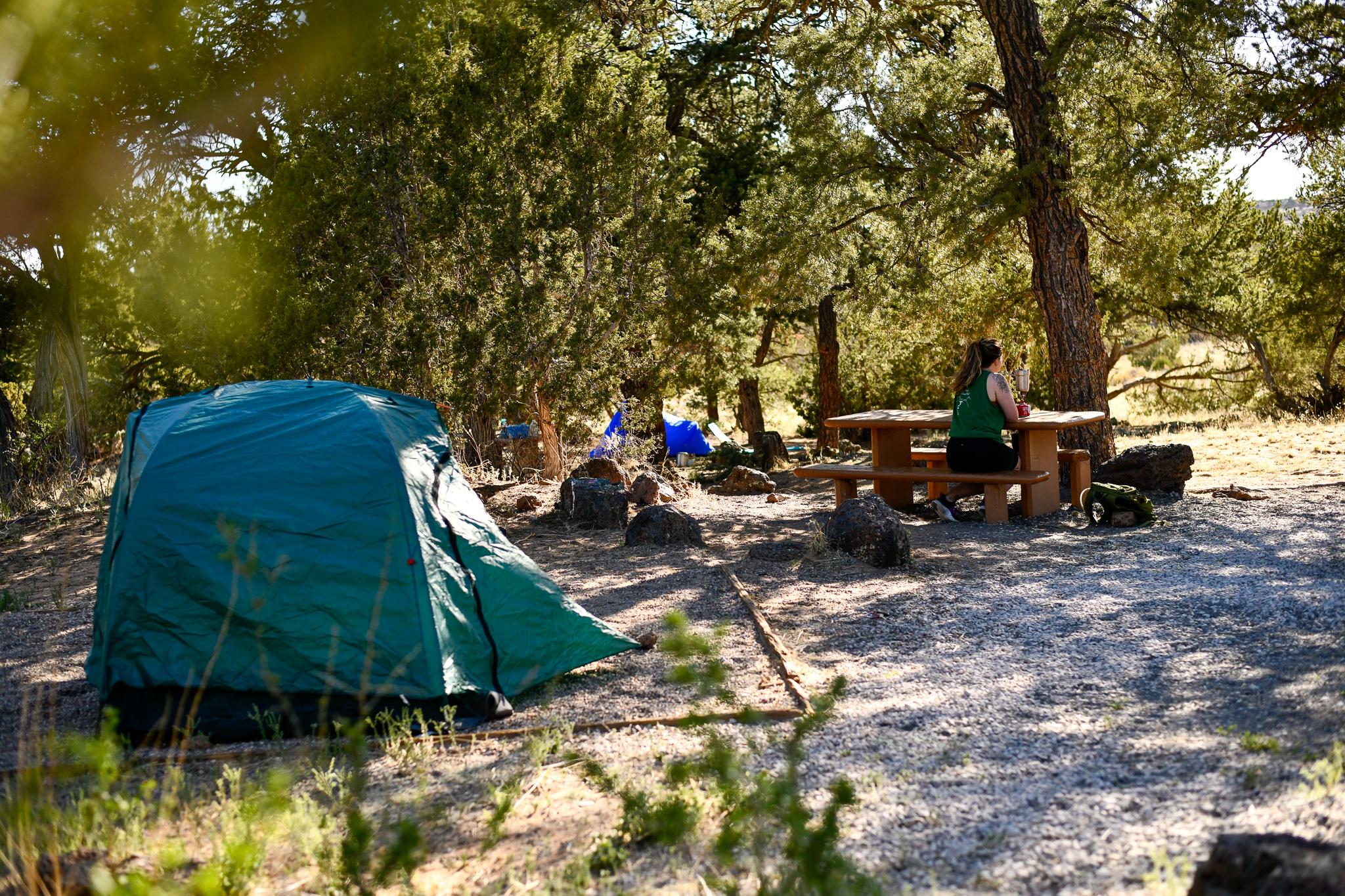
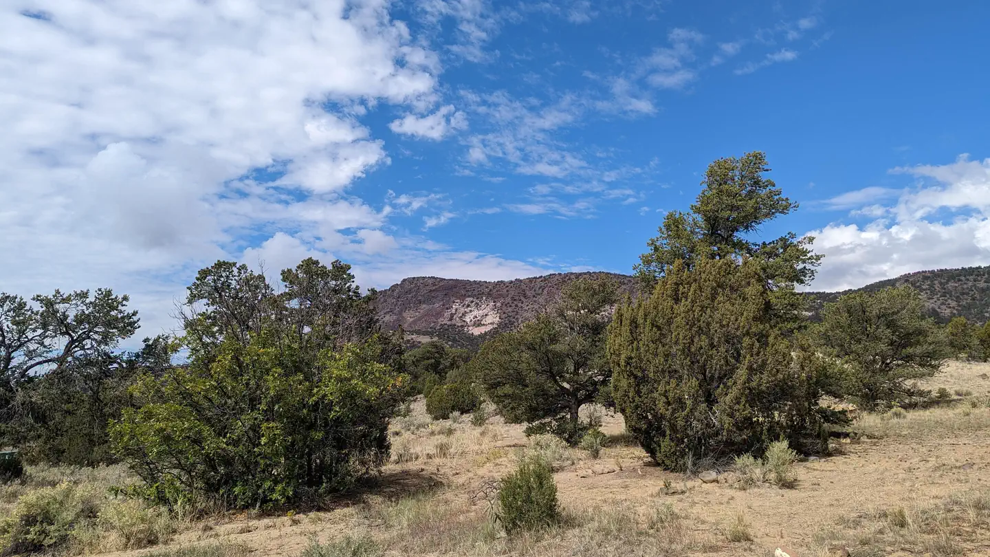
This campground is located southwest of Mt. Sedgwick, the highest peak in the Zuni Mountains. It is situated in ponderosa pine, douglas fir, and aspen trees, with a scenic meadow adjacent to the campground. Be advised of road conditions due to elevation and precipitation.
More like this: first-come in New Mexico · tent only in New Mexico

Amenities & rules
| Equipment | Tents |
Individual sites vary. Confirm on Recreation.gov or with the managing office.
Season & status
| Status | Closed for the season. Forest Service sites close for the season; check the official page for the reopening date. |
| Season | May 15 to October 15 |
| Forest | Cibola National Forest and Grasslands |
Weather by month
Getting there
| Coordinates | 35.1585° N, 108.1085° W · Directions ↗ |
Supplies & services
| Dump station | Dump station ↗ | 10.1 mi |
Locations © OpenStreetMap contributors. Call ahead; hours change seasonally.
Explore
Trails nearby
- 2.3 miMotorized 331 ↗1.9 mi trail · hiking, horse, bike, ATV and 1 more
- 3 miMotorized 332 ↗4.7 mi trail · hiking, horse, bike, ATV and 1 more
- 3.7 miMotorized 337 ↗2.4 mi trail · hiking, horse, bike, ATV and 1 more
- 3.8 miMotorized 333 ↗2.9 mi trail · hiking, horse, bike, ATV and 1 more
- 4.1 miMotorized 338 ↗1 mi trail · hiking, horse, bike, ATV and 1 more
- 4.7 miMotorized 339 ↗0.1 mi trail · hiking, horse, bike, ATV and 1 more
Trail and trailhead records are the Forest Service's. Distances are straight-line to the nearer trail end. Trail conditions are not tracked here.
Public land it sits in
El Malpais National Conservation Area begins about 10.9 miles away, and it is the closest of these.
- 10.9 miEl Malpais National Conservation Area ↗National Conservation Area · Bureau of Land Management · 263,107 acres
Each unit is published as a centre point and an acreage rather than a boundary, so this section stands it in for a circle of the same area. Whether a campground is inside, and how far it is from one it is outside, are both approximate.
Other campgrounds nearby

On the National Register nearby
- Bowlin's Old Crater Trading PostBuilding · Bluewater · 11.1 mi
- Grants-Milan Flight Service StationBuilding · Grants · 11.9 mi
- Charley's Automotive ServiceBuilding · Grants · 13.8 mi
Guidebooks for New Mexico
We earn a small commission if you buy through these links. It does not change what we list.
Titles come from Open Library's catalog, matched by subject heading or by title.
Reference
Questions people ask
Is Ojo Redondo Campground open right now?
Closed for the season as of Oct 26, 2026. Season May 15 to October 15.
Source: Forest Service status
Can I bring an RV to Ojo Redondo Campground?
Ojo Redondo Campground is listed for tents only.
Source: Forest Service
What if Ojo Redondo Campground is full?
The nearest public campgrounds are El Morro Campground (15.4 mi, first-come), Coal Mine (23.6 mi), and Mcgaffey Campground (27.6 mi, first-come).
Source: Campgrounds nearby