Little Rock Pond/Green Mountain Loop
The Green Mountain Connector Trail, found across the road and slightly west of the parking lot, heads southwest for 0.6 miles to its junction with the Green Mountain Trail. Follow the blue blazes. From here the trail ascends, following old woods roads for the next mile and leads to the summit of Green Mountain at 2.5 miles. The trail continues along the ridgeline and passes several spur trails that lead to excellent views of the surrounding mountains and Little Rock Pond. Crossing ledges the trail descends steadily to its junction with the Little Rock Pond Loop Trail at the north end of the pond. This trail leads to the Appalachian/Long Trail, in either direction.
More like this: first-come in Vermont · tent only in Vermont

Amenities & rules
| Equipment | Tents |
Individual sites vary. Confirm on Recreation.gov or with the managing office.
Season & status
| Forest | Green Mountain & Finger Lakes National Forests |
| Rules | No horses, mountain bikes, or motorized |
Green Mountain & Finger Lakes National Forests recreation page ↗
Weather by month
Getting there
| Coordinates | 43.4010° N, 72.9573° W · Directions ↗ |
Fire nearby
- WildfireKlondike
44 mi from the campground · 31 acres
Distance is to the reported incident point, not the fire edge. Call the managing office before you drive.
Supplies & services
| Outdoor gear | Gear Haus ↗ | 16.2 mi |
| Dump station | Dump station ↗ | 18.2 mi |
Locations © OpenStreetMap contributors. Call ahead; hours change seasonally.
Explore
Video
Day 125 | Little Rock Pond, Rock Sanctuary and Minerva Shelter | Appalachian Trail Thru Hike 2021
Trails nearby
- 0.1 miGreen Mountain4.3 mi trail · hiking
- 0.2 miHomer Stone Brook0.5 mi trail · hiking, horse, bike
- 0.2 miLittle Rock Pond Loop0.4 mi trail · hiking, horse, bike
- 0.2 miLittle Rock Pond Shelter At/LTunder 0.1 mi trail · hiking, horse, bike
- 0.6 miHomer Stone Snowmobile1.4 mi trail · snowmobile, snowshoe, ski
- 1.6 miHomer Stone/Wallingford Connec0.5 mi trail · snowmobile, snowshoe, ski
Trail and trailhead records are the Forest Service's. Distances are straight-line to the nearer trail end. Trail conditions are not tracked here.
Public land it sits in
This campground sits inside Green Mountain and Finger Lakes National Forests.
- inGreen Mountain and Finger Lakes National Forests ↗National Forest · Forest Service · 854,081 acres
- 3.5 miBig Branch Wilderness ↗Wilderness · Forest Service · 6,725 acres
- 5 miPeru Peak Wilderness ↗Wilderness · Forest Service · 7,824 acres
Each unit is published as a centre point and an acreage rather than a boundary, so this section stands it in for a circle of the same area. Whether a campground is inside, and how far it is from one it is outside, are both approximate.
Other campgrounds nearby

Historic landmarks nearby


Guidebooks for Vermont
We earn a small commission if you buy through these links. It does not change what we list.
Titles come from Open Library's catalog, matched by subject heading or by title.
Reference
Questions people ask
Can I bring an RV to Little Rock Pond/Green Mountain Loop?
Little Rock Pond/Green Mountain Loop is listed for tents only.
Source: Forest Service
What if Little Rock Pond/Green Mountain Loop is full?
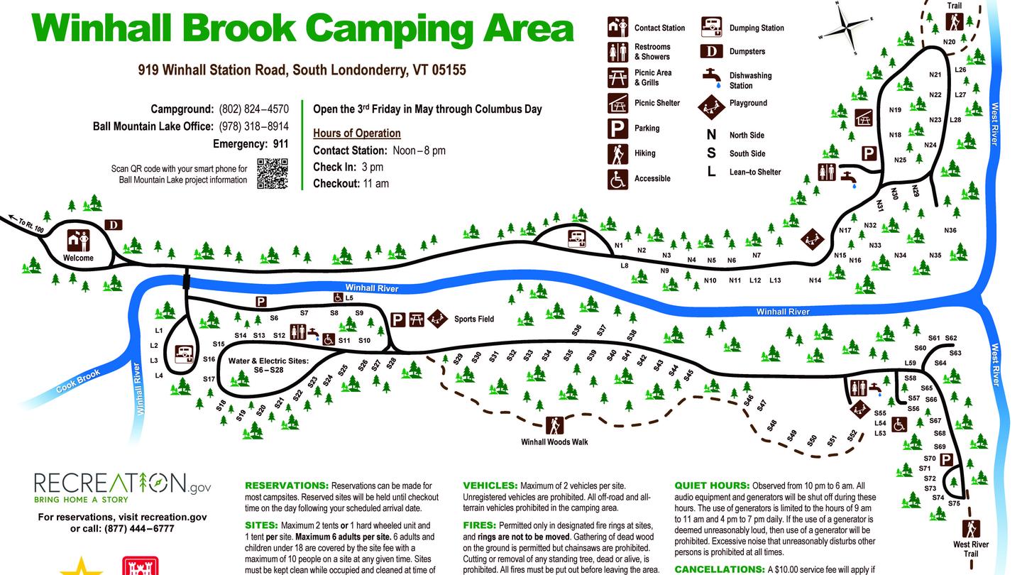
The nearest public campgrounds are Greendale Campground (7.7 mi), Hapgood Pond (10.7 mi, partly first-come), and Winhall Brook Camping Area (18 mi).
Source: Campgrounds nearby