Rush Creek Campground
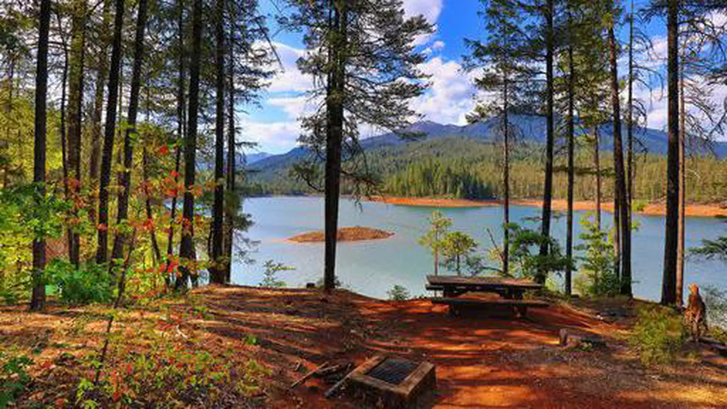
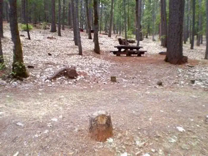
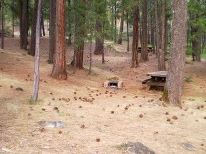
Rush Creek campground is located off of Highway 3, eight miles north of Weaverville. The campground stretches along Rush Creek among Douglas fir, oak and maple. The sound of Rush Creek can be heard throughout the campground. Most campsites are well separated providing good privacy. Fishing is good for brook trout. The campground road and spurs are unpaved. All campsites have fire rings and picnic tables. Some campsites have a Klamath Oven. There is no piped water.
More like this: first-come in California · tent only in California

Amenities & rules
| Equipment | Tents |
| Fees | $10 per day, $6 per day, per additional vehicle |
Individual sites vary. Confirm on Recreation.gov or with the managing office.
Season & status
| Status | Closed for the season. Forest Service sites close for the season; check the official page for the reopening date. |
| Season | May 27 to Sept. 8 |
| Forest | Shasta-Trinity National Forest |
| Fees | $10 per day, $6 per day, per additional vehicle |
Weather by month
Getting there
| Coordinates | 40.8188° N, 122.8973° W · Directions ↗ |
Fire nearby
- PrescribedHayfork Watershed Rx
24 mi from the campground
- PrescribedHayfork Watershed Rx
24 mi from the campground
- PrescribedGore Ranch Rx
32 mi from the campground · 49 acres
- PrescribedHarrison Gulch Broadcast Rx
32 mi from the campground
Distance is to the reported incident point, not the fire edge. Call the managing office before you drive.
Supplies & services
| Outdoor gear | Trinity Outdoors ↗ | 6.9 mi |
| Dump station | Dump station ↗ | 19.8 mi |
| RV sales & service | Cousin Gary RV Center ↗ | 30.4 mi |
Locations © OpenStreetMap contributors. Call ahead; hours change seasonally.
Explore
Worth a stop
- 2.7 mi
- 4.8 mi
- 5.2 mi
- 7 miCooper Gulch Day Use Area ↗Day use
Trails nearby
- 1.2 miRush Creek Lakes ↗6.7 mi trail · hiking, horse
- 2 miLa Grange Ditch4.3 mi trail · hiking, horse, bike
- 2.9 miMusser Homested Loop2.5 mi trail · hiking, horse, bike
- 3.1 miLong Gulch1.4 mi trail · hiking, horse, bike
- 3.3 miSeavy Ditch1.3 mi trail · hiking, horse, bike
- 3.3 miTrinity Lakeshore2.8 mi trail · hiking, horse, bike
Trail and trailhead records are the Forest Service's. Distances are straight-line to the nearer trail end. Trail conditions are not tracked here.
Public land it sits in
This campground sits inside Shasta-Trinity National Forest.
- inShasta-Trinity National Forest ↗National Forest · Forest Service · 2,715,499 acres
- 1.4 miTrinity Alps Wilderness ↗Wilderness · Forest Service · 537,357 acres
- 11.4 miSix Rivers National Forest ↗National Forest · Forest Service · 1,273,949 acres
Each unit is published as a centre point and an acreage rather than a boundary, so this section stands it in for a circle of the same area. Whether a campground is inside, and how far it is from one it is outside, are both approximate.
Other campgrounds nearby

On the National Register nearby
- Bowerman BarnBuilding · Trinity Center · 8.8 mi
- Lewiston Historic DistrictHistoric district · Lewiston · 9 mi
Guidebooks for California
We earn a small commission if you buy through these links. It does not change what we list.
Titles come from Open Library's catalog, matched by subject heading or by title.
Reference
Questions people ask
Do I need a reservation at Rush Creek Campground?
No. Rush Creek Campground is first-come, first-served. Sites are taken on arrival and paid at the fee station.
Source: Forest Service
How much does it cost to camp at Rush Creek Campground?
$10 per day, $6 per day, per additional vehicle
Source: Forest Service
Is Rush Creek Campground open right now?
Closed for the season as of Oct 26, 2026. Season May 27 to Sept. 8.
Source: Forest Service status
Can I bring an RV to Rush Creek Campground?
Rush Creek Campground is listed for tents only.
Source: Forest Service
What if Rush Creek Campground is full?
The nearest public campgrounds are Tannery (2.9 mi), Stoney Point Campground (2.9 mi, first-come), and Fawn (3.3 mi).
Source: Campgrounds nearby