Hazlett Hollow Campground
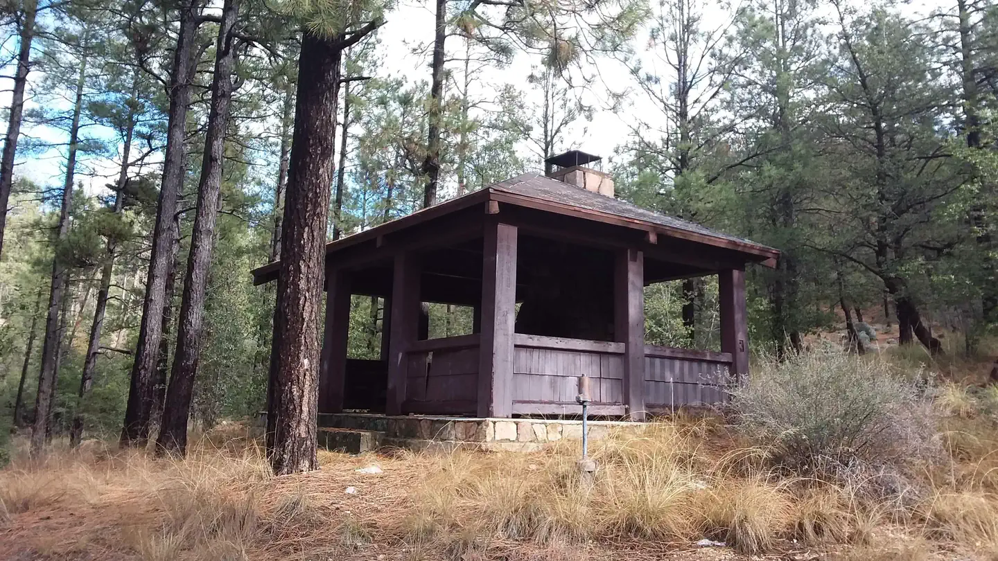
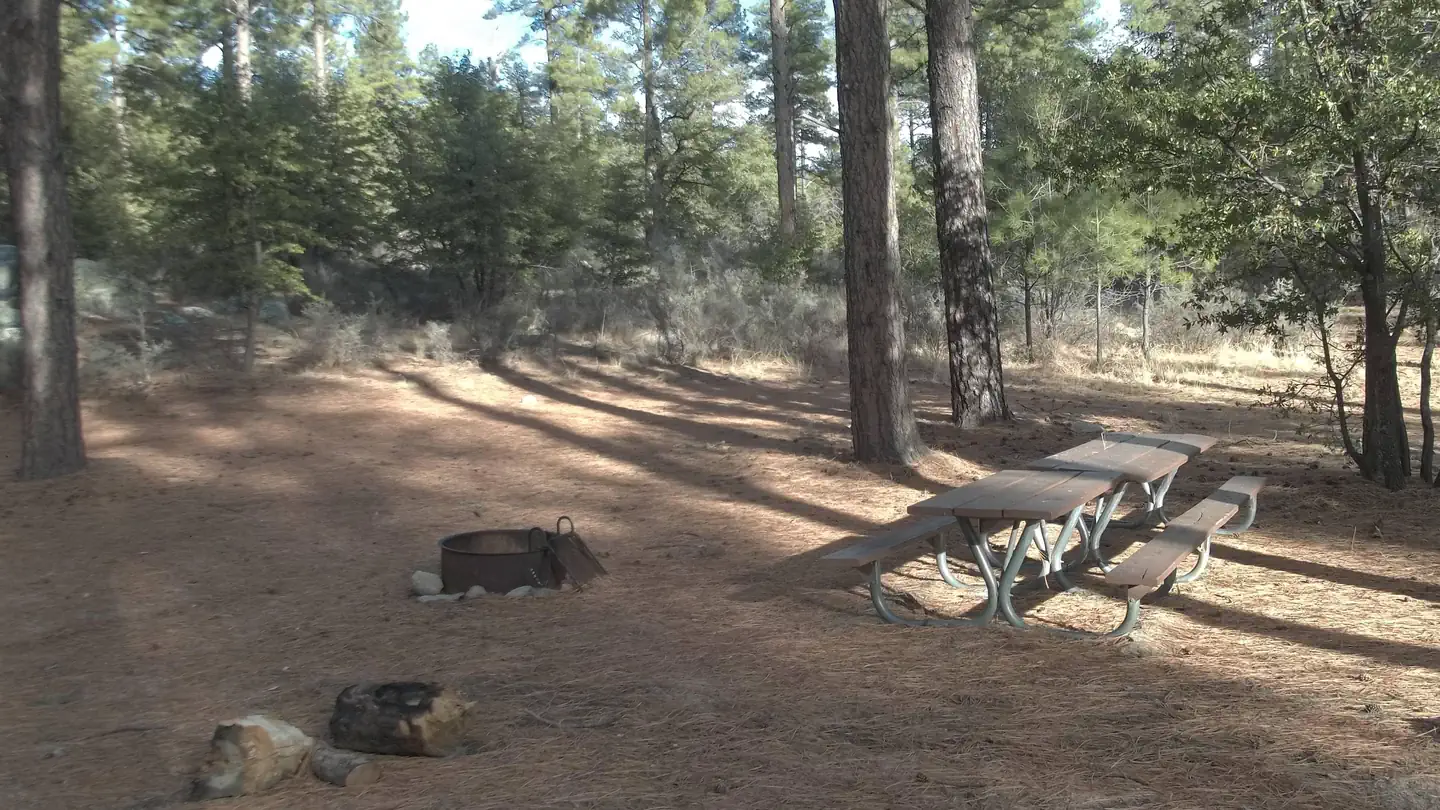
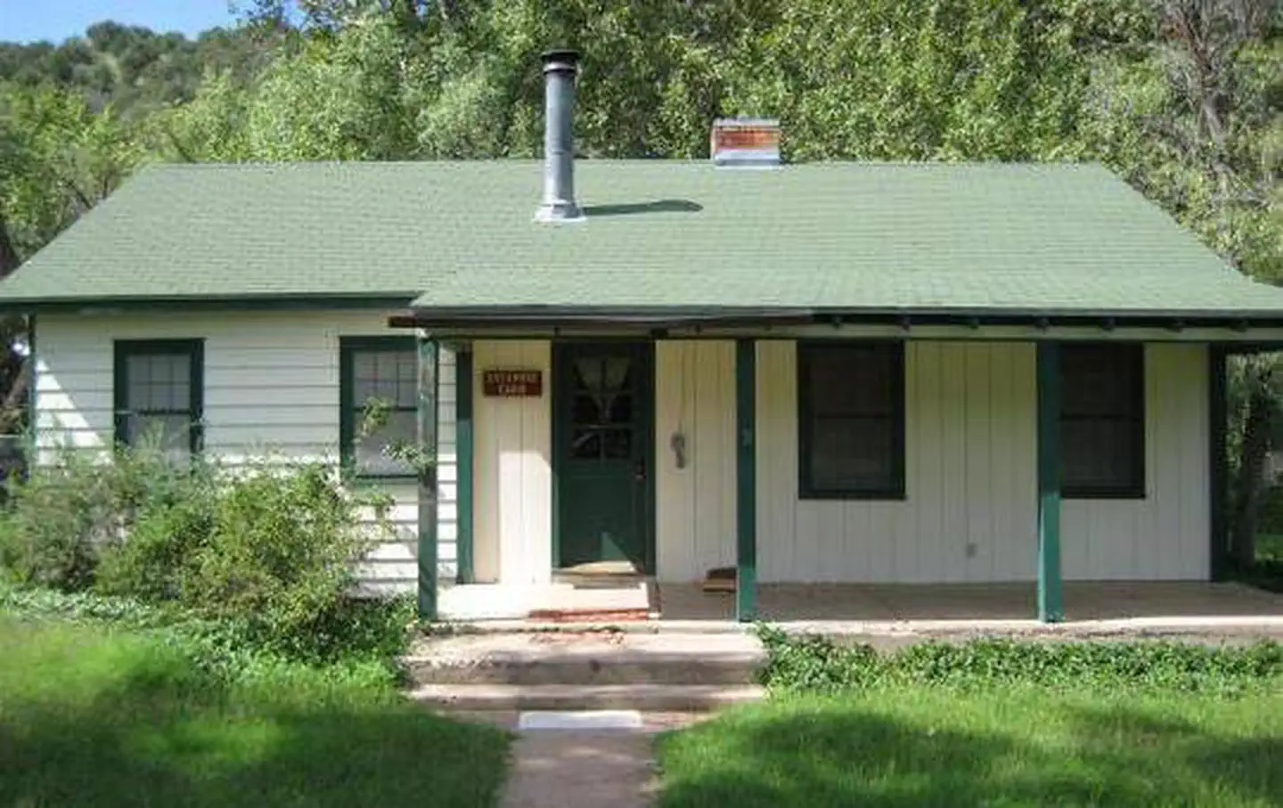
This is a relatively small, semi-primitive campground in the southern end of the Bradshaw Mountains in the Horsethief Basin Area. Ponderosa pine is the dominant vegetation type in the area. One of the most attractive and well-developed campgrounds in the southern Bradshaws. Most of the walls and walks throughout the campground were built of stone during the 1930s by the Civil Conservation Corp (CCC). This site may close early or open late, depending on snowfall. History of Hazlett Hollow Campground, researched and compiled by AARCHER, Inc. (1,523 KB PDF). 15 campsites with picnic tables, and grills. 3-sided wooden camping shelters with concrete floors at each site.
More like this: first-come in Arizona · free in Arizona · tent only in Arizona

Amenities & rules
| Equipment | Tents |
| Fees | No fee. Please pack out your garbage. Thank you! |
Individual sites vary. Confirm on Recreation.gov or with the managing office.
Season & status
| Forest | Prescott National Forest |
| Fees | No fee. Please pack out your garbage. Thank you! |
| Rules | Check-in after 2:00 p.m./Check-out by 12:00 noon. Quiet hours between 10 p.m. and 6 a.m. Campfires in developed fire pits only. Fireworks are prohibited. Dogs must be on leash (6' maximum). OHV/ATV use prohibited in the campground. Maximum length of stay: 14 days in 30-day period on the Prescott National Forest including stays at dispersed recreation sites. |
Weather by month
Getting there
| Coordinates | 34.1701° N, 112.2854° W · Directions ↗ |
Fire nearby
- PrescribedRx Misc District Piles Tnf0106P
47 mi from the campground
Distance is to the reported incident point, not the fire edge. Call the managing office before you drive.
Supplies & services
| Dump station | Dump station ↗ | 21.4 mi |
| Outdoor gear | REI ↗ | 27.5 mi |
| RV sales & service | Little Dealer Little Prices ↗ | 28.6 mi |
Locations © OpenStreetMap contributors. Call ahead; hours change seasonally.
Explore
Video
Hazlett Hollow Campground
Worth a stop
- 11.1 miBlack Canyon City Trailhead ↗Trailhead
- 11.4 mi
Trails nearby
- 0.5 miTwin Peaks ↗6.8 mi trail · hiking, horse
- 0.6 miKentuck1.2 mi trail · hiking, horse, bike
- 0.7 miHorsethief Lookout2.1 mi trail · hiking, horse, bike
- 0.8 miHorsethief Canyon2.5 mi trail · hiking, horse
- 1 miHorsethief Recreation3.2 mi trail · hiking, horse, bike
- 1.1 miTip Top2.3 mi trail · hiking, horse, bike, motorcycle and 2 more
Trailheads within three miles
- 0.6 miKentuck Springs Trailhead ↗Prescott National Forest
Trail and trailhead records are the Forest Service's. Distances are straight-line to the nearer trail end. Trail conditions are not tracked here.
Public land it sits in
This campground sits inside Castle Creek Wilderness.
- inCastle Creek Wilderness ↗Wilderness · Forest Service · 25,457 acres
- 7.5 miAgua Fria ↗National Conservation Lands unit · Bureau of Land Management · 72,510 acres
- 13.1 miPrescott National Forest ↗National Forest · Forest Service · 1,411,550 acres
Each unit is published as a centre point and an acreage rather than a boundary, so this section stands it in for a circle of the same area. Whether a campground is inside, and how far it is from one it is outside, are both approximate.
Other campgrounds nearby

Cabin and lookout rentals nearby
On the National Register nearby
- Crown King Ranger StationBuilding · Crown King · 4.1 mi
Guidebooks for Arizona
We earn a small commission if you buy through these links. It does not change what we list.
- Best Backpacking Trips in Utah, Arizona, and New MexicoMike White and Douglas Lorain, 2016Find at Bookshop.org
Titles come from Open Library's catalog, matched by subject heading or by title.
Reference
Questions people ask
Do I need a reservation at Hazlett Hollow Campground?
No. Hazlett Hollow Campground is first-come, first-served. Sites are taken on arrival and paid at the fee station.
Source: Forest Service
How much does it cost to camp at Hazlett Hollow Campground?
Nothing. Hazlett Hollow Campground is listed as free. No fee.
Source: Forest Service
How many sites does Hazlett Hollow Campground have?
15 sites.
Source: Forest Service
Can I bring an RV to Hazlett Hollow Campground?
Hazlett Hollow Campground is listed for tents only.
Source: Forest Service
What if Hazlett Hollow Campground is full?
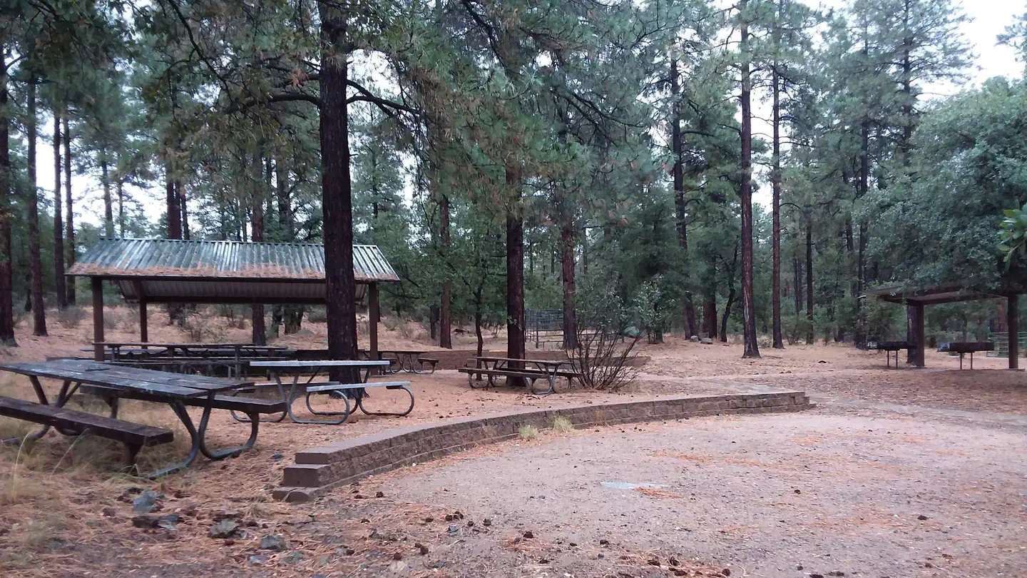
The nearest public campgrounds are Turney Gulch Group (0.3 mi), Upper Wolf Creek Group (21.9 mi), and Lower Wolf Creek Campground (22 mi, first-come).
Source: Campgrounds nearby