Powell Springs Campground
A historic campground built by the CCC, Powell Springs is flanked by Hackberry Wash, a seasonal creek. Ponderosa pines provide shade in the campground, and riparian vegetation grows along the wash. Note: This site closes following especially heavy rain or snow, and when the roads are too icy. If you plan to visit and want to make sure it is open, please contact the Verde Ranger Station: 928-567-4121. 11 campsites. 12 picnic tables. 2 fireplaces. 9 fire pits.
More like this: first-come in Arizona · tent only in Arizona

Amenities & rules
| Equipment | Tents |
Individual sites vary. Confirm on Recreation.gov or with the managing office.
Season & status
| Season | Year-round |
| Forest | Prescott National Forest |
| Rules | Quiet hours between 10 p.m. and 6 a.m. Check-in after 2:00 p.m./Check-out by 12:00 noon. Campfires in developed fire pits only. Fireworks are prohibited. Dogs must be on leash (6' maximum). OHV/ATV use prohibited in the campground. Maximum length of stay: 14 days in 30-day period on the Prescott National Forest including stays at dispersed recreation sites. |
Weather by month
Getting there
| Coordinates | 34.5781° N, 112.0677° W · Directions ↗ |
Fire nearby
- PrescribedFrog Tank 2 Piles Rx
35 mi from the campground
- PrescribedNewman Piles Rx
38 mi from the campground · 751 acres
- PrescribedNewman 2 Piles Rx
38 mi from the campground · 723 acres
- PrescribedCy26 Wrd-Northside Piles Rx
49 mi from the campground · 165 acres
Distance is to the reported incident point, not the fire edge. Call the managing office before you drive.
Supplies & services
| Dump station | Dump station ↗ | 12.4 mi |
| RV sales & service | Little Dealer Little Prices ↗ | 13.9 mi |
| Outdoor gear | REI ↗ | 21.2 mi |
Locations © OpenStreetMap contributors. Call ahead; hours change seasonally.
No site-by-site records, no fee schedule, no directions or photos in the Recreation.gov record. What is here comes from the agency's own listing. The rest lives there.
Checked nightly. Modules appear as soon as the record fills in.
Explore
Worth a stop
- 7 mi
- 10 mi
- 10.2 miWoodchute Trailhead ↗Trailhead
- 12.5 miWhite Bridge Picnic Site ↗Day use
Trails nearby
- 2.4 miMedlar Springs0.4 mi trail · hiking, horse, bike
- 2.5 miAsh Creek2.4 mi trail · hiking, horse, bike
- 3.9 miBlue Monster Wash1.3 mi trail · hiking, horse, bike, ATV and 1 more
- 4.1 miSand Wash4.3 mi trail · hiking, horse, bike, ATV and 1 more
- 4.2 miGeneral Crook ↗11.4 mi trail · hiking, horse, bike
- 4.4 miSheep2.5 mi trail · hiking, horse, bike
Trail and trailhead records are the Forest Service's. Distances are straight-line to the nearer trail end. Trail conditions are not tracked here.
Public land it sits in
Coconino National Forest begins about 5.5 miles away, and it is the closest of these.
- 5.5 miCoconino National Forest ↗National Forest · Forest Service · 2,000,952 acres
- 9.8 miPrescott National Forest ↗National Forest · Forest Service · 1,411,550 acres
- 12.2 miWoodchute Wilderness ↗Wilderness · Forest Service · 5,887 acres
Each unit is published as a centre point and an acreage rather than a boundary, so this section stands it in for a circle of the same area. Whether a campground is inside, and how far it is from one it is outside, are both approximate.
Other campgrounds nearby

Cabin and lookout rentals nearby
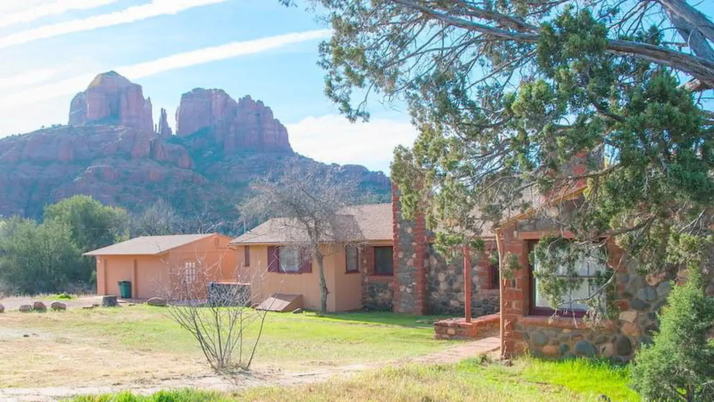
Historic landmarks nearby

Guidebooks for Arizona
We earn a small commission if you buy through these links. It does not change what we list.
- Best Backpacking Trips in Utah, Arizona, and New MexicoMike White and Douglas Lorain, 2016Find at Bookshop.org
Titles come from Open Library's catalog, matched by subject heading or by title.
Reference
Questions people ask
Do I need a reservation at Powell Springs Campground?
No. Powell Springs Campground is first-come, first-served. Sites are taken on arrival and paid at the fee station.
Source: Forest Service
How many sites does Powell Springs Campground have?
11 sites.
Source: Forest Service
Can I bring an RV to Powell Springs Campground?
Powell Springs Campground is listed for tents only.
Source: Forest Service
What if Powell Springs Campground is full?
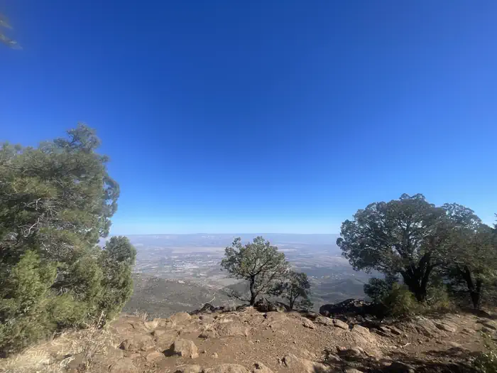
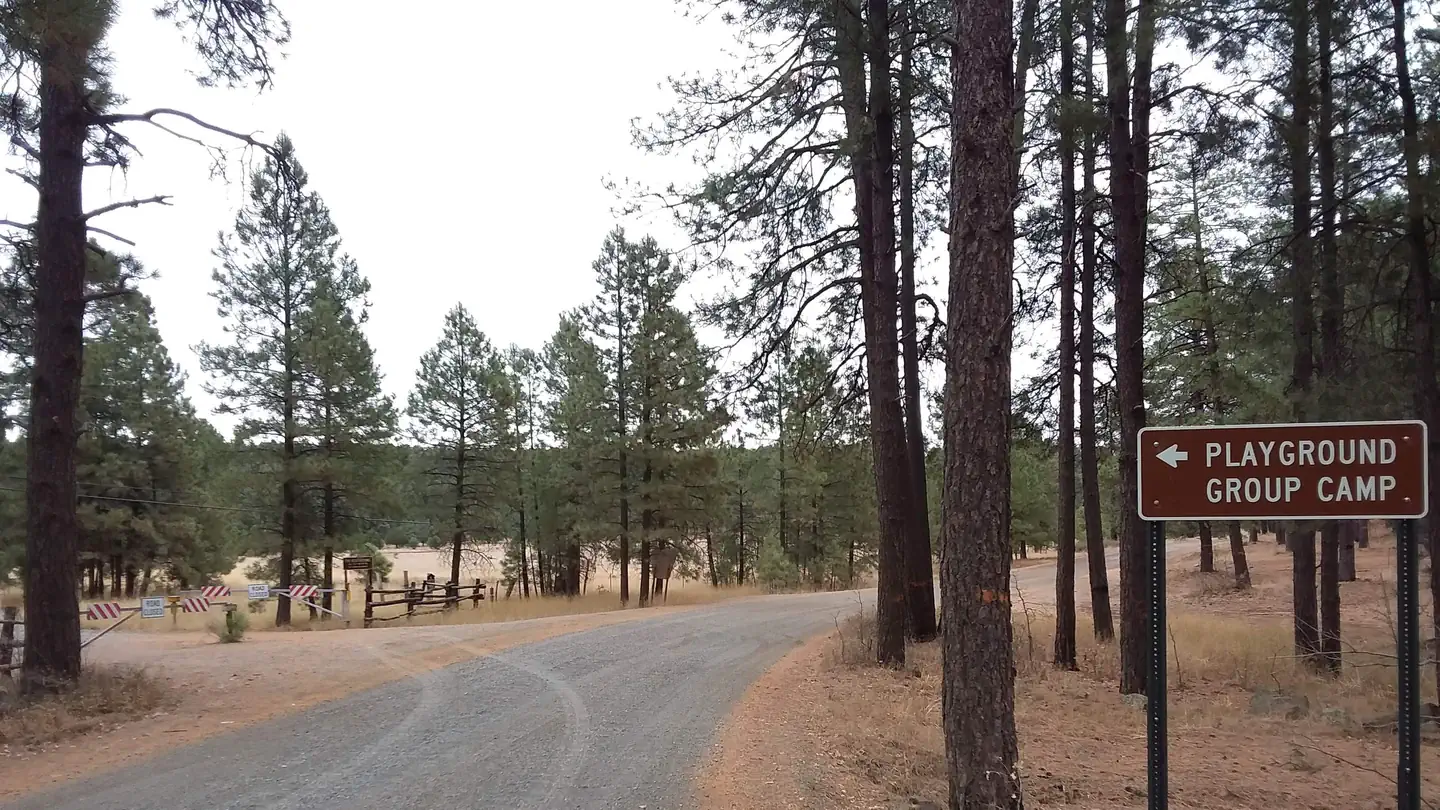
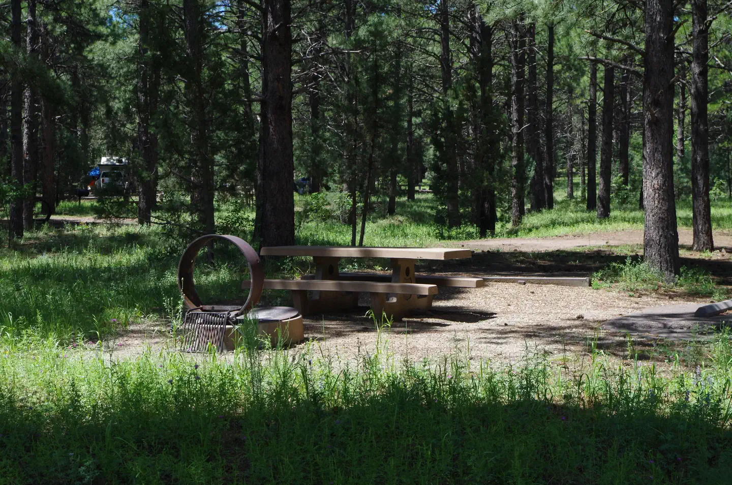
The nearest public campgrounds are Mingus Mountain Campground And Group Site (8.5 mi), Playground Group (9.2 mi), and Potato Patch Campground (10.3 mi).
Source: Campgrounds nearby