Bartoo Island Group Site/Campgrounds
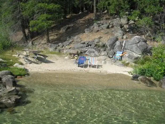
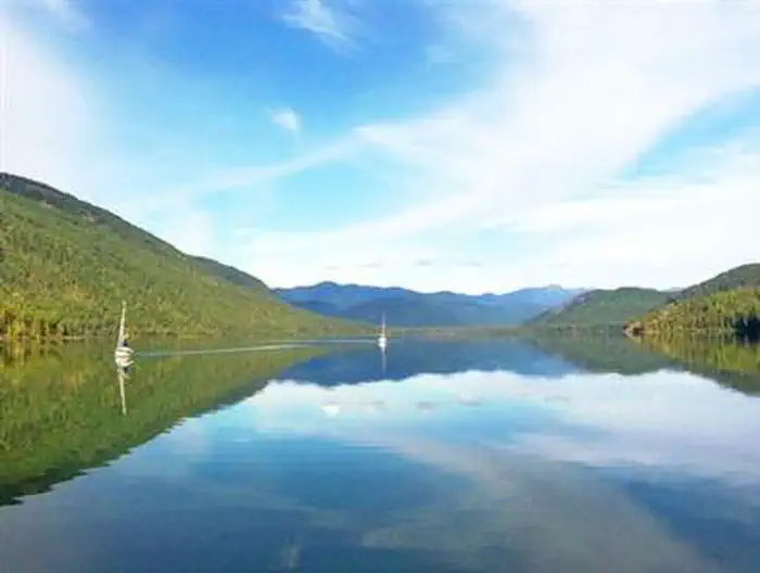
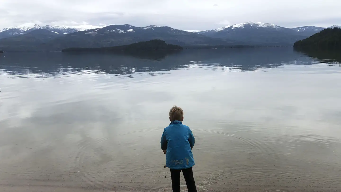
Bartoo Island Group Site. This group campsite, also known as Sunrise Group Site, is a rustic group camping area on Bartoo Island, only reachable by boat. Surrounded by the clear waters of Priest Lake, Bartoo Island Group site provides the ideal getaway for groups of 10 to 30 people, looking for a rugged, but highly rewarding camping experience on the peaceful shores of Priest Lake. Natural Features: Priest Lake spans 25,000-acres of incredible beauty, fed primarily by the waters of the Priest River.
Some sites take reservations on Recreation.gov. Others are first-come, first-served.
More like this: first-come in Idaho · reservable in Idaho · tent only in Idaho · accessible sites in Idaho
Check availability on Recreation.gov ↗
Amenities & rules
| Equipment | Tents |
| Accessibility | Accessible boat ramp within 10 miles |
Individual sites vary. Confirm on Recreation.gov or with the managing office.
Season & status
| Season | Late May to Late October |
| Forest | Idaho Panhandle National Forests |
| Booking | There is a mix of first-come-first serve and reservation sites. Check the status of sites and make reservations at Recreation.gov. |
| Rules | Pets must be leashed at all times. No glass bottles are allowed on the beaches. No bathing or washing dishes in the lake. Quiet hours are from 10 p.m. to 6 a.m. No fireworks. 14 day camping limit. Maximum of 10 people per site Check-out time is 2:00 p.m Campsite must be occupied first night. |
Weather by month
Getting there
| Coordinates | 48.5439° N, 116.8789° W · Directions ↗ |
Fire nearby
- PrescribedD8 Rx Misc Pile Burn
2 mi from the campground · 1 acres
- PrescribedNp Rx - High Noon Stewardship
26 mi from the campground
- PrescribedSl Rx - Lost Creek Stewardship
29 mi from the campground
- PrescribedD6 Rx Hoodoo Roadside Piles
35 mi from the campground
Distance is to the reported incident point, not the fire edge. Call the managing office before you drive.
Supplies & services
| Dump station | Dump station ↗ | 5.6 mi |
| Outdoor gear | North 40 ↗ | 22.3 mi |
| RV sales & service | Kootenay RV ↗ | 43 mi |
Locations © OpenStreetMap contributors. Call ahead; hours change seasonally.
Explore
Trails nearby
- 1.2 miBulldog Point2 mi trail · hiking, horse, bike
- 1.6 miKalispell Island a Spur0.2 mi trail · hiking, horse, bike
- 1.7 miKalispell Island2.5 mi trail · hiking, horse, bike
- 2 miWoodrat ↗5.3 mi trail · hiking, horse, bike
- 2.4 miBeach ↗6 mi trail · hiking, horse, bike
- 2.6 miKalispell - Reeder Bay4.3 mi trail · hiking, horse, bike, motorcycle
Trail and trailhead records are the Forest Service's. Distances are straight-line to the nearer trail end. Trail conditions are not tracked here.
Public land it sits in
Idaho Panhandle National Forests begins about 13.8 miles away, and it is the closest of these.
- 13.8 miIdaho Panhandle National Forests ↗National Forest · Forest Service · 2,943,333 acres
Each unit is published as a centre point and an acreage rather than a boundary, so this section stands it in for a circle of the same area. Whether a campground is inside, and how far it is from one it is outside, are both approximate.
Other campgrounds nearby
On the National Register nearby
- Lamb Creek SchoolBuilding · Priest River · 3 mi
- Vinther and Nelson CabinBuilding · Coolin · 3.1 mi
- Michael and Myra Donohue HouseBuilding · Eastsound · 11.2 mi
Guidebooks for Idaho
We earn a small commission if you buy through these links. It does not change what we list.
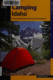
Titles come from Open Library's catalog, matched by subject heading or by title.
Reference
Questions people ask
Do I need a reservation at Bartoo Island Group Site/Campgrounds?
For some sites. Some sites take reservations on Recreation.gov. Others are first-come, first-served.
Source: Recreation.gov
Can I bring an RV to Bartoo Island Group Site/Campgrounds?
Bartoo Island Group Site/Campgrounds is listed for tents only.
Source: Recreation.gov
Are there accessible sites at Bartoo Island Group Site/Campgrounds?
Accessible boat ramp within 10 miles.
Source: Recreation.gov
What if Bartoo Island Group Site/Campgrounds is full?
The nearest public campgrounds are Bartoo Island Boat-In Campground (0.8 mi), Kalispell Island Boat-In Campground (1.5 mi), and Kalispell Island Group Site and other Campgrounds (1.9 mi, partly first-come).
Source: Campgrounds nearby