Mill Pond Campground
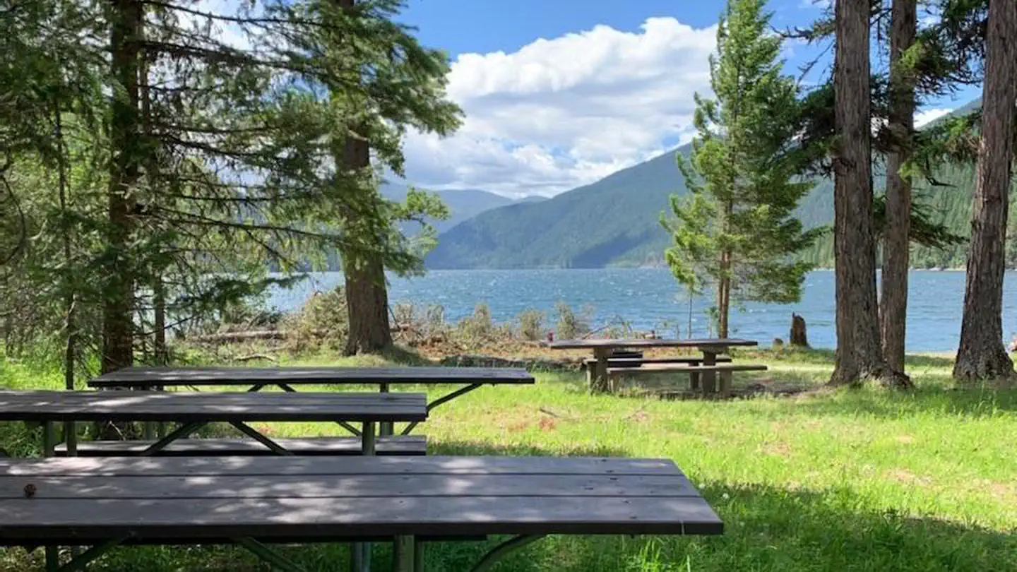
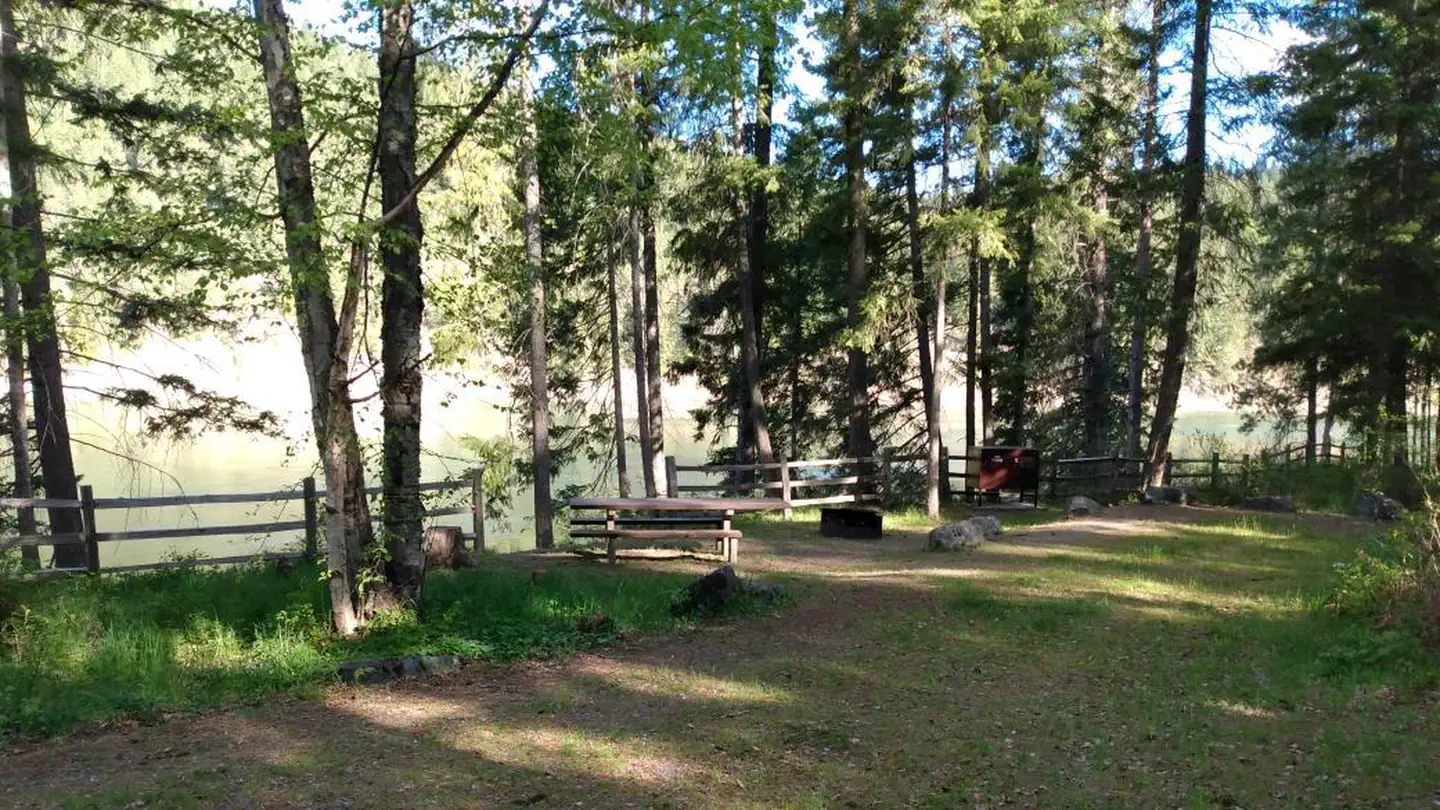
This lies along Sullivan Creek and offers great opportunities for hiking on a looped trail system and connects to Mill Pond Historic Site. The Sullivan Creek Trail #565 connects the campground with the Mill Pond Flume Trail #520, Floodplain Trail #523, Elk Creek Trail #560, and Mill Pond Historic Site.
More like this: first-come in Washington · tent only in Washington

Amenities & rules
| Equipment | Tents |
| Fees | Camping: $29/single site. Extra vehicle: none. Day use: $10 |
Individual sites vary. Confirm on Recreation.gov or with the managing office.
Season & status
| Status | Closed for the season. Forest Service sites close for the season; check the official page for the reopening date. |
| Season | May 24 to Labor Day Weekend |
| Forest | Colville National Forest |
| Fees | Camping: $29/single site. Extra vehicle: none. Day use: $10 |
| Rules | Washington state fishing license required. Quiet hours between 10 p.m. and 6 a.m. Campfire in developed fire ring only. Fireworks are prohibited. Pets must be on leash. OHV use prohibited in the campground. Maximum length of stay: 14 days. Food and wildlife attractants must be properly stored at all times |
Weather by month
Getting there
| Coordinates | 48.8542° N, 117.2906° W · Directions ↗ |
Fire nearby
- PrescribedSl Rx - Lost Creek Stewardship
16 mi from the campground
- PrescribedNp Rx - High Noon Stewardship
19 mi from the campground
- PrescribedD8 Rx Misc Pile Burn
27 mi from the campground · 1 acres
- PrescribedLpr Rx - Paulke
32 mi from the campground · 331 acres
Distance is to the reported incident point, not the fire edge. Call the managing office before you drive.
Supplies & services
| Dump station | Dump station ↗ | 26.6 mi |
| Outdoor gear | Anacortes Telescope & Wild Bird ↗ | 35.4 mi |
| RV sales & service | Kootenay RV ↗ | 39.3 mi |
Locations © OpenStreetMap contributors. Call ahead; hours change seasonally.
Explore
Trails nearby
- under 0.1 miSullivan Creek2.5 mi trail · hiking, horse, bike
- 0.1 miRed Bluff ↗5.2 mi trail · hiking, horse, bike · national_scenic_or_historic
- 0.2 miSouth Mill Pond0.5 mi trail · hiking, horse, bike
- 0.3 miElk Creek2.1 mi trail · hiking, horse, bike
- 0.7 miMill Pond Flume0.5 mi trail · hiking, horse, bike
- 1 miLakeshore Campground Spur ↗0.5 mi trail · hiking, horse, bike
Trailheads within three miles
- 2.7 miSullivan Mountain Trailhead ↗Colville National Forest
Trail and trailhead records are the Forest Service's. Distances are straight-line to the nearer trail end. Trail conditions are not tracked here.
Public land it sits in
This campground sits inside Salmo-Priest Wilderness.
- inSalmo-Priest Wilderness ↗Wilderness · Forest Service · 41,307 acres
- 13.3 miColville National Forest ↗National Forest · Forest Service · 1,752,994 acres
Each unit is published as a centre point and an acreage rather than a boundary, so this section stands it in for a circle of the same area. Whether a campground is inside, and how far it is from one it is outside, are both approximate.
Other campgrounds nearby
On the National Register nearby
- Washington HotelBuilding · Metaline Falls · 3.6 mi
- Pend Oreille Mines and Metals BuildingBuilding · Metaline Falls · 3.8 mi
- Lewis P. Larson HouseBuilding · Metaline Falls · 3.9 mi
Guidebooks for Washington
We earn a small commission if you buy through these links. It does not change what we list.
Titles come from Open Library's catalog, matched by subject heading or by title.
Reference
Questions people ask
Do I need a reservation at Mill Pond Campground?
No. Mill Pond Campground is first-come, first-served. Sites are taken on arrival and paid at the fee station.
Source: Forest Service
How much does it cost to camp at Mill Pond Campground?
Camping: $29/single site. Extra vehicle: none. Day use: $10
Source: Forest Service
Is Mill Pond Campground open right now?
Closed for the season as of Oct 26, 2026. Season May 24 to Labor Day Weekend.
Source: Forest Service status
Can I bring an RV to Mill Pond Campground?
Mill Pond Campground is listed for tents only.
Source: Forest Service
What if Mill Pond Campground is full?
The nearest public campgrounds are West Sullivan (0.5 mi, partly first-come), East Sullivan (0.6 mi), and Noisy Creek (4.9 mi, partly first-come).
Source: Campgrounds nearby