Turner Flat Campground
Turner Flat Campground features 10 camp units, 1 group camping area to accomodate up to 15 people, potable water (June-October), vault toilets, and day use area. Please observe the Pack it In Pack it Out refuse policy. Attractions include the St. Joe Wild and Scenic River, fishing, and tubing/floating until mid-July.
More like this: first-come in Idaho · tent only in Idaho

Amenities & rules
| Equipment | Tents |
Individual sites vary. Confirm on Recreation.gov or with the managing office.
Season & status
| Season | Memorial Day to November 4 |
| Forest | Idaho Panhandle National Forests |
Weather by month
Getting there
| Coordinates | 47.2366° N, 115.6543° W · Directions ↗ |
Fire nearby
- WildfireNugget Hill
5 mi from the campground · 70 acres
- PrescribedRx D5 Ablt Block #4
22 mi from the campground · 75 acres
- PrescribedRx D5 2 Short #18
26 mi from the campground · 16 acres
- PrescribedRx Pln Green Calico
42 mi from the campground
Distance is to the reported incident point, not the fire edge. Call the managing office before you drive.
Supplies & services
| Dump station | Dump station ↗ | 6.2 mi |
Locations © OpenStreetMap contributors. Call ahead; hours change seasonally.
No site-by-site records, no fee schedule, no directions or photos in the Recreation.gov record. What is here comes from the agency's own listing. The rest lives there.
Checked nightly. Modules appear as soon as the record fills in.
Explore
Trails nearby
- 0.3 miAllen Ridge3.7 mi trail · hiking, horse, bike
- 1.9 miTurner Peak ↗5.6 mi trail · hiking, horse, bike, motorcycle and 1 more
- 2.2 miSkookum Creek ↗7.1 mi trail · hiking, horse, bike
- 3.1 miBernier Creek ↗4.7 mi trail · hiking, horse, bike
- 3.1 miBootleg OHV4.2 mi trail · hiking, horse, bike, motorcycle and 2 more
- 3.6 miLegwash OHV1.4 mi trail · hiking, horse, bike, motorcycle and 2 more
Trail and trailhead records are the Forest Service's. Distances are straight-line to the nearer trail end. Trail conditions are not tracked here.
Other campgrounds nearby

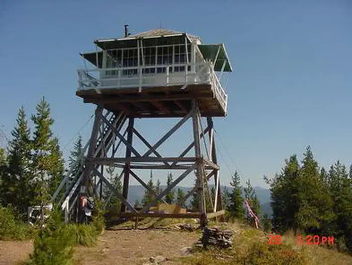
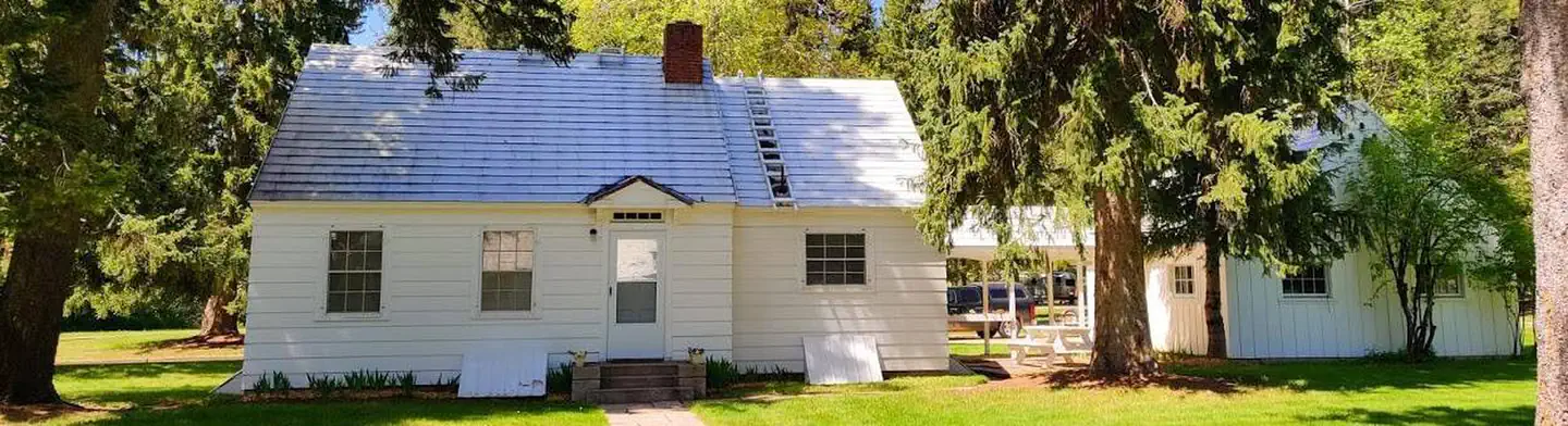
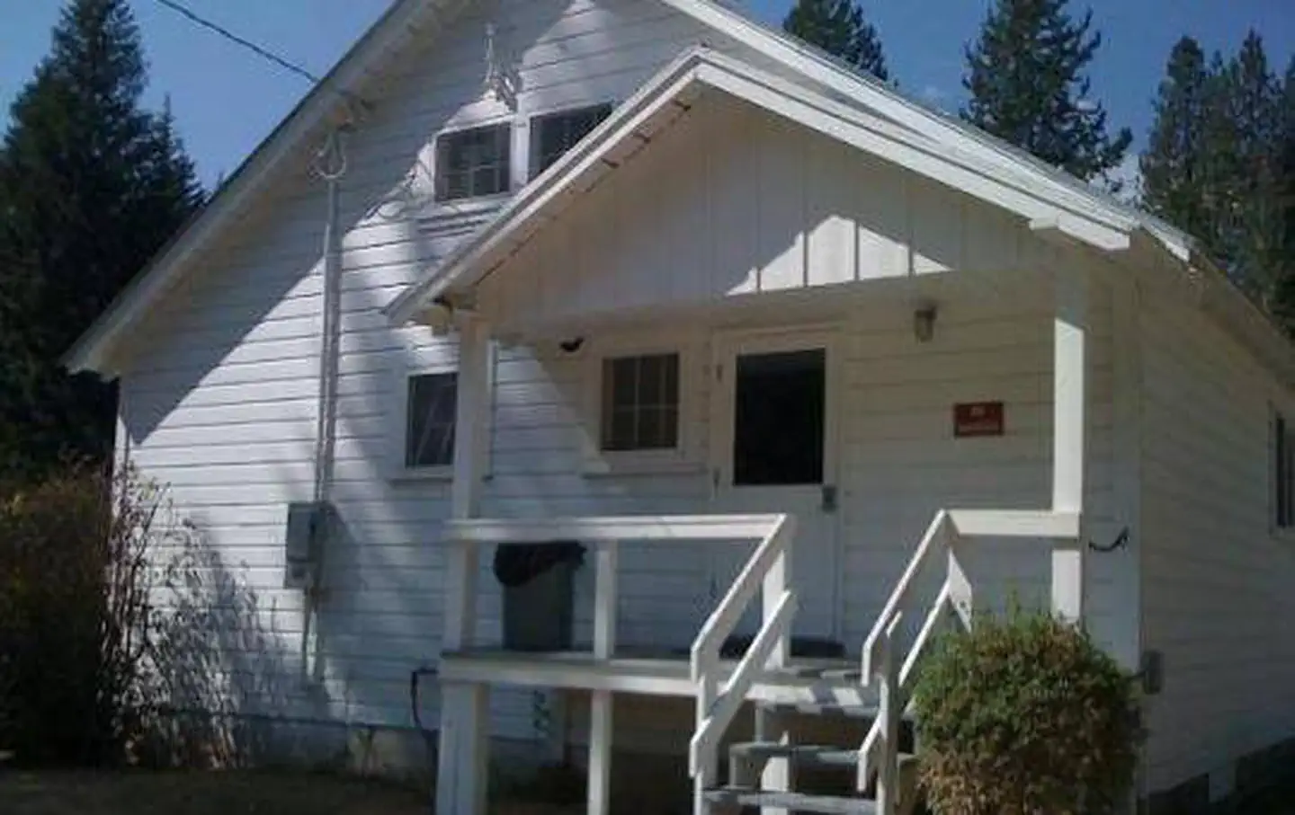
Cabin and lookout rentals nearby
On the National Register nearby
- Avery DepotBuilding · Avery · 7.2 mi
- Avery Ranger StationHistoric district · Avery · 7.3 mi
- Grand ForksSite · Avery · 8 mi
Guidebooks for Idaho
We earn a small commission if you buy through these links. It does not change what we list.
Titles come from Open Library's catalog, matched by subject heading or by title.
Reference
Questions people ask
Can I bring an RV to Turner Flat Campground?
Turner Flat Campground is listed for tents only.
Source: Forest Service
What if Turner Flat Campground is full?
The nearest public campgrounds are Tin Can Flat Campground (1.6 mi, first-come), Telichpah Campground (7 mi, first-come), and Mammoth Springs Campground (9.2 mi, first-come).
Source: Campgrounds nearby