East Table Group Campground
East Table Group Campground offers space for camping when campgrounds along the Snake River are nearly full. The campground is located across the highway from the Snake River and offers excellent morning and evening views of the surrounding mountains. It is a good option for groups.
This is the group site. Looking for the main campground? East Table Campground, 12 sites, is next door.
More like this: reservable in Wyoming · tent only in Wyoming

Amenities & rules
| Equipment | Tents |
| Fees | $30/Night for single unit, 1 site available only. Note: After September 25, site is ½ price fee (no water) until October 16. |
Individual sites vary. Confirm on Recreation.gov or with the managing office.
Season & status
| Status | Closed for the season. Forest Service sites close for the season; check the official page for the reopening date. |
| Forest | Bridger-Teton National Forest |
| Booking | This site can be reserved by calling Toll Free 1-877-444-6777 (International 518-885-3639 or TDD 877-833-6777) or online at www.recreation.gov |
| Fees | $30/Night for single unit, 1 site available only. Note: After September 25, site is ½ price fee (no water) until October 16. |
| Rules | Bear Food Storage and Sanitation Order No: 04-00-104 |
Weather by month
Getting there
| Coordinates | 43.2128° N, 110.8092° W · Directions ↗ |
Fire nearby
- PrescribedNorth Zone Piles Rx
18 mi from the campground
- PrescribedBtnf Rx
19 mi from the campground
Distance is to the reported incident point, not the fire edge. Call the managing office before you drive.
Supplies & services
| Outdoor gear | Mountainist ↗ | 11.4 mi |
| RV sales & service | Airstream of Wyoming ↗ | 14.6 mi |
| Dump station | Dump station ↗ | 22.6 mi |
Locations © OpenStreetMap contributors. Call ahead; hours change seasonally.
Explore
Video
Video of East Table Campground, WY from Laura M.
Worth a stop
- 2.7 miCabin Creek Trailhead ↗Trailhead
Trails nearby
- 0.2 miEast Table Creek ↗7.1 mi trail · hiking, horse, bike
- 0.6 miSkull Creek ↗11.1 mi trail · hiking, horse, bike, motorcycle and 2 more
- 1.4 miStation Creek1.3 mi trail · hiking, horse, bike
- 1.6 miBailey Creek ↗11.2 mi trail · hiking, horse, bike
- 2.2 miTaco Hole0.09 mi trail · hiking, horse, bike
- 2.7 miCabin Creek ↗5.3 mi trail · hiking, horse, bike
Trailheads within three miles
- 0.2 miEast Table Creek Trailhead ↗Bridger-Teton National Forest
- 1.4 miStation Creek Trailhead ↗Bridger-Teton National Forest
- 2.7 miCabin Creek Trailhead ↗Bridger-Teton National Forest
Trail and trailhead records are the Forest Service's. Distances are straight-line to the nearer trail end. Trail conditions are not tracked here.
Public land it sits in
This campground sits inside Caribou-Targhee National Forest, which overlaps Bridger-Teton National Forest.
- inCaribou-Targhee National Forest ↗National Forest · Forest Service · 3,077,758 acres
- inBridger-Teton National Forest ↗National Forest · Forest Service · 3,466,359 acres
- 13 miGros Ventre Wilderness ↗Wilderness · Forest Service · 285,619 acres
Each unit is published as a centre point and an acreage rather than a boundary, so this section stands it in for a circle of the same area. Whether a campground is inside, and how far it is from one it is outside, are both approximate.
Other campgrounds nearby

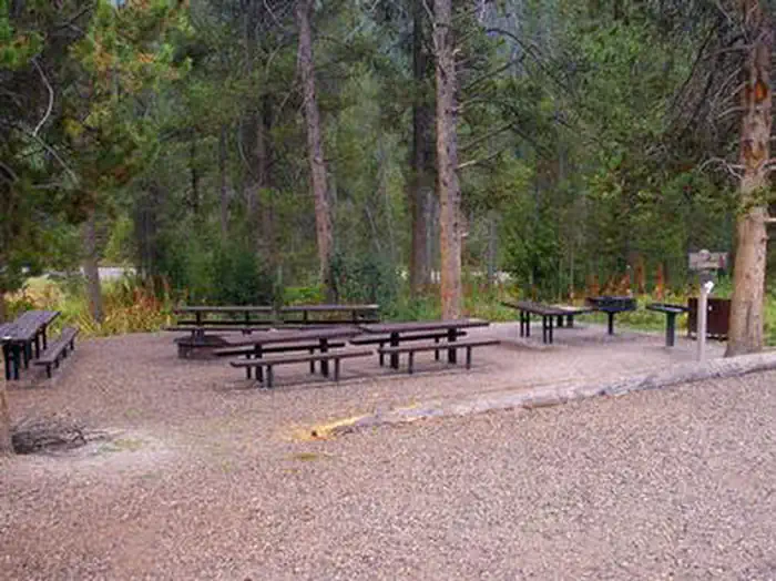

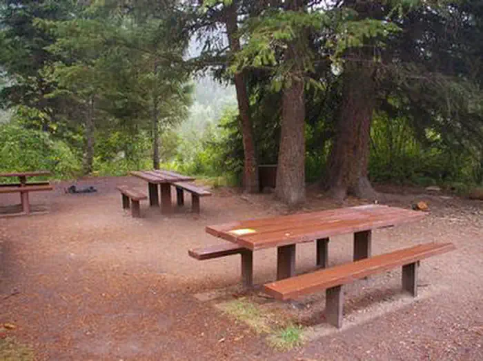
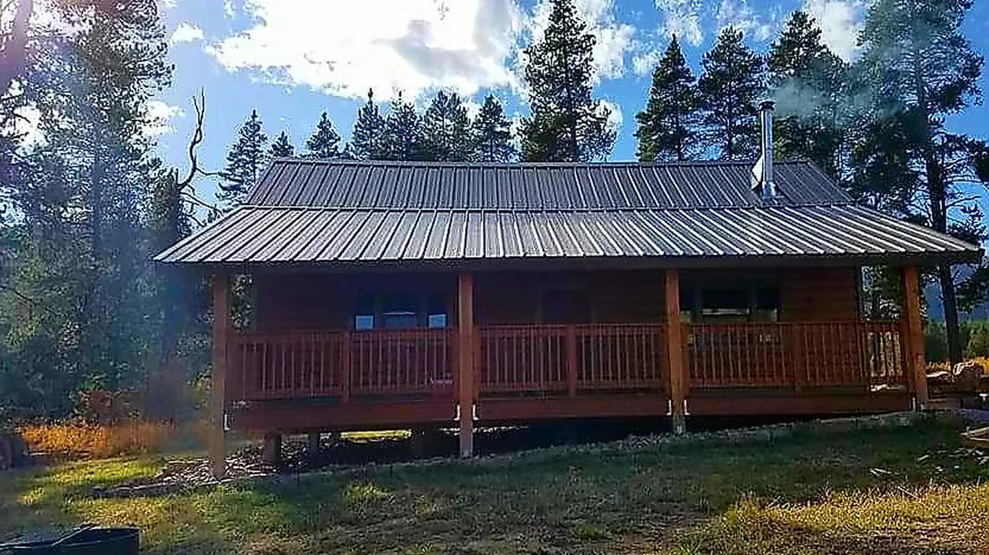
Cabin and lookout rentals nearby
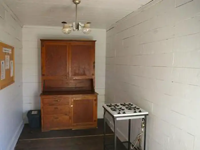
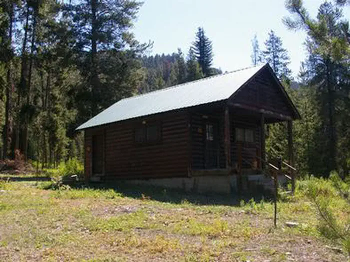
On the National Register nearby
- Bridge over Snake River-Structure DeyStructure · Jackson · 11.5 mi
- Salt River Hydroelectric PowerplantHistoric district · Etna · 13.1 mi
Guidebooks for Wyoming
We earn a small commission if you buy through these links. It does not change what we list.
Titles come from Open Library's catalog, matched by subject heading or by title.
Reference
Questions people ask
Do I need a reservation at East Table Group Campground?
Sites at East Table Group Campground are reservable on Recreation.gov. This site can be reserved by calling Toll Free 1-877-444-6777 (International 518-885-3639 or TDD 877-833-6777) or online at www.recreation.gov Any walk-up sites are listed on the booking page.
Source: Forest Service
How much does it cost to camp at East Table Group Campground?
$30/Night for single unit, 1 site available only. Note: After September 25, site is ½ price fee (no water) until October 16.
Source: Forest Service
Is East Table Group Campground open right now?
Closed for the season as of Oct 26, 2026.
Source: Forest Service status
Can I bring an RV to East Table Group Campground?
East Table Group Campground is listed for tents only.
Source: Forest Service
What if East Table Group Campground is full?
The nearest public campgrounds are East Table Campground (0.1 mi), Station Creek Campground (1.3 mi), and Wolf Creek Campground (4.8 mi, first-come).
Source: Campgrounds nearby