Mitt Moody Campground
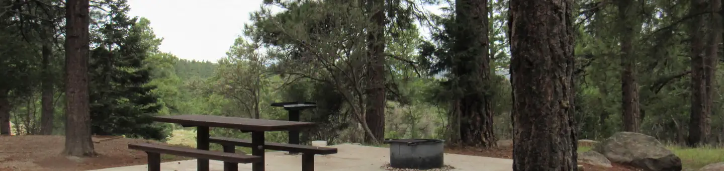
The Mitt Moody sites range from being tucked away in the hillside to one that overlooks a nearby stream. All items need to be packed in by foot via a short walking trail. Parking is limited to one vehicle per site. The trailhead for the Pine Valley Canal Trail and the Santa Clara River Trail begin from this loop. The Mitt Moody loop offers a more secluded primitive camping experience compared to the other loops in the Pine Valley Recreation Area. 2 single walk-in tent sites (up to 8 people). 1 double site (up to 16 persons). Drinking water (Memorial Day-Labor Day). Vault toilets. No garbage disposal, please pack it out
More like this: first-come in Utah · tent only in Utah

Site map
16 campsite locations mapped by OpenStreetMap contributors. The site numbers are theirs and may not match the posts at the campground. Map data © OpenStreetMap contributors, ODbL.
Amenities & rules
| Equipment | Tents |
| Fees | For current pricing and availability, visit www.recreation.gov |
Individual sites vary. Confirm on Recreation.gov or with the managing office.
Season & status
| Status | Closed for the season. Forest Service sites close for the season; check the official page for the reopening date. |
| Season | Early May to Late September |
| Forest | Dixie National Forest |
| Fees | For current pricing and availability, visit www.recreation.gov |
| Rules | Quiet hours between 10 p.m. and 6 a.m. Campfires in developed fire pits only. Fireworks are prohibited. Dogs must be on leash. OHV/ATV use prohibited in the campground. Maximum length of stay: 14 days |
Weather by month
Getting there
| Coordinates | 37.3756° N, 113.4570° W · Directions ↗ |
Fire nearby
- PrescribedGrass Valley Piles Rx
6 mi from the campground
- PrescribedLake Piles Rx
39 mi from the campground
Distance is to the reported incident point, not the fire edge. Call the managing office before you drive.
Supplies & services
| Dump station | Dump station ↗ | 15.6 mi |
| RV sales & service | Gander RV ↗ | 15.9 mi |
| Outdoor gear | Sportsman's Warehouse ↗ | 17.8 mi |
Locations © OpenStreetMap contributors. Call ahead; hours change seasonally.
Explore
Worth a stop
- 10.9 mi
- 13.8 miKolob Canyons Visitor Center ↗Visitor center
Trails nearby
- 0.1 miPine Valley Canal Connector0.09 mi trail · hiking, horse, bike
- 0.1 miSanta Clara River Trail2.1 mi trail · hiking, horse, bike
- 0.1 miCanal Trail ↗6.3 mi trail · hiking, horse, bike
- 0.1 miCanal Connector0.6 mi trail · hiking, horse, bike
- 0.3 miEquestrian Snow Trail2.7 mi trail · snowshoe, ski
- 0.4 miEquestrian Trail3.6 mi trail · hiking, horse, bike
Trail and trailhead records are the Forest Service's. Distances are straight-line to the nearer trail end. Trail conditions are not tracked here.
Public land it sits in
This campground sits inside Pine Valley Mountain Wilderness.
- inPine Valley Mountain Wilderness ↗Wilderness · Forest Service · 50,216 acres
- 7.7 miRed Cliffs National Monument ↗National Monument · Bureau of Land Management · 61,170 acres
- 8.4 miCottonwood Forest Wilderness ↗Wilderness · Forest Service · 2,648 acres
Each unit is published as a centre point and an acreage rather than a boundary, so this section stands it in for a circle of the same area. Whether a campground is inside, and how far it is from one it is outside, are both approximate.
Other campgrounds nearby

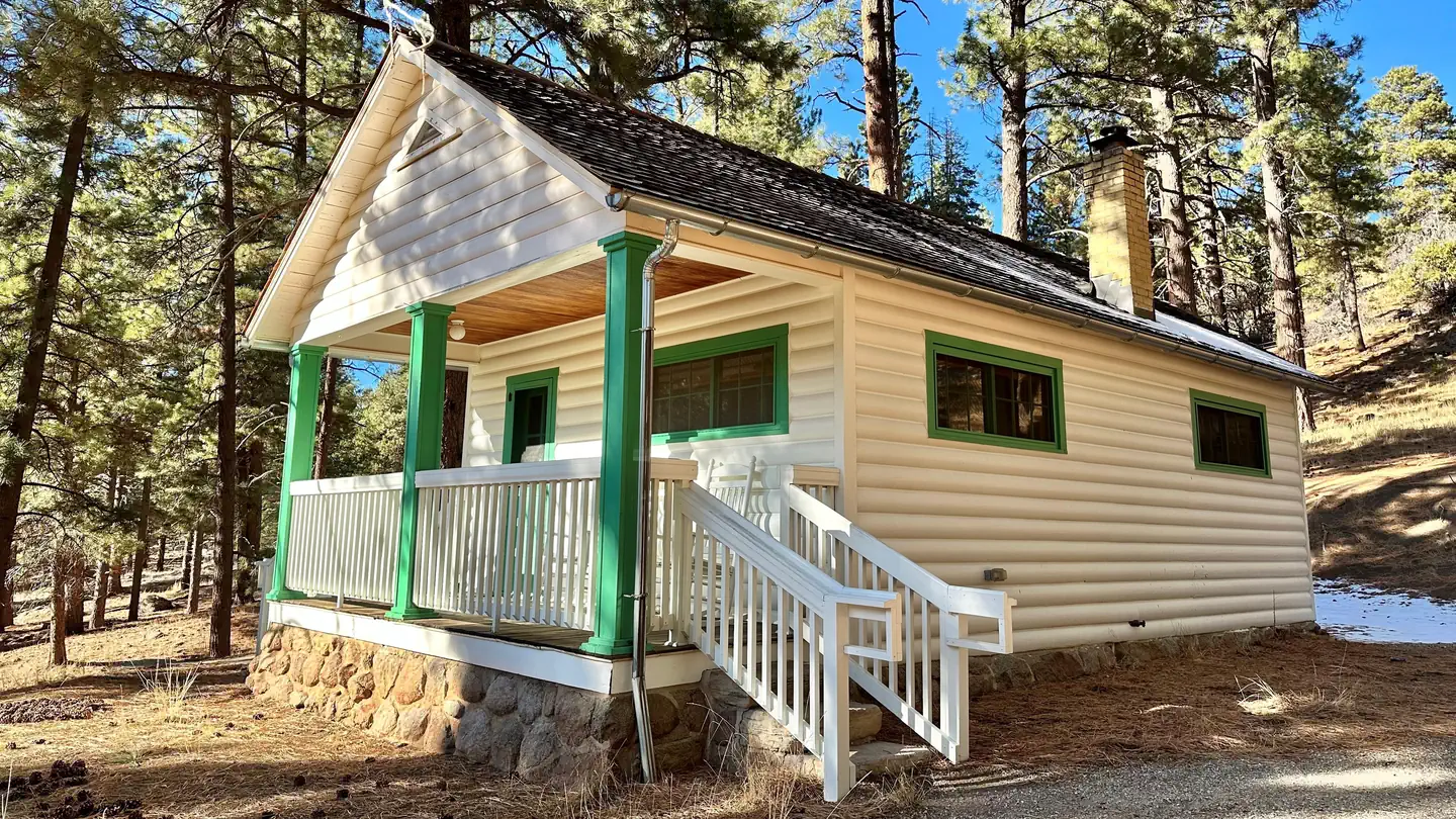
Cabin and lookout rentals nearby
Historic landmarks nearby

Guidebooks for Utah
We earn a small commission if you buy through these links. It does not change what we list.
Titles come from Open Library's catalog, matched by subject heading or by title.
Reference
Questions people ask
Do I need a reservation at Mitt Moody Campground?
No. Mitt Moody Campground is first-come, first-served. Sites are taken on arrival and paid at the fee station.
Source: Forest Service
How much does it cost to camp at Mitt Moody Campground?
For current pricing and availability, visit www.recreation.gov
Source: Forest Service
Is Mitt Moody Campground open right now?
Closed for the season as of Oct 26, 2026. Season Early May to Late September.
Source: Forest Service status
Can I bring an RV to Mitt Moody Campground?
Mitt Moody Campground is listed for tents only.
Source: Forest Service
What if Mitt Moody Campground is full?
The nearest public campgrounds are Effie Beckstrom East Group Campground (0.5 mi), Effie Beckstrom West Group Campground (0.5 mi), and Pine Valley Recreation Area (0.5 mi).
Source: Campgrounds nearby