South Fork Camping Area
This camping area has 6 sites on the South Fork of Rock Creek, near the south shore of Upper Stillwater Reservoir. There is a trail that starts from the campground area and goes north into the High Uintas Wilderness.
More like this: first-come in Utah · tent only in Utah

Amenities & rules
| Equipment | Tents |
Individual sites vary. Confirm on Recreation.gov or with the managing office.
Season & status
| Forest | Ashley National Forest |
Weather by month
Getting there
| Coordinates | 40.7356° N, 109.7388° W · Directions ↗ |
Fire nearby
- PrescribedD1 Pondo Rx
14 mi from the campground · 532 acres
- PrescribedBurnt Beaver Rx
24 mi from the campground
- PrescribedWestern Roughneck Rx
35 mi from the campground · 472 acres
Distance is to the reported incident point, not the fire edge. Call the managing office before you drive.
Supplies & services
| Dump station | Dump station ↗ | 15.3 mi |
| Outdoor gear | Redneck Archery and Pro Shop ↗ | 22.5 mi |
Locations © OpenStreetMap contributors. Call ahead; hours change seasonally.
No site-by-site records, no fee schedule, no directions or photos in the Recreation.gov record. What is here comes from the agency's own listing. The rest lives there.
Checked nightly. Modules appear as soon as the record fills in.
Explore
Worth a stop
- 10 miDry Fork Flume Trailhead 2 ↗Trailhead
- 10.3 miEast Park Junction Trailhead ↗Trailhead
- 12.3 miPalisades Park Picnic Site ↗Day use
- 13.4 miSheep Creek Boat Launch Area ↗Boat launch
- 14.7 miChepeta Day Use Area ↗Day use
Trails nearby
- under 0.1 miAshley Driveway Spur Aunder 0.1 mi trail · hiking, horse, bike, motorcycle and 3 more
- 0.5 miPat Carroll Park2.8 mi trail · hiking, horse, bike
- 1.2 miCow Canyon3.9 mi trail · hiking, horse, bike
- 1.7 miAshley Driveway Spur B1.2 mi trail · hiking, horse, bike
- 1.9 miGalloway Spring ↗6.8 mi trail · hiking, horse, bike
- 3.1 miNorth Fork Ashley2.4 mi trail · hiking, horse, bike, motorcycle and 2 more
Trail and trailhead records are the Forest Service's. Distances are straight-line to the nearer trail end. Trail conditions are not tracked here.
Public land it sits in
This campground sits inside Ashley National Forest.
- inAshley National Forest ↗National Forest · Forest Service · 1,401,248 acres
- 5.1 miUinta-Wasatch-Cache National Forest ↗National Forest · Forest Service · 2,912,954 acres
Each unit is published as a centre point and an acreage rather than a boundary, so this section stands it in for a circle of the same area. Whether a campground is inside, and how far it is from one it is outside, are both approximate.
Other campgrounds nearby
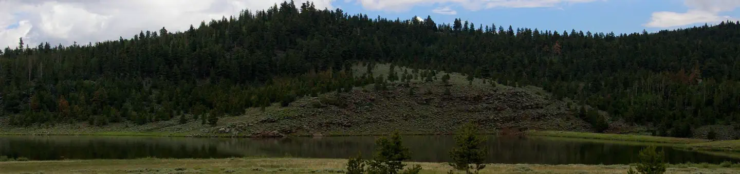
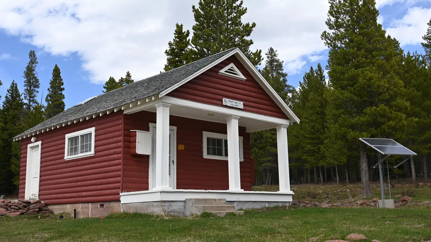
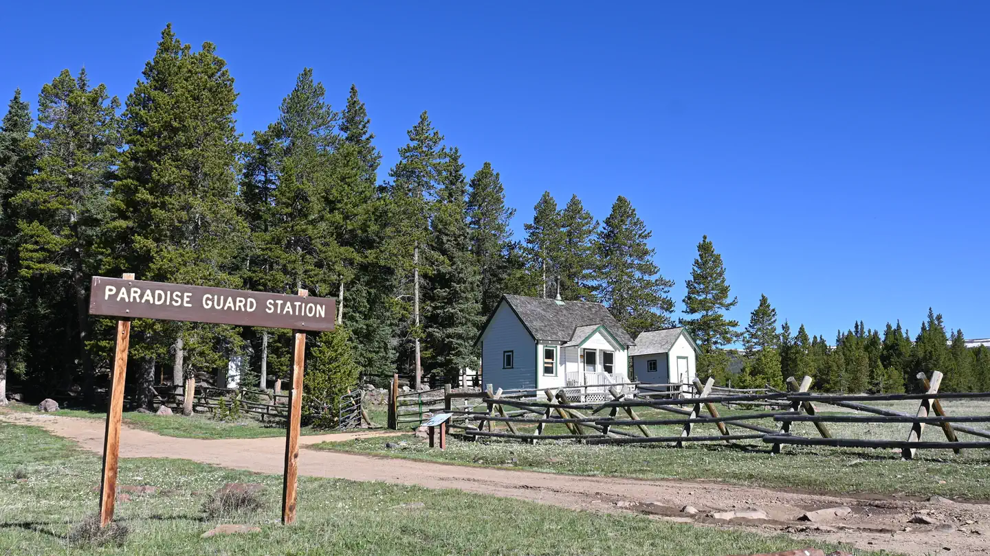
Cabin and lookout rentals nearby

On the National Register nearby
- Carter RoadHistoric district · Ashley National Forest · 1.5 mi
- Ute Mountain Fire TowerStructure · Manila · 9.8 mi
- McConkie Ranch PetroglyphsSite · Vernal · 13.9 mi
Guidebooks for Utah
We earn a small commission if you buy through these links. It does not change what we list.
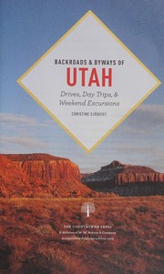
Titles come from Open Library's catalog, matched by subject heading or by title.
Reference
Questions people ask
How many sites does South Fork Camping Area have?
6 sites.
Source: Forest Service
Can I bring an RV to South Fork Camping Area?
South Fork Camping Area is listed for tents only.
Source: Forest Service
What if South Fork Camping Area is full?
The nearest public campgrounds are Oaks Park Campground (6 mi, first-come), Kaler Hollow Campground (6.9 mi, first-come), and Deep Creek Campground (8.3 mi, first-come).
Source: Campgrounds nearby