East Park Campground
There are 21 campsites on the shore of East Park Reservoir where you can fish for rainbow trout. There is a trailhead at north end of the lake that leads east to US 191, and another one at the south end that leads west to Oaks Park Lake. This is a fantastic waterfowl hunting area.
More like this: first-come in Utah · tent only in Utah

Site map
19 campsite locations mapped by OpenStreetMap contributors. The site numbers are theirs and may not match the posts at the campground. Map data © OpenStreetMap contributors, ODbL.
Amenities & rules
| Equipment | Tents |
| Fees | $12/Night for single unit. There is no potable water. No trash service Pack it in, Pack it out during the shoulder seasons. |
Individual sites vary. Confirm on Recreation.gov or with the managing office.
Season & status
| Season | June to Mid-September |
| Forest | Ashley National Forest |
| Booking | Reservations are not available for this campground. |
| Fees | $12/Night for single unit. There is no potable water. No trash service Pack it in, Pack it out during the shoulder seasons. |
Weather by month
Getting there
| Coordinates | 40.7810° N, 109.5532° W · Directions ↗ |
Fire nearby
- PrescribedD1 Pondo Rx
7 mi from the campground · 532 acres
- PrescribedBurnt Beaver Rx
31 mi from the campground
- PrescribedWestern Roughneck Rx
43 mi from the campground · 472 acres
Distance is to the reported incident point, not the fire edge. Call the managing office before you drive.
Supplies & services
| Dump station | Dump station ↗ | 5.1 mi |
| Outdoor gear | Redneck Archery and Pro Shop ↗ | 22.6 mi |
Locations © OpenStreetMap contributors. Call ahead; hours change seasonally.
Explore
Video
Ep. 312: East Park Reservoir, California | RV travel camping kayaking
Worth a stop
- 0.8 miEast Park Junction Trailhead ↗Trailhead
- 4.4 miHighline Trailhead ↗Trailhead
- 11.2 miSpillway Boat Launch Area ↗Boat launch
- 11.7 miSheep Creek Boat Launch Area ↗Boat launch
- 11.9 miSunny Cove Swim Beach ↗Swimming
Trails nearby
- under 0.1 miOaks Park-East Park ↗6.5 mi trail · hiking, horse, bike, motorcycle and 2 more
- under 0.1 miLake Park ↗5.2 mi trail · hiking, horse, bike, motorcycle and 2 more
- 1.2 miNorth East Park Spur A0.1 mi trail · hiking, horse, bike, motorcycle and 2 more
- 1.3 miRound Park South ↗5 mi trail · hiking, horse, bike, motorcycle and 2 more
- 1.7 miBig Park Lake Park3.6 mi trail · hiking, horse, bike, motorcycle and 3 more
- 1.7 miRound Park0.8 mi trail · hiking, horse, bike, motorcycle and 2 more
Trailheads within three miles
- 0.8 miEast Park Junction Trailhead ↗Ashley National Forest
Trail and trailhead records are the Forest Service's. Distances are straight-line to the nearer trail end. Trail conditions are not tracked here.
Public land it sits in
Ashley National Forest begins about 3.7 miles away, and it is the closest of these.
- 3.7 miAshley National Forest ↗National Forest · Forest Service · 1,401,248 acres
- 13.5 miUinta-Wasatch-Cache National Forest ↗National Forest · Forest Service · 2,912,954 acres
Each unit is published as a centre point and an acreage rather than a boundary, so this section stands it in for a circle of the same area. Whether a campground is inside, and how far it is from one it is outside, are both approximate.
Other campgrounds nearby
Cabin and lookout rentals nearby
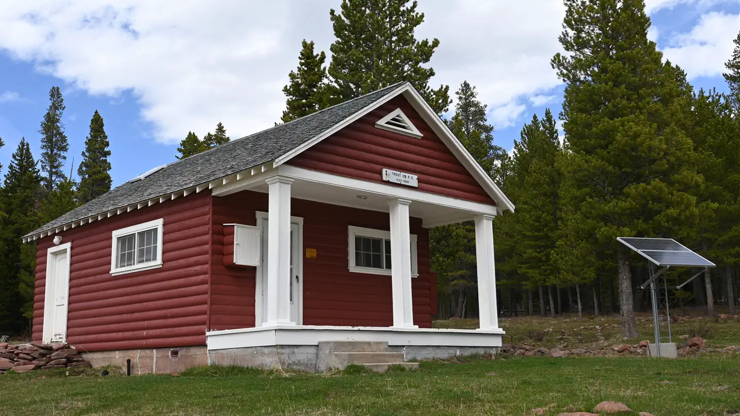
On the National Register nearby
- Swett RanchHistoric district · Dutch John · 7.6 mi
- Carter RoadHistoric district · Ashley National Forest · 9.7 mi
- Ute Mountain Fire TowerStructure · Manila · 14 mi
Guidebooks for Utah
We earn a small commission if you buy through these links. It does not change what we list.
Titles come from Open Library's catalog, matched by subject heading or by title.
Reference
Questions people ask
Do I need a reservation at East Park Campground?
No. East Park Campground is first-come, first-served. Reservations are not available for this campground. Sites are taken on arrival and paid at the fee station.
Source: Forest Service
How much does it cost to camp at East Park Campground?
$12/Night for single unit. There is no potable water. No trash service Pack it in, Pack it out during the shoulder seasons.
Source: Forest Service
How many sites does East Park Campground have?
21 sites.
Source: Forest Service
Can I bring an RV to East Park Campground?
East Park Campground is listed for tents only.
Source: Forest Service
What if East Park Campground is full?
The nearest public campgrounds are Oaks Park Campground (4.6 mi, first-come), Lodgepole At Flaming Gorge (5.1 mi, partly first-come), and South Iron Springs Group Site (5.4 mi).
Source: Campgrounds nearby