Upper Joes Valley Dispersed Site
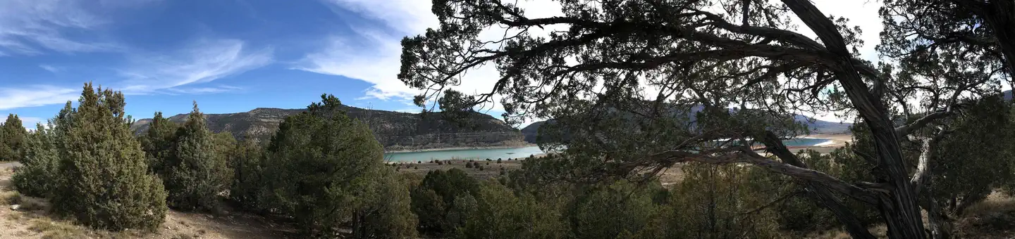
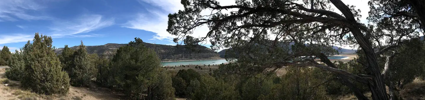
Upper Joes Valley is located at ~7340' elevation, just south of the intersection of Millers Flat Road and Lowry Water Road. The trees offer shade for most campers and provide spectacular autumn color. Many people enjoy the solitude and primitive experience of camping away from developed campgrounds and other campers. "Dispersed camping" is the term used for camping anywhere in the National Forest outside of a designated campground, and is generally allowed anywhere unless posted otherwise. Many people drive out on Forest Service roads into the woods and find spots that meet the needs for their camp. Dispersed camping may mean no toilet facilities or treated water are located nearby.
More like this: first-come in Utah · tent only in Utah

Amenities & rules
| Equipment | Tents |
Individual sites vary. Confirm on Recreation.gov or with the managing office.
Season & status
| Status | Open |
| Forest | Manti-La Sal National Forest |
Weather by month
Getting there
| Coordinates | 39.3473° N, 111.2697° W · Directions ↗ |
Fire nearby
- PrescribedSan Pitch Rx
26 mi from the campground · 15 acres
- PrescribedSalina Canyon East Rx
41 mi from the campground · 17,375 acres
Distance is to the reported incident point, not the fire edge. Call the managing office before you drive.
Supplies & services
| RV sales & service | Western Range Camps ↗ | 16.5 mi |
| Outdoor gear | IFA Country Store ↗ | 17 mi |
| Dump station | Dump station ↗ | 35.9 mi |
Locations © OpenStreetMap contributors. Call ahead; hours change seasonally.
No site-by-site records, no fee schedule, no directions or photos in the Recreation.gov record. What is here comes from the agency's own listing. The rest lives there.
Checked nightly. Modules appear as soon as the record fills in.
Explore
Worth a stop
- 3.7 miGrassy Lake Fishing Site ↗Fishing site
- 11.6 miHorse Canyon Trailhead ↗Trailhead
Trails nearby
- 1.6 miOrange Olsen2.8 mi trail · hiking, horse, bike, motorcycle and 3 more
- 1.9 miReeder Trail ↗9.1 mi trail · hiking, horse, bike, motorcycle and 2 more
- 2.6 miBlack Canyon ↗5.6 mi trail · hiking, horse, bike
- 2.6 miLittles - Reeder Overlook1.7 mi trail · hiking, horse, bike, motorcycle and 2 more
- 3 miBlue Lake East Loop Extension0.3 mi trail · hiking, horse, bike, motorcycle and 2 more
- 3 miBlue Lake East Loop0.8 mi trail · hiking, horse, bike, motorcycle and 2 more
Trailheads within three miles
- 1.9 miJoes Valley Loop ↗Manti-La Sal National Forest · Season May
- 1.9 miReeder Trailhead ↗Manti-La Sal National Forest · Season May
Trail and trailhead records are the Forest Service's. Distances are straight-line to the nearer trail end. Trail conditions are not tracked here.
Other campgrounds nearby

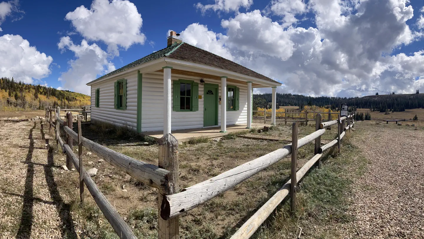
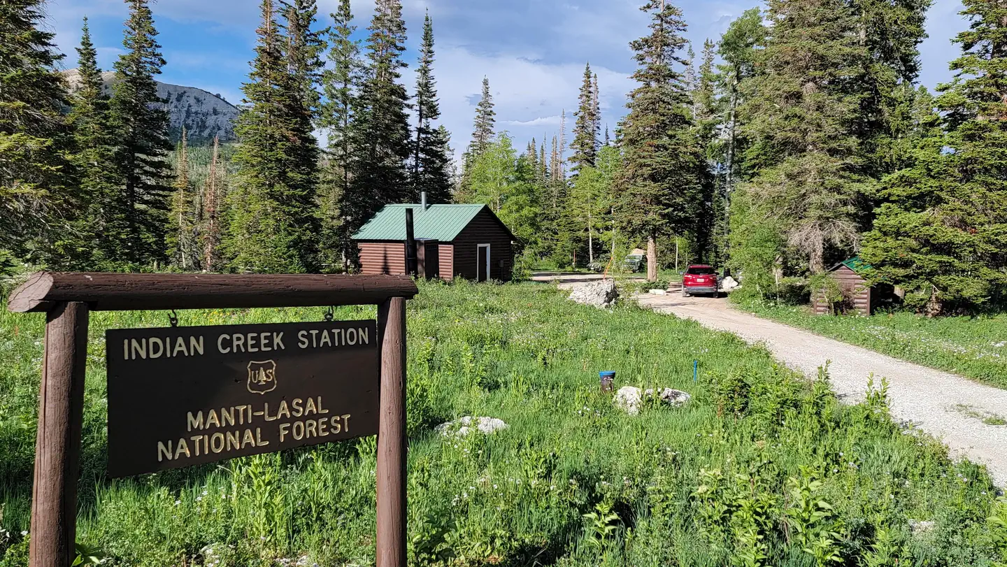
Cabin and lookout rentals nearby
On the National Register nearby
- David and Evinda Madsen HouseBuilding · Ephraim · 10.2 mi
- Great Basin Research Station Historic DistrictHistoric district · Ephraim · 11.7 mi
- John R. Nielson CabinBuilding · Manti · 13.6 mi
Guidebooks for Utah
We earn a small commission if you buy through these links. It does not change what we list.
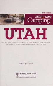
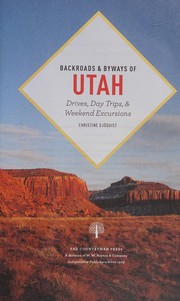
Titles come from Open Library's catalog, matched by subject heading or by title.
Reference
Questions people ask
Is Upper Joes Valley Dispersed Site open right now?
Open as of Oct 26, 2026.
Source: Forest Service status
Can I bring an RV to Upper Joes Valley Dispersed Site?
Upper Joes Valley Dispersed Site is listed for tents only.
Source: Forest Service
What if Upper Joes Valley Dispersed Site is full?
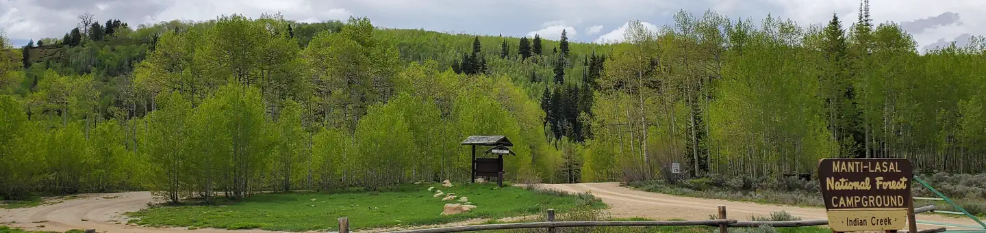
The nearest public campgrounds are Joes Valley Pavilion Group Site A (3 mi), Joes Valley Reservoir (3.8 mi), and Indian Creek (6.8 mi).
Source: Campgrounds nearby