Upper Six Mile Ponds Campground
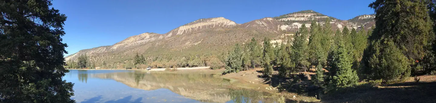
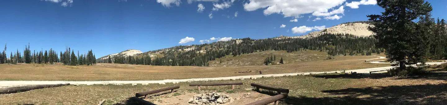
Upper Six Mile Ponds Campground is just ten miles from Sterling, Utah at an elevation of 8,400 feet. A mixed forest of spruce, pinyon, juniper, fir, and aspen covers the area, offering partial shade. Summer wildflowers and wildlife are abundant. Canoeing and fishing for trout are popular at the ponds. Many people enjoy the solitude and primitive experience of camping away from developed campgrounds and other campers. "Dispersed camping" is the term used for camping anywhere in the National Forest outside of a designated campground, and is generally allowed anywhere unless posted otherwise.
More like this: first-come in Utah · tent only in Utah

Amenities & rules
| Equipment | Tents |
Individual sites vary. Confirm on Recreation.gov or with the managing office.
Season & status
| Status | Open |
| Season | Year Round |
| Forest | Manti-La Sal National Forest |
| Booking | No reservations. |
| Rules | Follow these general guidelines to help ensure these dispersed camping areas will be enjoyed by future generations of campers: • Camping is limited to 14 days. The campsite must then be moved a minimum of ten miles. Camping is restricted to 28 days in any 60-day period. • All dispersed campers should follow the ideals of Leave No Trace and practice the concept of Pack It In - Pack It Out. |
Weather by month
Getting there
| Coordinates | 39.1884° N, 111.5405° W · Directions ↗ |
Fire nearby
- PrescribedSan Pitch Rx
16 mi from the campground · 15 acres
- PrescribedSalina Canyon East Rx
28 mi from the campground · 17,375 acres
Distance is to the reported incident point, not the fire edge. Call the managing office before you drive.
Supplies & services
| Outdoor gear | IFA Country Store ↗ | 11.5 mi |
| RV sales & service | Western Range Camps ↗ | 23.9 mi |
| Dump station | Dump station ↗ | 24.3 mi |
Locations © OpenStreetMap contributors. Call ahead; hours change seasonally.
No site-by-site records, no fee schedule, no directions or photos in the Recreation.gov record. What is here comes from the agency's own listing. The rest lives there.
Checked nightly. Modules appear as soon as the record fills in.
Explore
Worth a stop
- 5.1 miDuck Fork Fishing Site ↗Fishing site
- 5.3 miPatton Trailhead ↗Trailhead
- 9.2 mi
- 14.6 miGrassy Lake Fishing Site ↗Fishing site
Trails nearby
- 0.9 miSand Ridge3.6 mi trail · hiking, horse, bike, motorcycle and 3 more
- 1.3 miHarmon ATV Trail ↗4.9 mi trail · hiking, horse, bike, motorcycle and 2 more
- 1.4 miBlack Mountain2.5 mi trail · hiking, horse, bike
- 1.8 miLeo3.2 mi trail · hiking, horse, bike, motorcycle and 3 more
- 2.9 miPinchot ↗5.6 mi trail · hiking, horse, bike, motorcycle and 2 more
- 3.5 miRattlesnake Spur0.2 mi trail · hiking, horse, bike, motorcycle and 2 more
Trailheads within three miles
- 2.9 miPinchot Upper Trailhead ↗Manti-La Sal National Forest · Season May
Trail and trailhead records are the Forest Service's. Distances are straight-line to the nearer trail end. Trail conditions are not tracked here.
Other campgrounds nearby

Cabin and lookout rentals nearby
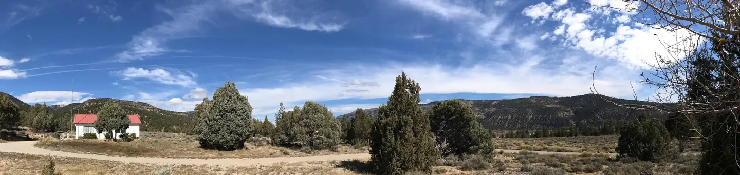
On the National Register nearby
- Manti City HallBuilding · Manti · 5.8 mi
- John R. Nielson CabinBuilding · Manti · 5.8 mi
- Lewis and Clara Anderson HouseBuilding · Manti · 7 mi
Guidebooks for Utah
We earn a small commission if you buy through these links. It does not change what we list.
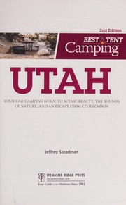
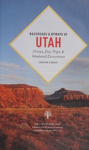
Titles come from Open Library's catalog, matched by subject heading or by title.
Reference
Questions people ask
Do I need a reservation at Upper Six Mile Ponds Campground?
No. Upper Six Mile Ponds Campground is first-come, first-served. No reservations. Sites are taken on arrival and paid at the fee station.
Source: Forest Service
Is Upper Six Mile Ponds Campground open right now?
Open as of Oct 26, 2026. Season Year Round.
Source: Forest Service status
Can I bring an RV to Upper Six Mile Ponds Campground?
Upper Six Mile Ponds Campground is listed for tents only.
Source: Forest Service
What if Upper Six Mile Ponds Campground is full?
The nearest public campgrounds are Manti Community (4.5 mi), Twelve Mile Flat (5.3 mi), and Ferron Reservoir (5.4 mi).
Source: Campgrounds nearby