Cougar Point Campground
6600-foot elevation. 18 campsites in the Salmon River Mountains. Big game hunting in season. Short trails run north, south and west from the campground. The area is heavily timbered with mixed conifers.
More like this: first-come in Idaho · free in Idaho · tent only in Idaho

Amenities & rules
| Equipment | Tents |
| Fees | no fee |
Individual sites vary. Confirm on Recreation.gov or with the managing office.
Season & status
| Season | 6/1 |
| Forest | Salmon-Challis National Forest |
| Fees | no fee |
Weather by month
Getting there
| Coordinates | 45.0832° N, 114.0547° W · Directions ↗ |
Fire nearby
- PrescribedScf Nz Pile Burn Rx
2 mi from the campground · 223 acres
- PrescribedRx D4 West Fork Hand Piles South
36 mi from the campground
- PrescribedRx D4 Hughes Creek
38 mi from the campground · 200 acres
- WildfireSand Creek
48 mi from the campground · 35,520 acres · 90% contained
Distance is to the reported incident point, not the fire edge. Call the managing office before you drive.
Supplies & services
| Dump station | Dump station ↗ | 28.8 mi |
Locations © OpenStreetMap contributors. Call ahead; hours change seasonally.
Explore
Video
Video of Cougar Campground, IL from Stuart K.
Worth a stop
- 0.5 miWilliams Creek Picnic Site ↗Day use
- 1.8 miWilliams Creek Summit Trailhead ↗Trailhead
- 5.8 miWilliams Lake Day Use Area ↗Day use
Trails nearby
- 0.1 miCougar Point0.07 mi trail · hiking, horse, bike
- 0.3 miWilliams Creek ↗13.3 mi trail · hiking, horse, bike, snowmobile and 2 more
- 1.4 miWapiti Meadows1.2 mi trail · hiking, horse, bike
- 1.4 miWapiti Meadows Loop1.2 mi trail · snowshoe, ski
- 1.5 miAspen Loop3.2 mi trail · hiking, horse, bike, snowshoe and 1 more
- 1.7 miPowderhouse Gulch ↗5.8 mi trail · hiking, horse, bike, snowshoe and 1 more
Trailheads within three miles
- 1.8 miWilliams Creek Summit Trailhead ↗Salmon-Challis National Forest
Trail and trailhead records are the Forest Service's. Distances are straight-line to the nearer trail end. Trail conditions are not tracked here.
Public land it sits in
This campground sits inside Salmon-Challis National Forest.
- inSalmon-Challis National Forest ↗National Forest · Forest Service · 4,396,382 acres
- 10.2 miFrank Church-River of No Return Wilderness ↗Wilderness · BLM/FS · 2,358,886 acres
- 13.6 miBeaverhead-Deerlodge National Forest ↗National Forest · Forest Service · 3,614,456 acres
Each unit is published as a centre point and an acreage rather than a boundary, so this section stands it in for a circle of the same area. Whether a campground is inside, and how far it is from one it is outside, are both approximate.
Other campgrounds nearby


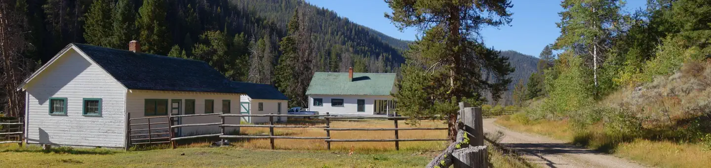
Cabin and lookout rentals nearby
On the National Register nearby
- Episcopal Church of the RedeemerBuilding · Salmon · 10 mi
- Lemhi County CourthouseBuilding · Salmon · 10 mi
- LeesburgHistoric district · Salmon · 10.1 mi
Guidebooks for Idaho
We earn a small commission if you buy through these links. It does not change what we list.
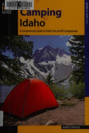
Titles come from Open Library's catalog, matched by subject heading or by title.
Reference
Questions people ask
How much does it cost to camp at Cougar Point Campground?
Nothing. Cougar Point Campground is listed as free. no fee
Source: Forest Service
How many sites does Cougar Point Campground have?
18 sites.
Source: Forest Service
Can I bring an RV to Cougar Point Campground?
Cougar Point Campground is listed for tents only.
Source: Forest Service
What if Cougar Point Campground is full?
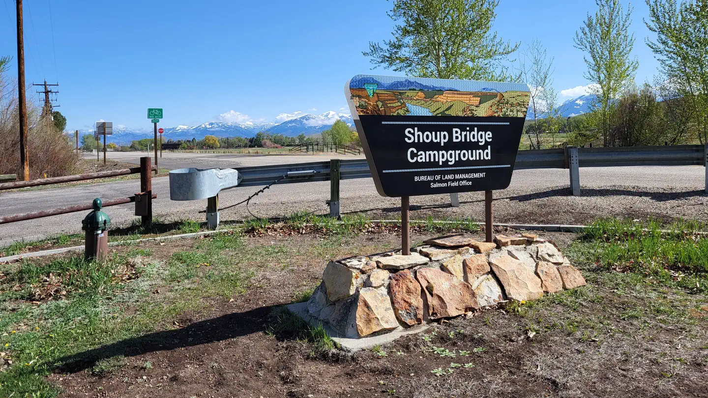
The nearest public campgrounds are Williams Lake Campground (5.5 mi, first-come), Shoup Bridge Campground (7.9 mi), and Wallace Lake Campground (11.6 mi, first-come).
Source: Campgrounds nearby