Lake No. 3 Campground
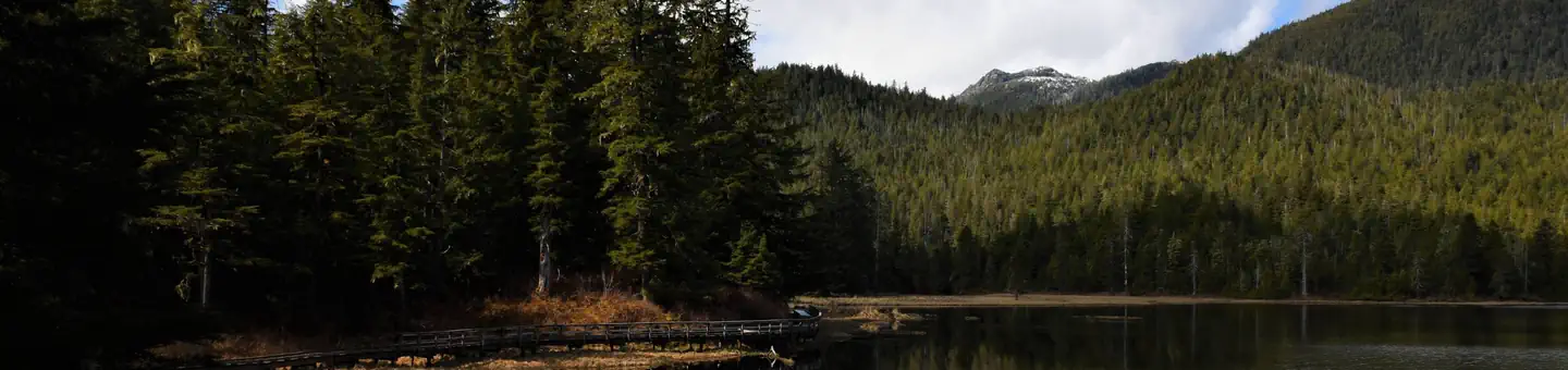
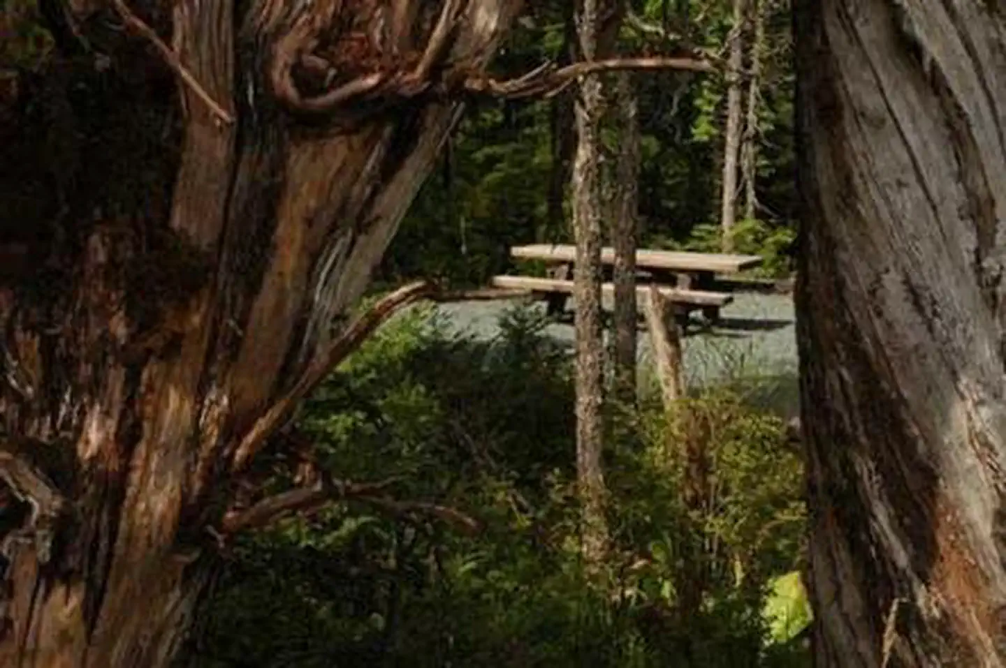
The Lake No. 3 dispersed camping area is named for the lake that one of the sites overlooks. This small camping area has 2 hardened campsites, fire rings and picnic tables available for visitors looking for a more secluded camping area. Special Features: Lake No. 3 dispersed campsite is a nice, small site without a lot of amenities. It is within a mile of the Salt Chuck Trail, which brings hikers to an interesting abandoned copper mine site. The campsite is also close to Lake Ellen and No. 3 Lake. Many visitors hike down to these lakes to swim or fish for trout and Dolly Varden. The second growth stands nearby are good spots to pick berries and may offer opportunities to see deer and bears.
More like this: first-come in Alaska · tent only in Alaska

Amenities & rules
| Equipment | Tents |
Individual sites vary. Confirm on Recreation.gov or with the managing office.
Season & status
| Forest | Tongass National Forest |
Weather by month
Getting there
| Coordinates | 55.6531° N, 132.5844° W · Directions ↗ |
Explore
Trails nearby
- 0.1 miThorne Bay 2030780 Road1.4 mi trail · hiking, horse, bike, motorcycle and 2 more
- 0.5 mi2030 954 Road0.7 mi trail · hiking, horse, bike, motorcycle and 2 more
- 0.9 miAngel Lake 2030790 Rd0.9 mi trail · hiking, horse, bike, motorcycle and 2 more
- 1.2 miSalt Chuck1.1 mi trail · hiking, horse, bike
- 1.3 mi2030794 Road0.9 mi trail · hiking, horse, bike, motorcycle and 2 more
- 1.3 mi2030952 Road2.1 mi trail · hiking, horse, bike, motorcycle and 2 more
Trail and trailhead records are the Forest Service's. Distances are straight-line to the nearer trail end. Trail conditions are not tracked here.
Public land it sits in
Karta River Wilderness begins about 3.7 miles away, and it is the closest of these.
- 3.7 miKarta River Wilderness ↗Wilderness · Forest Service · 39,917 acres
Each unit is published as a centre point and an acreage rather than a boundary, so this section stands it in for a circle of the same area. Whether a campground is inside, and how far it is from one it is outside, are both approximate.
Other campgrounds nearby

Cabin and lookout rentals nearby


On the National Register nearby
- Chief Son-I-Hat's Whale House and Totems Historic DistrictHistoric district · Kasaan · 10.1 mi
Guidebooks for Alaska
We earn a small commission if you buy through these links. It does not change what we list.
Titles come from Open Library's catalog, matched by subject heading or by title.
Reference
Questions people ask
Can I bring an RV to Lake No. 3 Campground?
Lake No. 3 Campground is listed for tents only.
Source: Forest Service
What if Lake No. 3 Campground is full?
The nearest public campgrounds are Eagles Nest Campground (10.6 mi), Harris River Campground (16.7 mi), and Staney Bridge Campground (23.5 mi, first-come).
Source: Campgrounds nearby