Columbine Corrals Campground
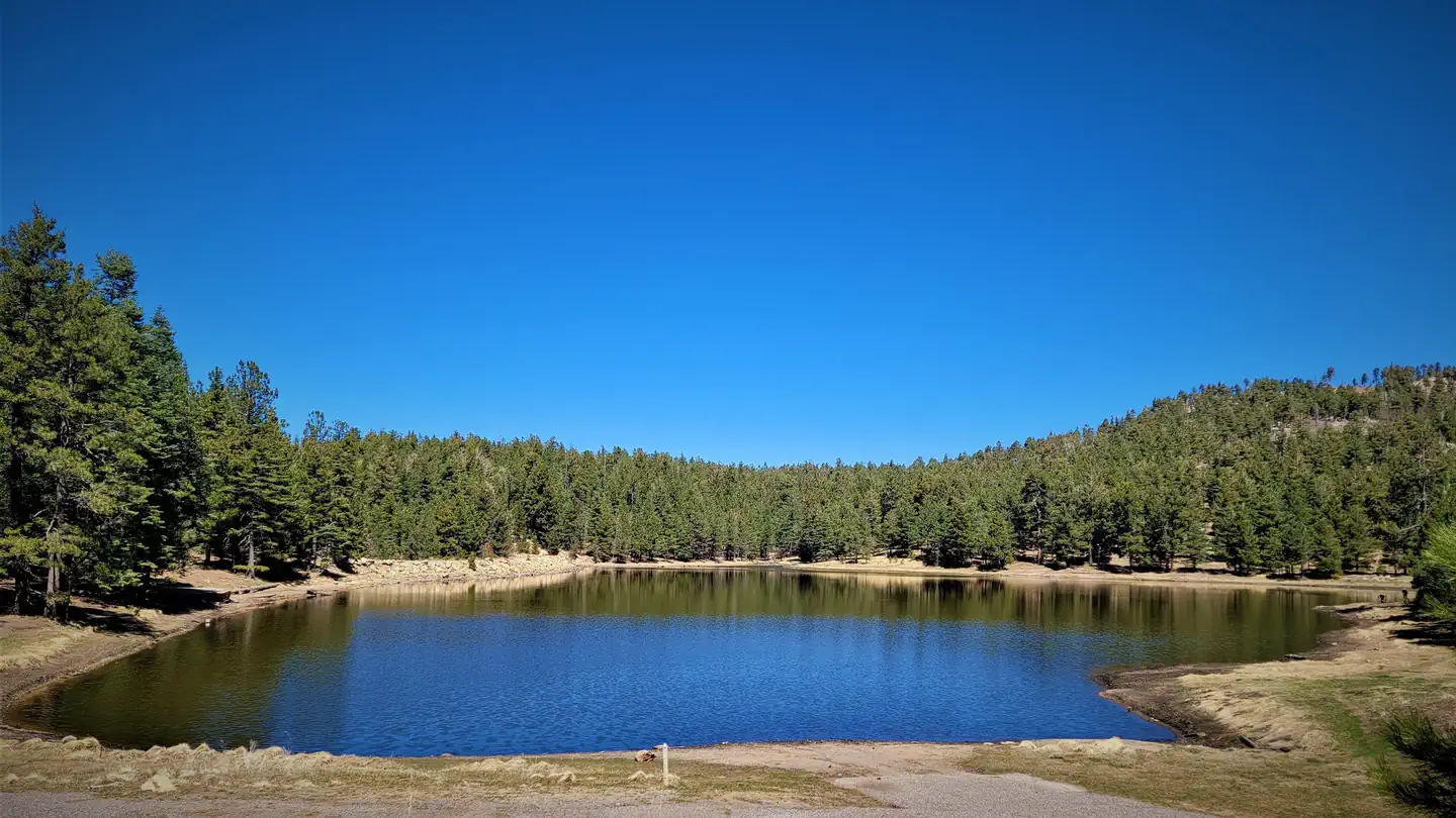
This campground, nestled in mixed-conifer forest at 9,440 feet, has six sites with picnic tables and fire pits. There are vault toilets, bear-proof trash cans, and public corrals. There is also drinking water at this site. Ash Creek Trail #307 and Web Peak Trail #345 start from the campground.
More like this: first-come in Arizona · tent only in Arizona · accessible sites in Arizona

Amenities & rules
| Equipment | Tents |
| Fees | Single site: $15. With Golden Age/Access or Interagency Senior/Access pass $7.50. Payable with cash or check. |
| Accessibility | From Safford, Arizona: Take US 191 south for 6 miles. Turn right onto AZ 366/Swift Trail and travel approximately 29 miles. The campground is on the right across from the Columbine Visitor Center. |
Individual sites vary. Confirm on Recreation.gov or with the managing office.
Season & status
| Status | Open |
| Season | April 15 to November 14 |
| Forest | Coronado National Forest |
| Booking | Reservations are not accepted. |
| Fees | Single site: $15. With Golden Age/Access or Interagency Senior/Access pass $7.50. Payable with cash or check. |
| Rules | Vehicles (including trailers) longer than 22 feet are not recommended because of the difficulty negotiating the switchbacks on AZ 366. This campground is not accessible from November 15 to April 15 when the Swift Trail is closed for the winter. Early or late snow may extend the inaccessible season. |
Weather by month
Getting there
| Coordinates | 32.7064° N, 109.9135° W · Directions ↗ |
Supplies & services
| Outdoor gear | Gila Outdoor ↗ | 13.3 mi |
| RV sales & service | Trek RV ↗ | 15.1 mi |
Locations © OpenStreetMap contributors. Call ahead; hours change seasonally.
Explore
Trails nearby
- under 0.1 miAsh Creek ↗5.7 mi trail · hiking, horse, bike
- under 0.1 miWebb Peak2.2 mi trail · hiking, horse, bike
- 0.7 miGrant Goudy Ridge ↗6.4 mi trail · hiking, horse, bike
- 1 miDeadman Highline ↗5.3 mi trail · hiking, horse, bike
- 1.4 miAsh Creek Detour0.9 mi trail · hiking, horse, bike
- 1.6 miRound the Mountain ↗15 mi trail · hiking, horse, bike
Trailheads within three miles
- under 0.1 miColumbine Corrals Trailhead ↗Coronado National Forest
Trail and trailhead records are the Forest Service's. Distances are straight-line to the nearer trail end. Trail conditions are not tracked here.
Other campgrounds nearby


Historic landmarks nearby

Guidebooks for Arizona
We earn a small commission if you buy through these links. It does not change what we list.
- Best Backpacking Trips in Utah, Arizona, and New MexicoMike White and Douglas Lorain, 2016Find at Bookshop.org
Titles come from Open Library's catalog, matched by subject heading or by title.
Reference
Questions people ask
Do I need a reservation at Columbine Corrals Campground?
No. Columbine Corrals Campground is first-come, first-served. Reservations are not accepted. Sites are taken on arrival and paid at the fee station.
Source: Forest Service
How much does it cost to camp at Columbine Corrals Campground?
Single site: $15. With Golden Age/Access or Interagency Senior/Access pass $7.50. Payable with cash or check.
Source: Forest Service
Is Columbine Corrals Campground open right now?
Open as of Oct 26, 2026. Season April 15 to November 14.
Source: Forest Service status
How many sites does Columbine Corrals Campground have?
6 sites.
Source: Forest Service
Can I bring an RV to Columbine Corrals Campground?
Columbine Corrals Campground is listed for tents only.
Source: Forest Service
Are there accessible sites at Columbine Corrals Campground?
From Safford, Arizona: Take US 191 south for 6 miles. Turn right onto AZ 366/Swift Trail and travel approximately 29 miles.
Source: Forest Service
What if Columbine Corrals Campground is full?
The nearest public campgrounds are Soldier Creek Campground (0.6 mi, first-come), Cunningham Campground (2.3 mi, first-come), and Riggs Lake (2.8 mi).
Source: Campgrounds nearby