Summit Campground
There are two walk-in tent sites with picnic tables and fire grates. There are also two picnic areas with shelters and pull through camping units for RV's and other vehicles. The campground has a handicap accessible vault toilet. A 100-yd hiking trail leading west from the campground provides visitors with a scenic view of the underlying valley. Summit trailhead is in the north end of the campground on the west side of the road. The campground has sufficient parking space that can also be used as a meeting point for Summit Trail.
More like this: first-come in North Dakota · tent only in North Dakota

Amenities & rules
| Equipment | Tents |
Individual sites vary. Confirm on Recreation.gov or with the managing office.
Season & status
| Forest | Dakota Prairie Grasslands |
Weather by month
Getting there
| Coordinates | 47.5400° N, 103.2415° W · Directions ↗ |
Supplies & services
| Outdoor gear | Sportsman's Warehouse ↗ | 46.8 mi |
Locations © OpenStreetMap contributors. Call ahead; hours change seasonally.
No site-by-site records, no fee schedule, no directions or photos in the Recreation.gov record. What is here comes from the agency's own listing. The rest lives there.
Checked nightly. Modules appear as soon as the record fills in.
Explore
Trails nearby
- under 0.1 miSummit0.1 mi trail · hiking, horse, bike
- 0.1 miSummit Viewpoint0.2 mi trail · hiking, horse, bike
- 3.4 miCCC0.3 mi trail · hiking, horse, bike
- 3.5 miHomers Camp0.07 mi trail · hiking, horse, bike
- 3.6 miLong X ↗5.8 mi trail · hiking, horse, bike
- 3.6 miMaah Daah Hey ↗144.3 mi trail · hiking, horse, bike · national_recreation_or_other
Trail and trailhead records are the Forest Service's. Distances are straight-line to the nearer trail end. Trail conditions are not tracked here.
Public land it sits in
This campground sits inside Dakota Prairie Grasslands.
- inDakota Prairie Grasslands ↗National Grassland · Forest Service · 1,384,927 acres
- 3.7 miTheodore Roosevelt Wilderness ↗Wilderness · National Park Service · 29,920 acres
Each unit is published as a centre point and an acreage rather than a boundary, so this section stands it in for a circle of the same area. Whether a campground is inside, and how far it is from one it is outside, are both approximate.
Other campgrounds nearby

On the National Register nearby
- Grassy Butte Post OfficeBuilding · Grassy Butte · 10.1 mi
Reference
Questions people ask
How many sites does Summit Campground have?
5 sites.
Source: Forest Service
Can I bring an RV to Summit Campground?
Summit Campground is listed for tents only.
Source: Forest Service
What if Summit Campground is full?
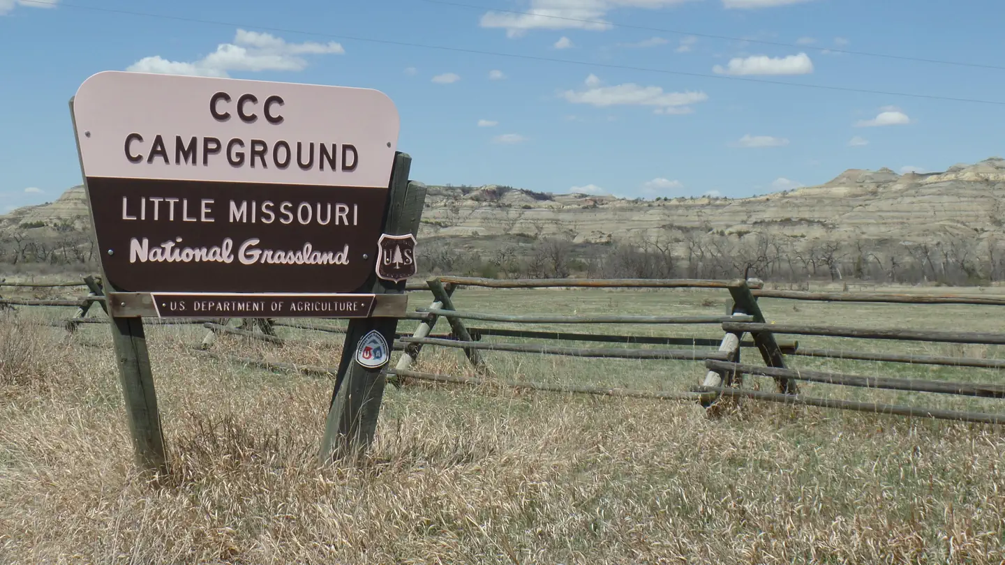
The nearest public campgrounds are CCC Campground (3.6 mi, partly first-come), Juniper Campground Group Site (5.7 mi), and Magpie Campground (19.3 mi, first-come).
Source: Campgrounds nearby