Old Isabella
Located off Highway 178 on the southern side of Lake Isabella, this facility offers visitors a vault toilet, trash service, a visitor information station, and campsites above the high-water mark. Below the high-water mark, visitors can drive their vehicles to the shoreline and camp at the water’s edge. Below the high-water mark, portable toilets and trash receptacles are provided for visitor convenience during the summer. Adjacent to the camping site there is a public boat launch and courtesy dock with a large, paved parking area for vehicles and boat trailers, flush toilets, and drinking water.
More like this: first-come in California · tent only in California

Amenities & rules
| Equipment | Tents |
| Fees | Day Use Fee $12 per vehicle Dump Station Use - $20 Boat launch ramp; RV dumpsite with automated fee collection |
Individual sites vary. Confirm on Recreation.gov or with the managing office.
Season & status
| Status | Open |
| Season | Year Round |
| Forest | Sequoia National Forest |
| Fees | Day Use Fee $12 per vehicle Dump Station Use - $20 Boat launch ramp; RV dumpsite with automated fee collection |
| Rules | Camping is limited to 14 days within any 30 day period. |
Weather by month
Getting there
| Coordinates | 35.6525° N, 118.4569° W · Directions ↗ |
Supplies & services
| Dump station | Dump station ↗ | 0.2 mi |
| Outdoor gear | Triple Crown Outfitters ↗ | 30.7 mi |
| RV sales & service | Camping World ↗ | 40.6 mi |
Locations © OpenStreetMap contributors. Call ahead; hours change seasonally.
Explore
Worth a stop
- 2.9 miTillie Creek Launch Ramp Boating Site ↗Boat launch
- 3 miKissack Cove Day Use ↗Day use
- 3.4 miStine Cove Fishing Site ↗Fishing site
- 4 miCyrus Canyon Shooting Range ↗OHV / range
- 4.4 miCyrus Canyon Ohv Park ↗OHV / range
- 6.7 mi
Trails nearby
- 1.3 miIsabella Peak Lookout0.5 mi trail · hiking, horse, bike
- 1.3 miVista del Lago1 mi trail · hiking, horse, bike
- 1.4 miCoso Mine Loop3 mi trail · hiking, horse, bike
- 4.3 miCook'S Peak 4WD1.8 mi trail · hiking, horse, bike, motorcycle and 1 more
- 4.5 miBorderline 4WD ↗4.8 mi trail · hiking, horse, bike, 4WD and 1 more
- 4.7 miHogeye0.7 mi trail · hiking, horse, bike, motorcycle and 1 more
Trail and trailhead records are the Forest Service's. Distances are straight-line to the nearer trail end. Trail conditions are not tracked here.
Public land it sits in
Sequoia National Forest begins about 2.2 miles away, and it is the closest of these.
- 2.2 miSequoia National Forest ↗National Forest · Forest Service · 1,160,053 acres
- 12.9 miKiavah Wilderness ↗Wilderness · BLM/FS · 86,245 acres
- 13.3 miDomeland Wilderness ↗Wilderness · BLM/FS · 133,720 acres
Each unit is published as a centre point and an acreage rather than a boundary, so this section stands it in for a circle of the same area. Whether a campground is inside, and how far it is from one it is outside, are both approximate.
Other campgrounds nearby

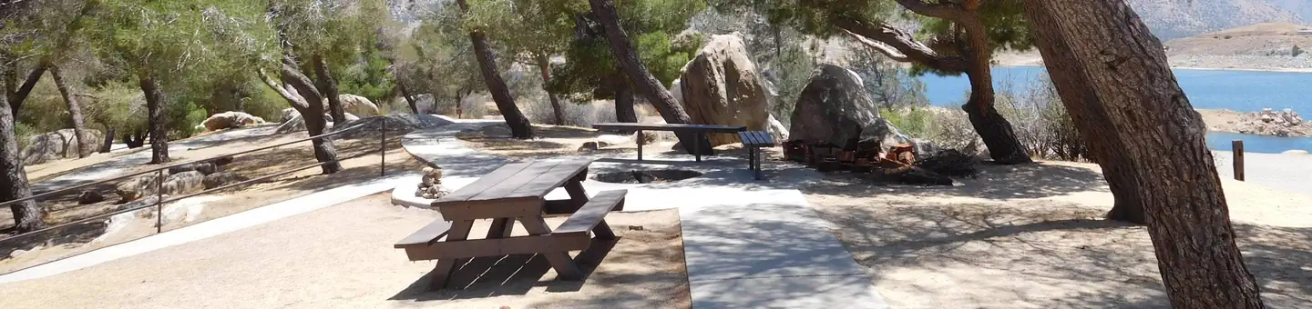
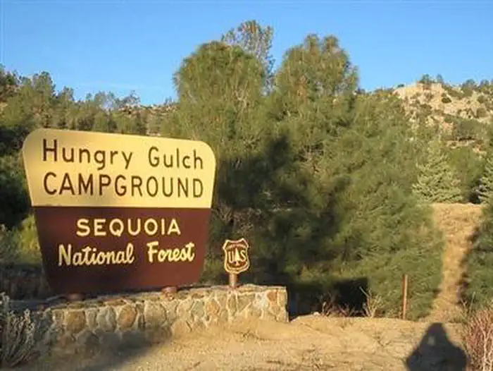
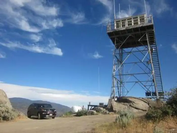
Cabin and lookout rentals nearby
Historic landmarks nearby

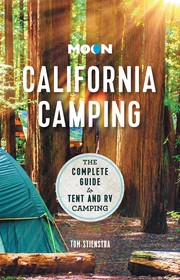
Guidebooks for Sequoia National Forest and California
We earn a small commission if you buy through these links. It does not change what we list.
Titles come from Open Library's catalog, matched by subject heading or by title.
Reference
Questions people ask
Do I need a reservation at Old Isabella?
No. Old Isabella is first-come, first-served. Sites are taken on arrival and paid at the fee station.
Source: Forest Service
How much does it cost to camp at Old Isabella?
Day Use Fee $12 per vehicle Dump Station Use - $20 Boat launch ramp; RV dumpsite with automated fee collection
Source: Forest Service
Is Old Isabella open right now?
Open as of Oct 26, 2026. Season Year Round.
Source: Forest Service status
Can I bring an RV to Old Isabella?
Old Isabella is listed for tents only.
Source: Forest Service
What if Old Isabella is full?
The nearest public campgrounds are Auxiliary Dam (0.7 mi, first-come), South Fork Rec (1.2 mi, first-come), and French Gulch (1.4 mi).
Source: Campgrounds nearby