Bingham Springs Campground
This tiny and rustic campground is located adjacent to a meadow and a small pond in the northwestern portion of the Ochoco National Forest. The campground is also adjacent to the Twin Pillars North Trailhead which provides access into Mill Creek Wilderness. The campground is bordered by ponderosa and lodgepole pines, and the open meadow makes for some gorgeous stargazing on warm summer nights.
More like this: first-come in Oregon · tent only in Oregon

Amenities & rules
| Equipment | Tents |
| Fees | This is a free facility. |
Individual sites vary. Confirm on Recreation.gov or with the managing office.
Season & status
| Status | Open |
| Forest | Ochoco National Forest |
| Fees | This is a free facility. |
| Rules | There is a 14 day stay limit on all National Grassland and US Forest Service land including but not limited to campgrounds and other developed facilities. |
Weather by month
Getting there
| Coordinates | 44.5145° N, 120.5294° W · Directions ↗ |
Fire nearby
- PrescribedTule Rx
40 mi from the campground · 300 acres
- WildfireBench
41 mi from the campground · 67,071 acres · 90% contained
- PrescribedMuddy Run Rx
50 mi from the campground · 152 acres
Distance is to the reported incident point, not the fire edge. Call the managing office before you drive.
Supplies & services
| RV sales & service | RV sales & service ↗ | 20.9 mi |
| Outdoor gear | Prepper Up ↗ | 21.8 mi |
| Dump station | Dump station ↗ | 28.1 mi |
Locations © OpenStreetMap contributors. Call ahead; hours change seasonally.
Explore
Video
Reed Bingham State Park Campground Review Park and Campground Tour
Worth a stop
- 4.4 miScotty Creek Trailhead ↗Trailhead
Trails nearby
- 0.2 miTwin Pillars ↗8.6 mi trail · hiking, horse, bike
- 2.6 miWildcat ↗8.8 mi trail · hiking, horse, bike
- 3.8 miBelknap2.3 mi trail · hiking, horse
- 4.4 miPotlid ↗6.6 mi trail · hiking, horse, bike
- 4.5 miScotty Creek4.3 mi trail · hiking, horse, bike
- 4.6 miCougar Creek ↗7.9 mi trail · hiking, horse, bike
Trailheads within three miles
- under 0.1 miTwin Pillars North Trailhead ↗Ochoco National Forest
- 2.6 miWildcat North Trailhead ↗Ochoco National Forest
Trail and trailhead records are the Forest Service's. Distances are straight-line to the nearer trail end. Trail conditions are not tracked here.
Public land it sits in
This campground sits inside Mill Creek Wilderness, which overlaps Ochoco National Forest.
- inMill Creek Wilderness ↗Wilderness · Forest Service · 17,173 acres
- inOchoco National Forest ↗National Forest · Forest Service · 912,775 acres
- 14.6 miBridge Creek Wilderness ↗Wilderness · Forest Service · 5,337 acres
Each unit is published as a centre point and an acreage rather than a boundary, so this section stands it in for a circle of the same area. Whether a campground is inside, and how far it is from one it is outside, are both approximate.
Other campgrounds nearby

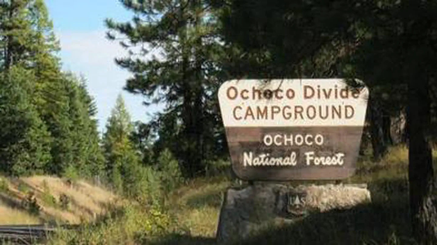
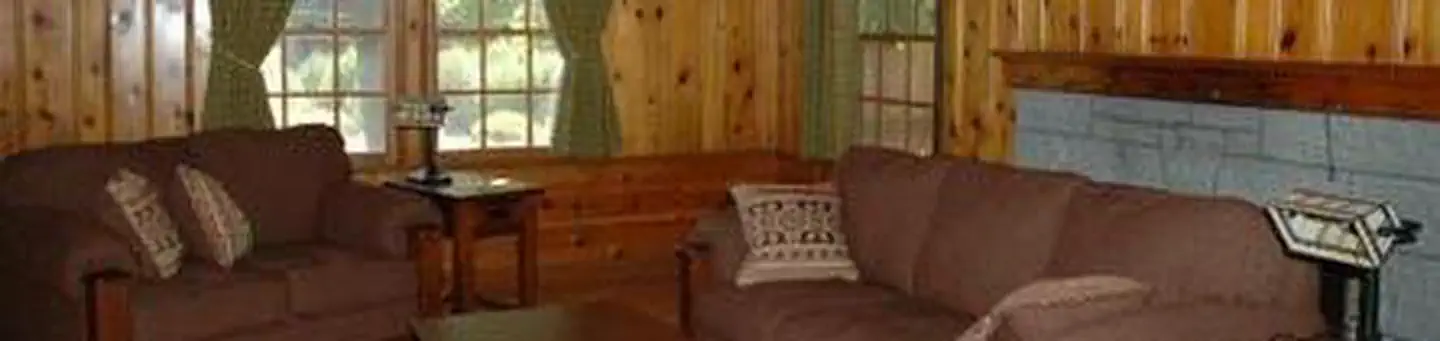
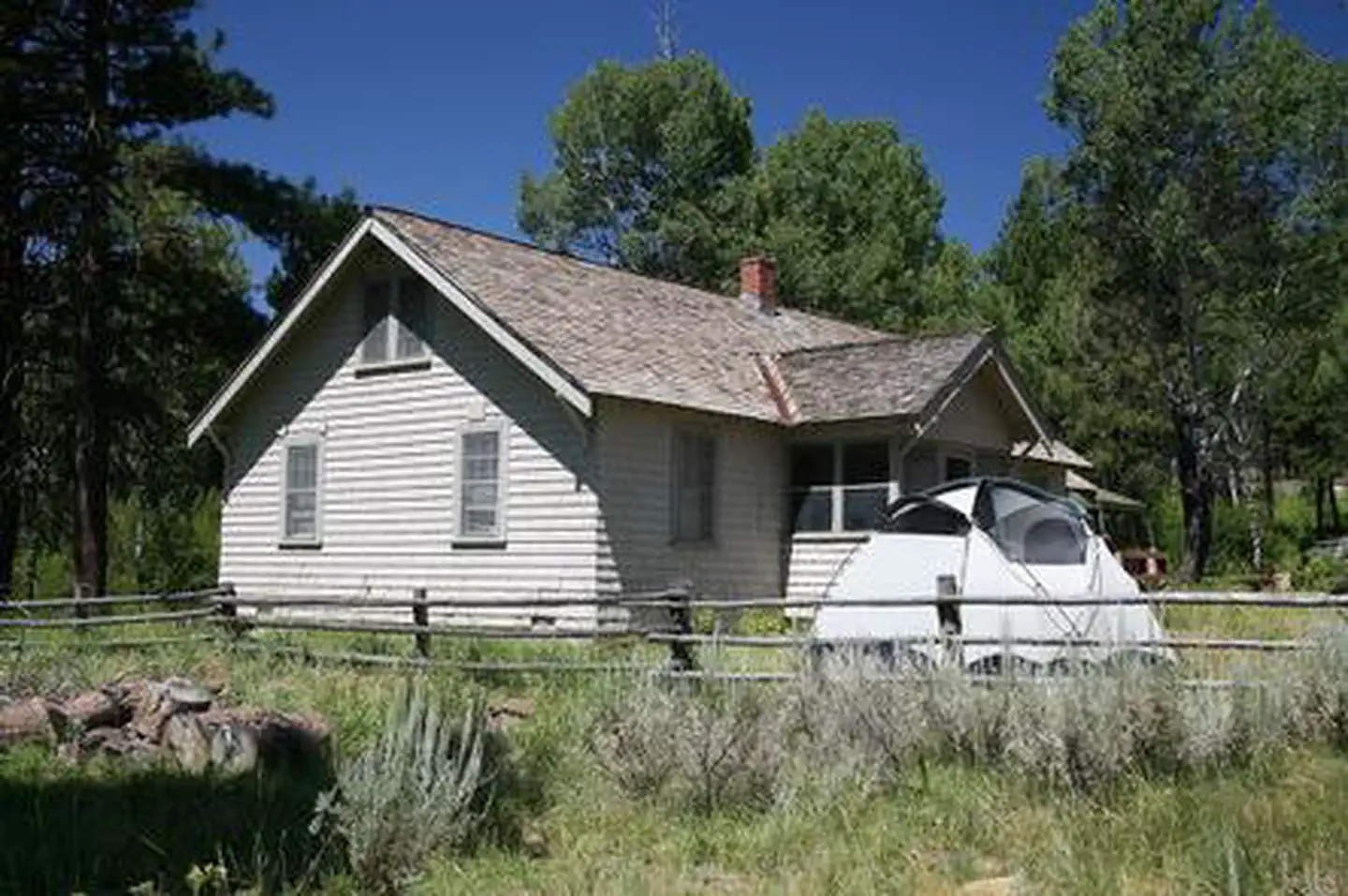
Cabin and lookout rentals nearby
Guidebooks for Oregon
We earn a small commission if you buy through these links. It does not change what we list.
Titles come from Open Library's catalog, matched by subject heading or by title.
Reference
Questions people ask
Do I need a reservation at Bingham Springs Campground?
No. Bingham Springs Campground is first-come, first-served. Sites are taken on arrival and paid at the fee station.
Source: Forest Service
How much does it cost to camp at Bingham Springs Campground?
This is a free facility.
Source: Forest Service
Is Bingham Springs Campground open right now?
Open as of Oct 26, 2026.
Source: Forest Service status
Can I bring an RV to Bingham Springs Campground?
Bingham Springs Campground is listed for tents only.
Source: Forest Service
What if Bingham Springs Campground is full?
The nearest public campgrounds are Whistler Campground (2.5 mi, first-come), Wildcat Campground and Day Use Area (5.7 mi, first-come), and White Rock Campground (6.4 mi, first-come).
Source: Campgrounds nearby