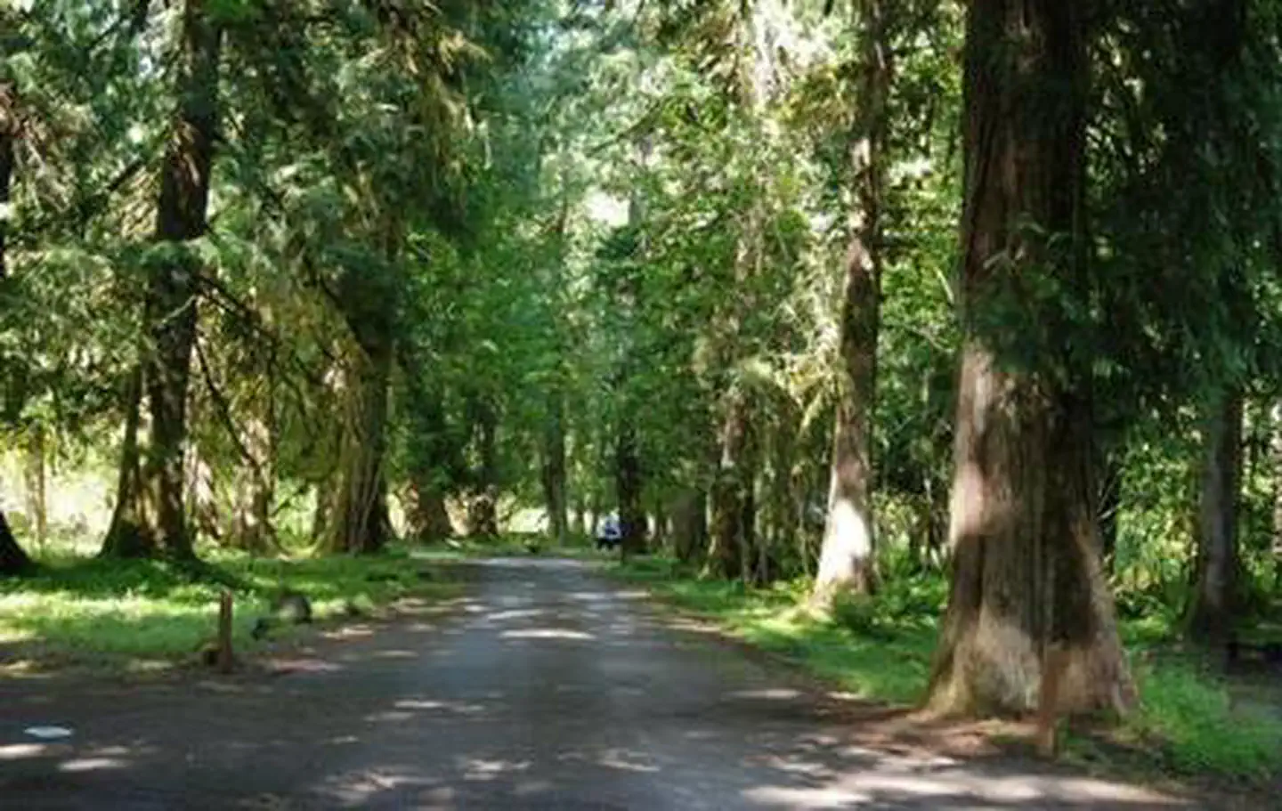
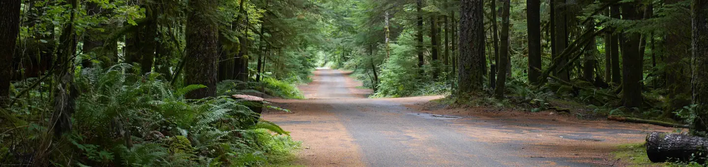
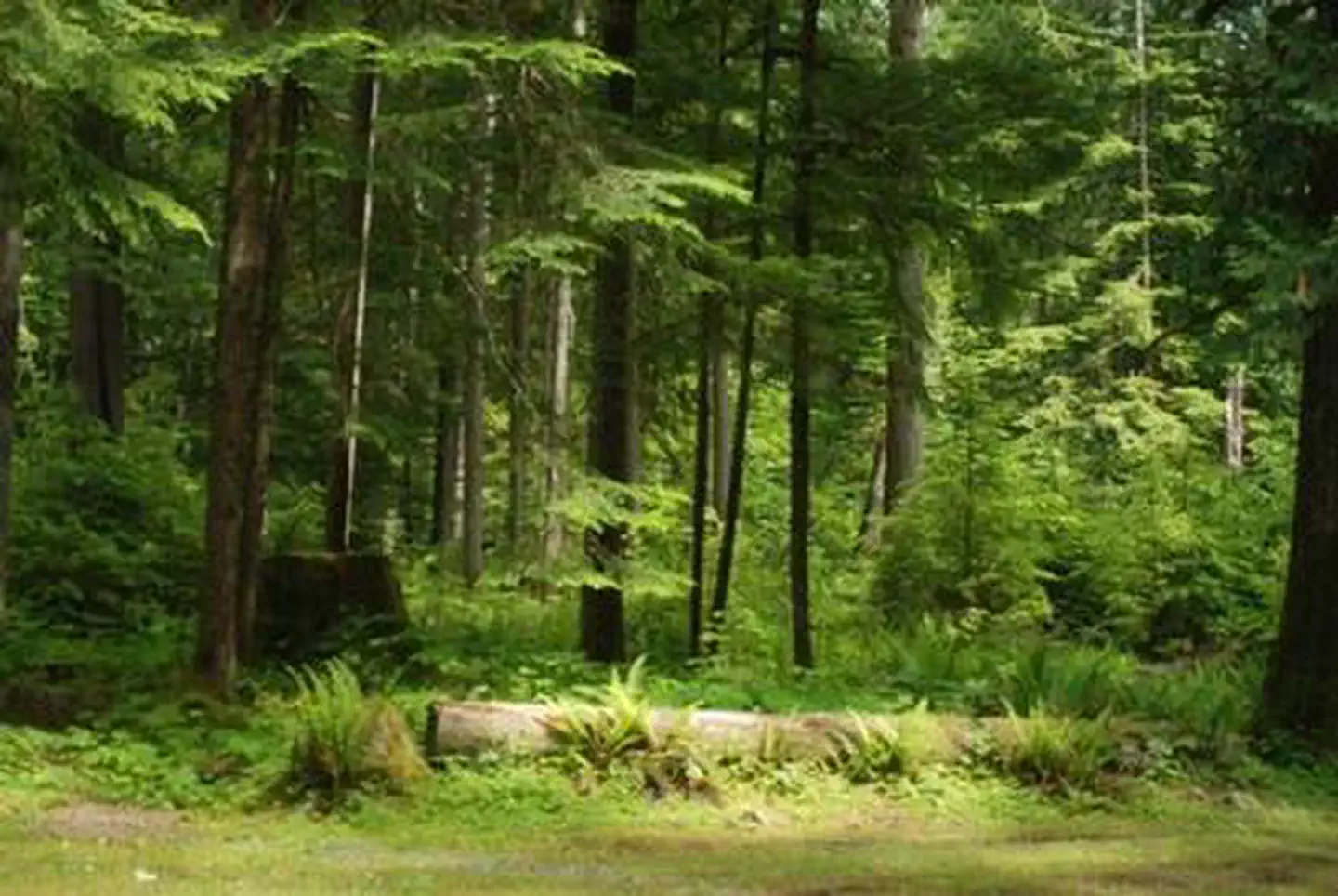
Horse Camp: Green River
Each campsite is limited to two trailer rigs or three vehicles. There is no potable water here; the closest drinking water is located 5 miles south on Road 26 at the Norway Pass Trailhead. Nearby Trails include Green River Trail #213, Goat Mountain Trail #217, Vanson Ridge Trail #213A, and Tumwater Trail #218.
More like this: first-come in Washington · free in Washington · tent only in Washington

Amenities & rules
| Equipment | Tents |
| Fees | No fee or pass required. |
Individual sites vary. Confirm on Recreation.gov or with the managing office.
Season & status
| Forest | Gifford Pinchot National Forest |
| Fees | No fee or pass required. |
Weather by month
Getting there
| Coordinates | 46.3493° N, 122.0836° W · Directions ↗ |
Fire nearby
- PrescribedNatural Bridges Pile Rx
35 mi from the campground
- WildfireGarda Falls
43 mi from the campground · 308 acres · 0% contained
- PrescribedSouth Park Rx
44 mi from the campground
- WildfireWest Fork
45 mi from the campground · 310 acres · 16% contained
Distance is to the reported incident point, not the fire edge. Call the managing office before you drive.
Supplies & services
| Dump station | Dump station ↗ | 9.1 mi |
| Outdoor gear | RMI Expeditions - Mountaineering Guide Service ↗ | 28.5 mi |
| RV sales & service | Camping World ↗ | 43.7 mi |
Locations © OpenStreetMap contributors. Call ahead; hours change seasonally.
Explore
Video
In-depth Camping Tour | Green River State Park, Utah
Worth a stop
- 5.5 miSite: Wakepish Picnic Area ↗Day use
- 6.8 mi
- 9.2 miTrailhead: South Coldwater ↗Trailhead
- 11.6 miSmith Creek Trailhead (Road 8322) ↗Trailhead
Trails nearby
- 0.6 miGoat Mountain ↗9.7 mi trail · hiking, horse, bike
- 1 miRyan Lake0.6 mi trail · hiking, horse
- 2.1 miPanhandle Lake0.1 mi trail · hiking, horse, bike
- 2.3 miGhost Lake0.5 mi trail · hiking, horse, bike
- 2.4 miGreen River ↗13.2 mi trail · hiking, horse, bike, motorcycle
- 2.5 miLakes ↗12.8 mi trail · hiking, horse, bike, ATV
Trailheads within three miles
- 0.8 miTrailhead: Goat Mountain ↗Gifford Pinchot National Forest
Trail and trailhead records are the Forest Service's. Distances are straight-line to the nearer trail end. Trail conditions are not tracked here.
Public land it sits in
This campground sits inside Gifford Pinchot National Forest.
- inGifford Pinchot National Forest ↗National Forest · Forest Service · 1,496,308 acres
Each unit is published as a centre point and an acreage rather than a boundary, so this section stands it in for a circle of the same area. Whether a campground is inside, and how far it is from one it is outside, are both approximate.
Other campgrounds nearby

On the National Register nearby
- Lawetlat'laSite · Cougar · 11.5 mi
- Randle Ranger Station–Work CenterBuilding · Randle · 14.2 mi
Guidebooks for Washington
We earn a small commission if you buy through these links. It does not change what we list.
Titles come from Open Library's catalog, matched by subject heading or by title.
Reference
Questions people ask
How much does it cost to camp at Horse Camp: Green River?
Nothing. Horse Camp: Green River is listed as free. No fee or pass required.
Source: Forest Service
Can I bring an RV to Horse Camp: Green River?
Horse Camp: Green River is listed for tents only.
Source: Forest Service
What if Horse Camp: Green River is full?
The nearest public campgrounds are Iron Creek Campground (7.2 mi, partly first-come), Tower Rock Campground (12.2 mi, partly first-come), and North Fork Campground (15.7 mi, partly first-come).
Source: Campgrounds nearby